Download
Preview
Add to list
More
10.2 km
~2 hrs 19 min
166 m
Loop
“Embark on a scenic and historic 10 km desert hike with diverse terrains and abundant wildlife at Butterfield - Maricopa Loop Trail.”
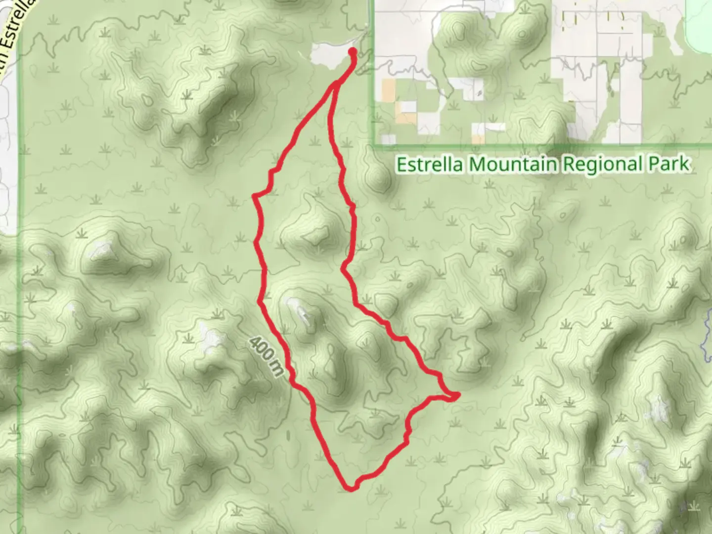
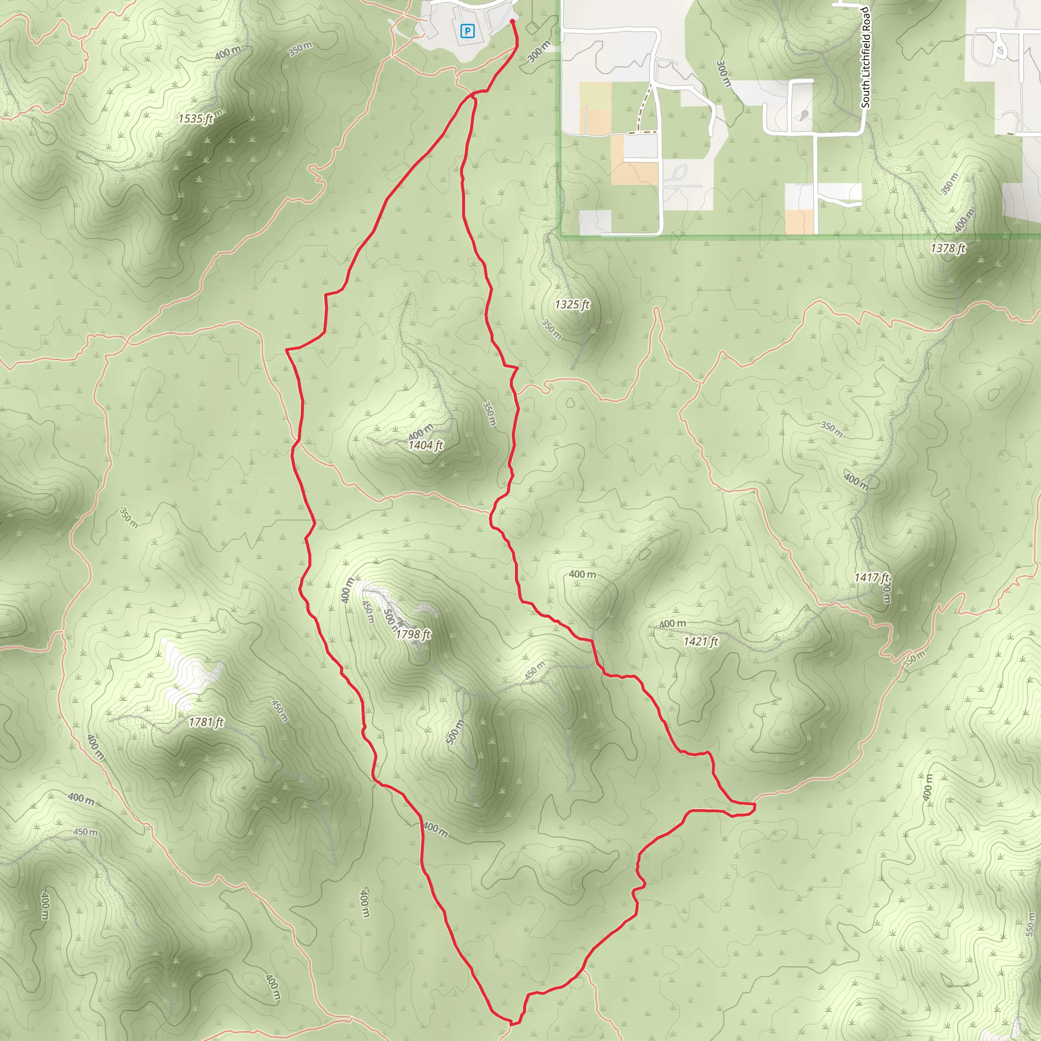
The Butterfield - Maricopa Loop Trail, nestled near Maricopa County, Arizona, offers an engaging 10 km (approximately 6.2 miles) journey through the diverse landscapes characteristic of the region. With an elevation gain of roughly 100 meters (328 feet), hikers can anticipate a moderately challenging experience that is both rewarding and accessible.
Getting to the Trailhead To reach the trailhead, if you're driving, navigate towards the White Tank Mountain Regional Park, which is the nearest significant landmark. The park is located west of Phoenix and is easily accessible via Olive Avenue. For those opting for public transportation, check local bus schedules as routes may change, but typically, buses run to the vicinity of the park, and from there, you may need to arrange a taxi or rideshare to the trailhead.
The Hike Itself Upon embarking on the Butterfield - Maricopa Loop Trail, hikers will traverse through a variety of terrains, including rocky paths, sandy washes, and the occasional flat stretches that allow for a comfortable pace. The trail is well-marked, but it's always wise to have HiiKER downloaded on your mobile device for real-time navigation and to track your progress.
As you begin your hike, the first section introduces you to the low desert environment, where you'll be greeted by the iconic saguaro cactus standing tall against the sky. Keep an eye out for the vibrant palo verde trees and the occasional cholla cactus garden. Wildlife is abundant, and it's not uncommon to spot jackrabbits, roadrunners, and if you're lucky, the elusive desert tortoise.
Historical Significance The region holds historical significance as it was once part of the Butterfield Overland Mail Route, a stagecoach service in the mid-1800s that carried passengers and mail across the American Southwest. As you hike, imagine the early settlers and miners who traversed these lands, enduring the harsh desert conditions in pursuit of new opportunities.
Landmarks and Scenic Views Approximately halfway through the loop, you'll reach a vantage point offering panoramic views of the surrounding mountains and valleys. The White Tank Mountains provide a stunning backdrop, especially during sunrise or sunset when the colors of the sky paint the landscape in hues of orange and purple.
Flora and Fauna The latter part of the trail winds through denser vegetation, where the mesquite and ironwood trees provide occasional shade. Birdwatchers will delight in the variety of species that call this area home, including the Gila woodpecker and the cactus wren, Arizona's state bird.
Preparation and Safety Before setting out, ensure you have ample water—at least one gallon per person—as the desert heat can be intense, even in cooler months. Sun protection is crucial, so wear a hat, sunscreen, and sunglasses. Sturdy hiking boots are recommended due to the uneven and rocky terrain. Lastly, always check the weather forecast and avoid the trail during extreme heat or flash flood warnings.
Remember, the Butterfield - Maricopa Loop Trail is a true representation of the Arizona desert, offering a blend of natural beauty, wildlife, and a glimpse into the region's rich history. Whether you're a seasoned hiker or someone looking to explore the outdoors, this trail provides an experience that is both challenging and fulfilling.
What to expect?
Activity types
Comments and Reviews
User comments, reviews and discussions about the Butterfield - Maricopa Loop Trail, Arizona.
4.69
average rating out of 5
16 rating(s)
