The best hikes in Greenlee County
Arizona · 110 HiiKER Hikes
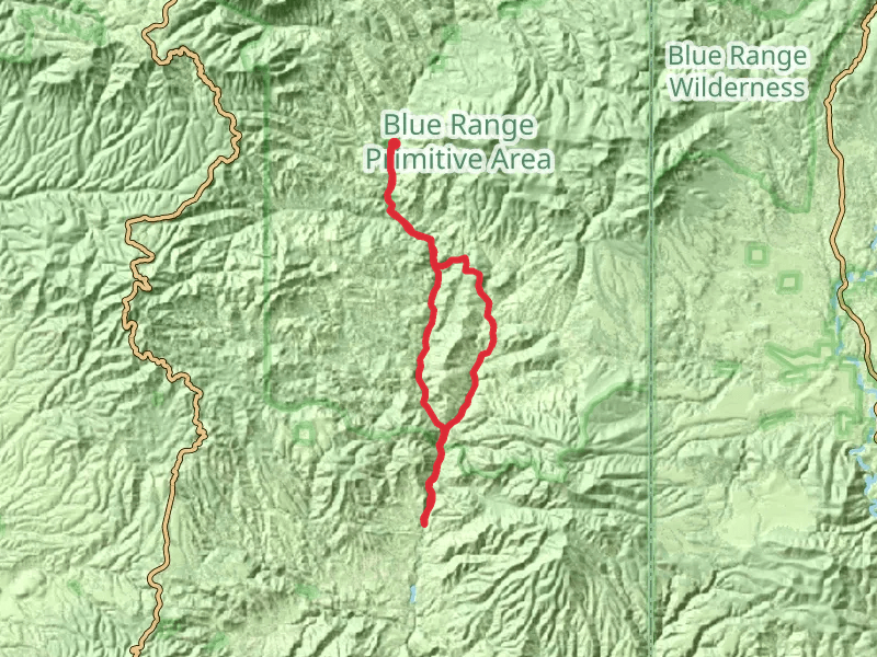
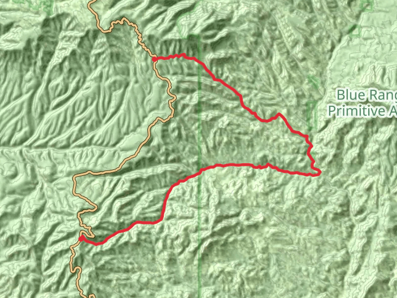
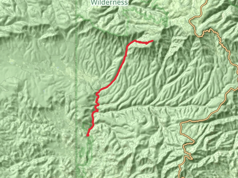
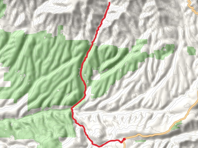
View Hikes on map

What to expect
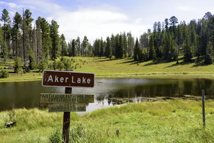
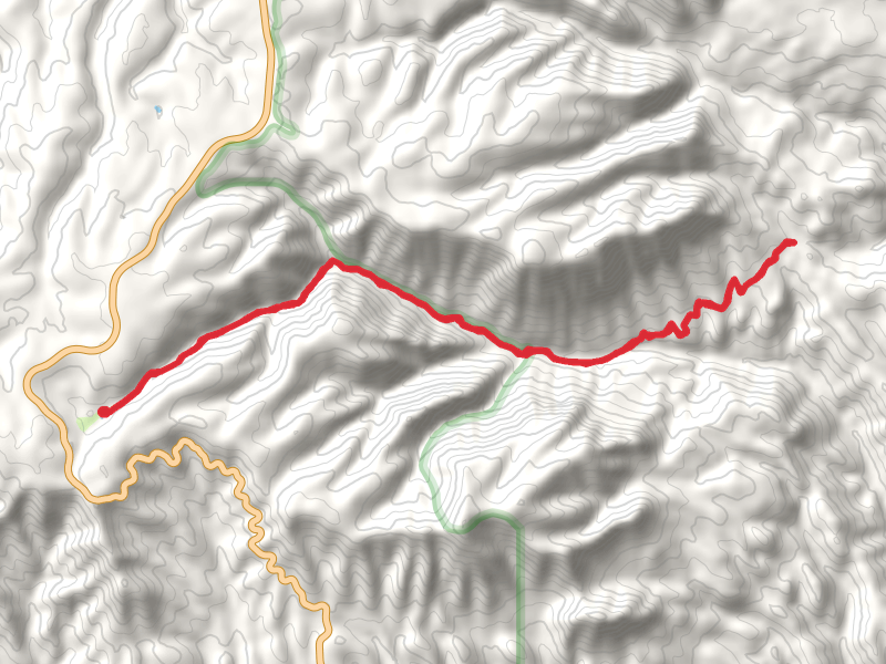
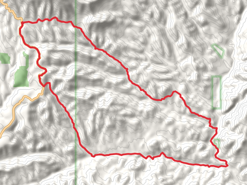
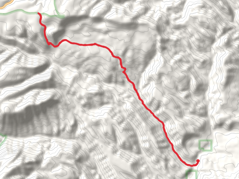
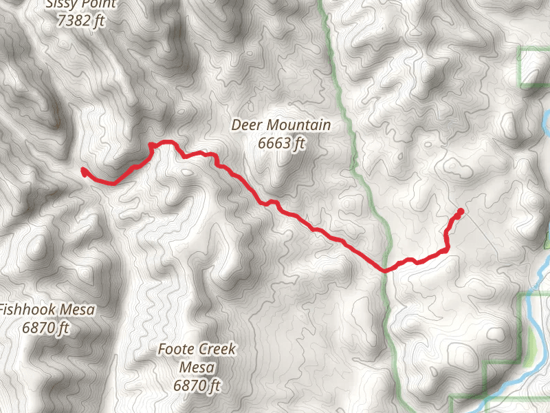
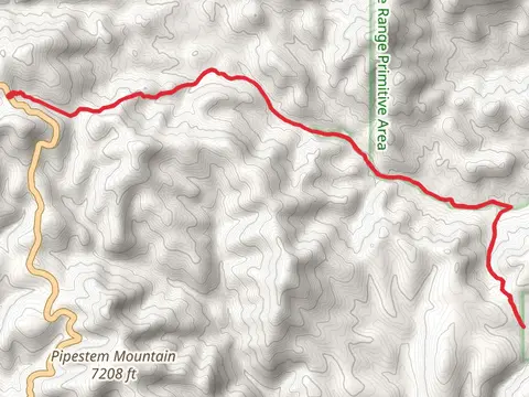
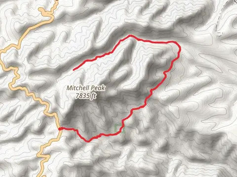
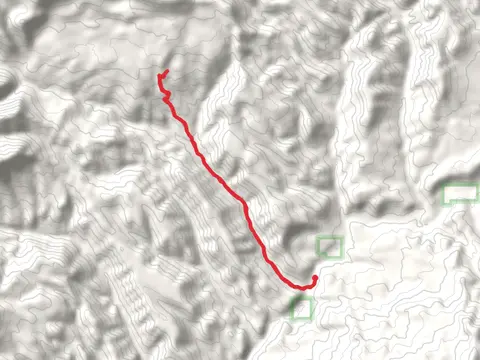
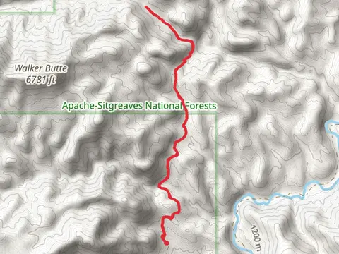
Check out some of the best hiking, walking and backpacking routes in Greenlee County, Arizona. The Blue Vista Trail is the most popular trail. There are trails of various difficulty levels including easy and medium. The trail with the highest elevation climb is the McKittrick Loop via Blue Lookout Trail and the trail with the least amount of climbing is the Pasturevia Pat Mesa Trail. The longest trail is the WS Lakevia W S Mountain Trail at 59.9 km. For a shorter adventure you can try the Blue Vista Trail at 935 m. Get off line access to Post Office, Campsite, Peak, and Water locations and much more with a Hiiker subscription.

Be prepared for hiking in Arizona with the HiiKER app