Download
Preview
Add to list
More
8.9 km
~2 hrs 18 min
321 m
Point-to-Point
“Trek through time and terrain on Shaw Peak Trail, a historical and natural Arizona spectacle.”
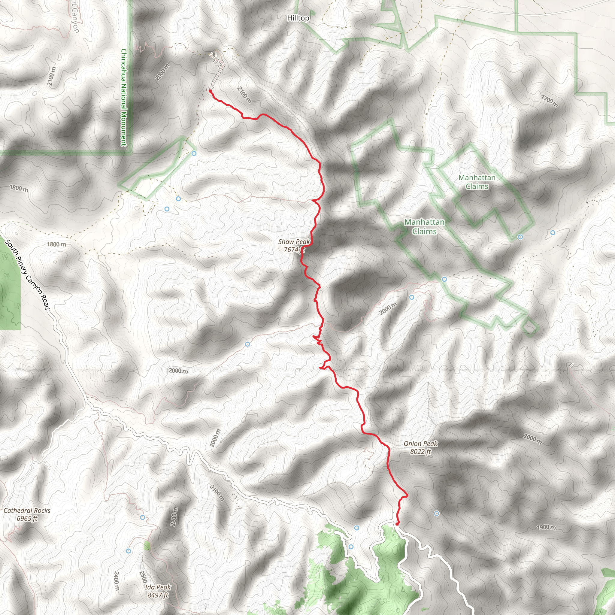
The Shaw Peak Trail, nestled in the rugged landscape of Cochise County, Arizona, offers hikers a moderately challenging experience with its approximately 9 km (5.6 miles) point-to-point journey. With an elevation gain of about 300 meters (984 feet), this trail provides a blend of scenic views and a taste of the area's rich history.
Getting to the Trailhead
To reach the trailhead, you can drive to the starting point located near Cochise County. If you're coming from Tucson, take I-10 East towards Benson and then follow AZ-80 E to your destination in Cochise County. There isn't a direct public transportation route to the trailhead, so a personal vehicle or a taxi service is your best bet. Parking is available near the trailhead, which is typically accessed via a dirt road that can be navigated by most vehicles under good weather conditions.
Navigating the Trail
As you embark on the Shaw Peak Trail, you'll find the path well-defined, though it's always wise to have a reliable navigation tool like HiiKER to ensure you stay on track. The trail begins with a gradual incline, winding through a landscape dotted with the iconic saguaro cacti and mesquite trees that are so characteristic of the Arizona desert.
Natural Wonders and Wildlife
As you ascend, keep an eye out for the diverse wildlife that inhabits the area. It's not uncommon to spot jackrabbits darting through the brush, hear the distinctive call of the cactus wren, or even catch a glimpse of a coyote in the distance. The plant life is equally fascinating, with a variety of cacti, including prickly pear and cholla, as well as desert wildflowers that add splashes of color in the spring.
Historical Significance
The region around Shaw Peak is steeped in history, with the trail itself offering a window into the past. This area was once the homeland of the Chiricahua Apache, and later became a site of mining activity in the late 19th and early 20th centuries. As you hike, you may come across remnants of old mines and evidence of the area's mining heritage.
Reaching Shaw Peak
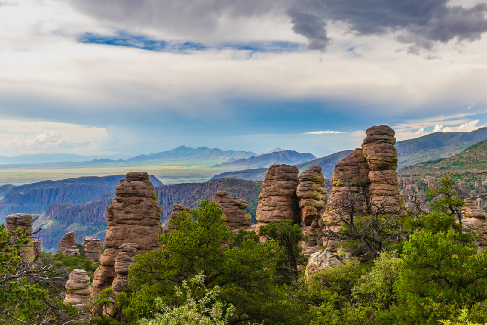
The final push to Shaw Peak is the most strenuous part of the hike, with steeper inclines and rocky terrain. However, your efforts are rewarded with panoramic views of the surrounding mountains and valleys. At the summit, take a moment to appreciate the vastness of the Arizona landscape before you.
Descent and Return
After reaching the peak, you'll retrace your steps back down the trail to return to the trailhead. The descent is generally easier, but it's important to remain cautious on the loose and potentially slippery terrain.
Preparation Tips
Before setting out on the Shaw Peak Trail, ensure you're well-prepared with plenty of water, sun protection, and sturdy hiking boots. The Arizona sun can be intense, even in cooler months, so sunscreen and a hat are essential. Also, be sure to check the weather forecast and start your hike early in the day to avoid the midday heat.
Remember, the Shaw Peak Trail offers a rewarding experience for those looking to explore the natural beauty and historical intrigue of Cochise County, Arizona. With the right preparation and a sense of adventure, it's a hike that can be enjoyed by many.
Comments and Reviews
User comments, reviews and discussions about the Shaw Peak Trail, Arizona.
4.25
average rating out of 5
4 rating(s)

