The best hikes in Cochise County
Arizona · 166 HiiKER Hikes
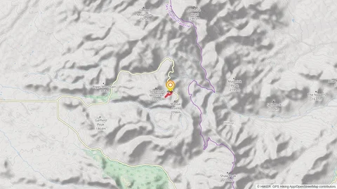
View Hikes on map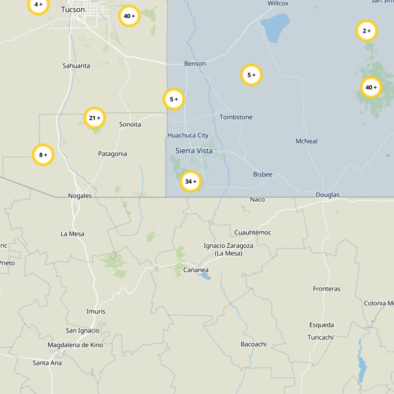
What to expect
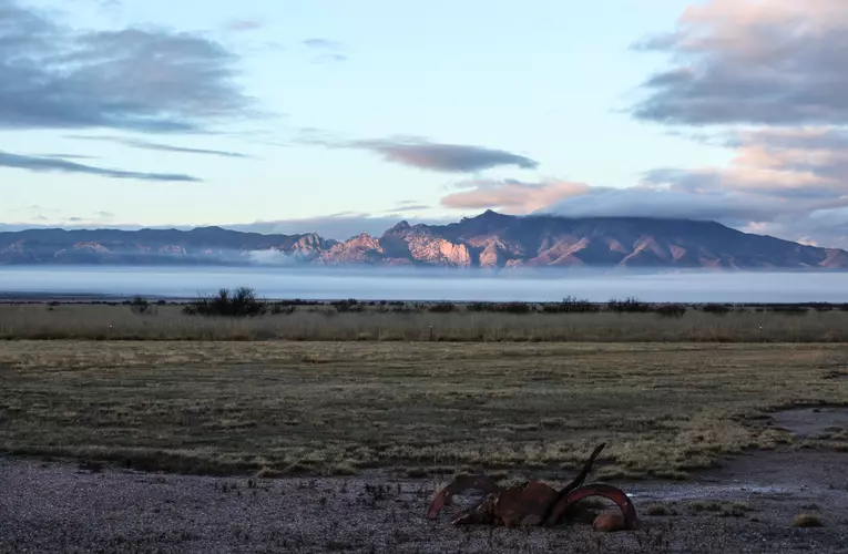
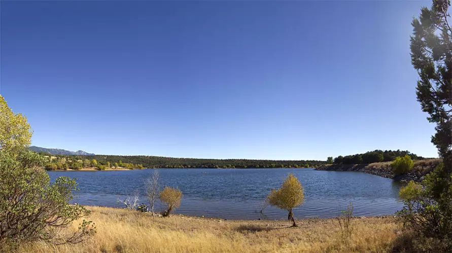
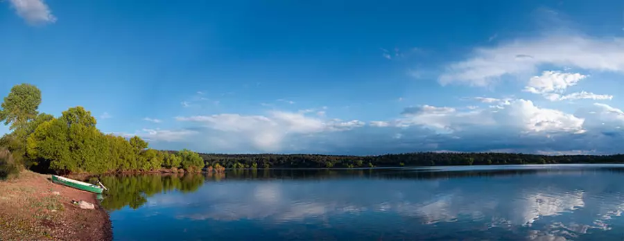
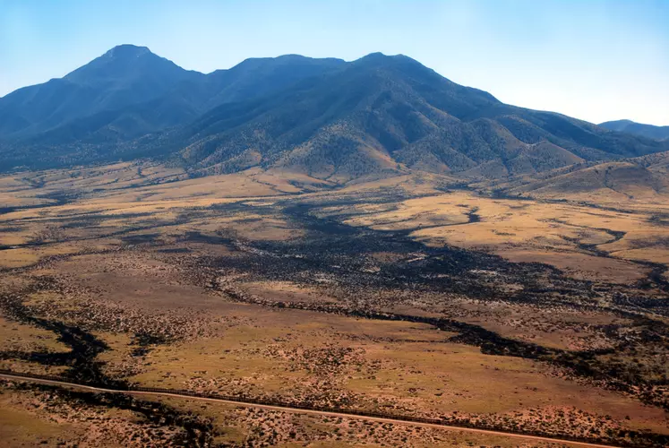
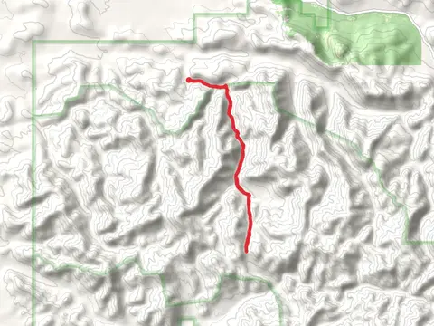
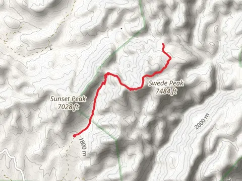
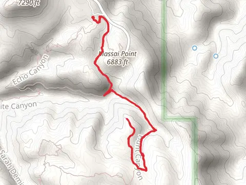
Check out some of the best hiking, walking and backpacking routes in Cochise County, Arizona. The Arizona Trail is the most popular trail. The trails have 1223 user reviews with great photos and information. There are trails of various difficulty levels including easy, medium, difficult, and extra difficult. The trail with the highest elevation climb is the Chiricahua Peak and Mormon Saddle via Mormon Canyon Trail and the trail with the least amount of climbing is the San Pedro River via Sky Island Traverse. The longest trail is the Arizona Trail at 1265.0 km. For a shorter adventure you can try the Montezuma Canyon Road at 314 m. Get off line access to History, Campsite, Peak, and Water locations and much more with a Hiiker subscription.

Be prepared for hiking in Arizona with the HiiKER app