Download
3D Flyover
Add to list
More
46.0 km
~2 days
408 m
Multi-Day
“Embark on Alabama's Conecuh Trail to discover tranquil forests, diverse wildlife, and serene natural springs.”
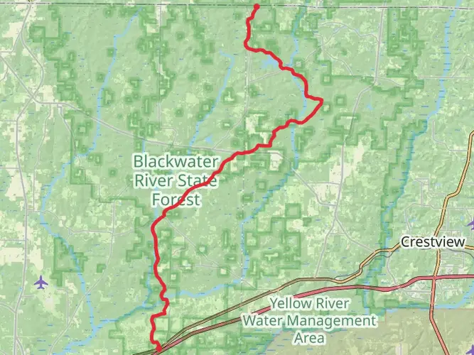
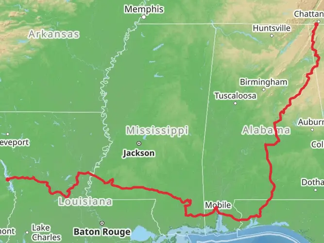
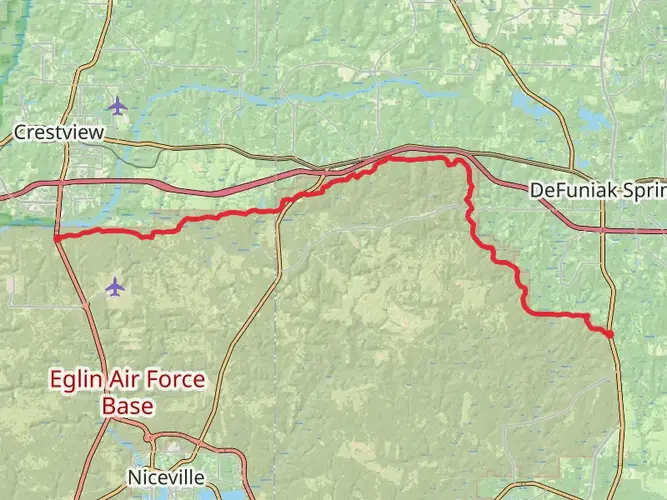
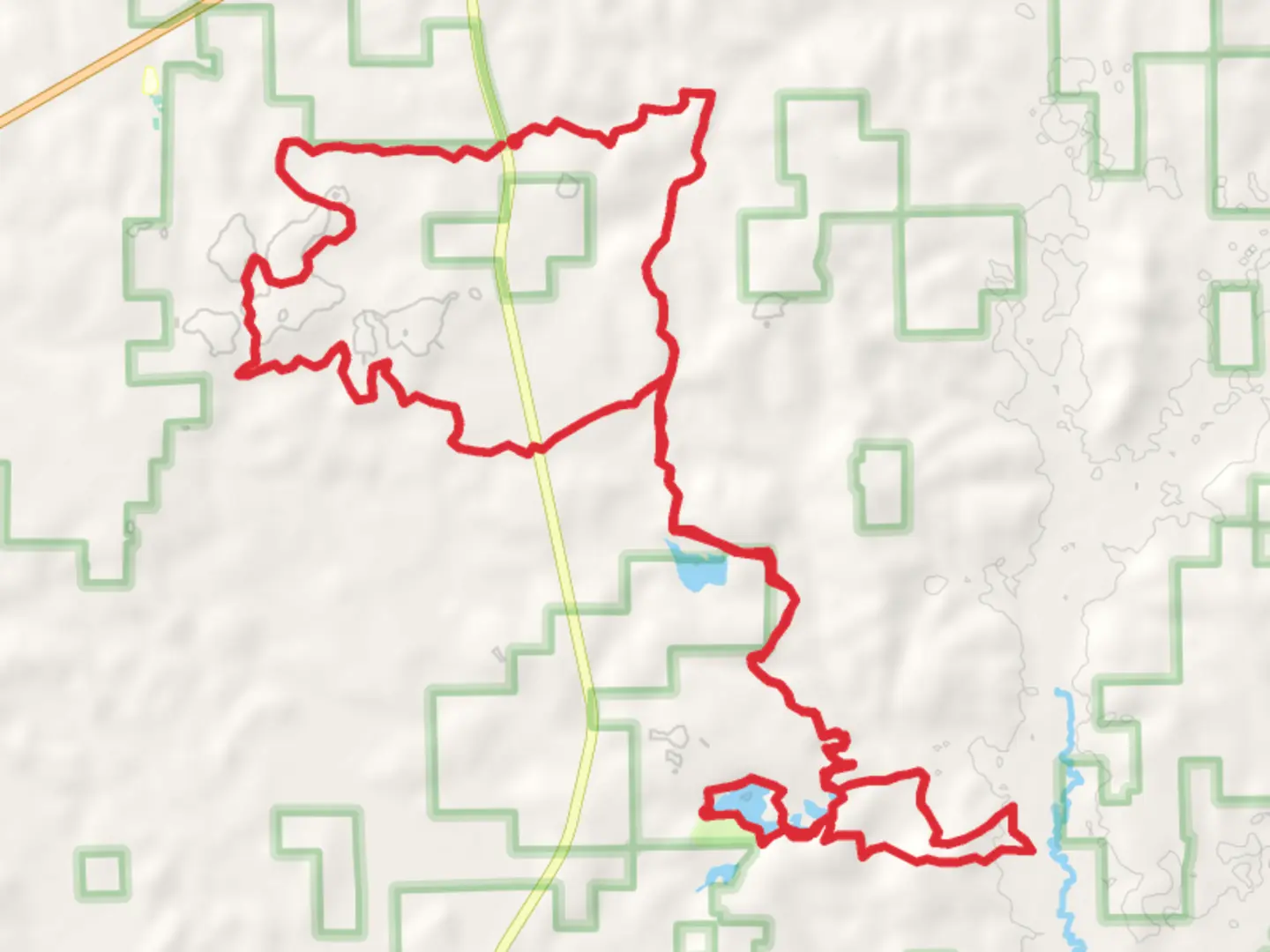
The Conecuh Trail winds through the rolling hills of southern Alabama, offering a moderately challenging hike that spans approximately 46 kilometers (around 28.5 miles) with an elevation gain of about 400 meters (roughly 1,300 feet). This loop trail is nestled within the Conecuh National Forest, starting near Covington County, and is known for its diverse ecosystems and tranquil beauty.
Getting to the Trailhead
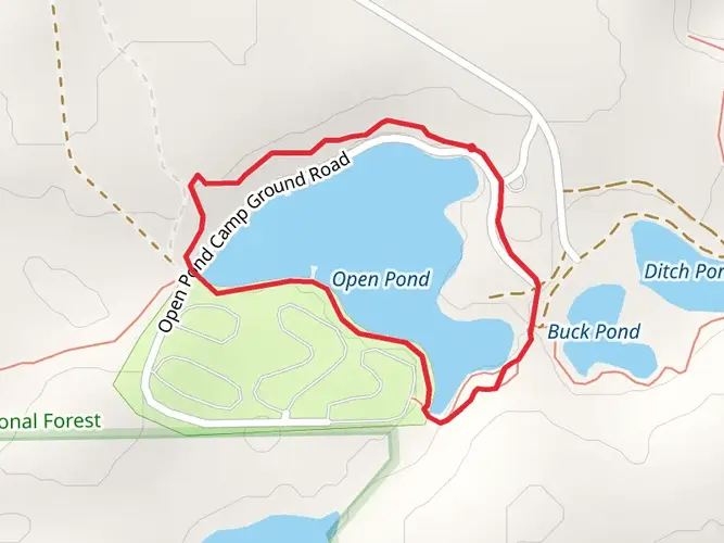
To reach the trailhead by car, hikers should head towards the Open Pond Recreation Area, which is a well-known landmark and the primary gateway to the Conecuh Trail. The area is accessible via Alabama Highway 137, a short drive south of Andalusia, Alabama. For those relying on public transportation, the nearest significant town with bus services is Andalusia. From there, a taxi or a local shuttle service can be arranged to the Open Pond area.
Navigating the Trail
Hikers can rely on the HiiKER app for detailed maps and navigation assistance throughout their journey on the Conecuh Trail. The trail is well-marked with blue blazes, ensuring a straightforward navigation experience. The loop can be tackled in either direction, but many choose to hike in a clockwise manner, starting from the Open Pond area.
Landmarks and Natural Features
As you embark on the Conecuh Trail, you'll traverse a variety of landscapes, including longleaf pine forests, cypress swamps, and hardwood bottoms. The trail crosses multiple wooden boardwalks that protect the delicate wetland ecosystems while providing hikers with up-close views of the vibrant flora and fauna.
One of the first significant landmarks encountered is the Blue Spring, located approximately 6.4 kilometers (4 miles) from the trailhead. This natural spring is a serene spot, ideal for a rest and to enjoy the cool, clear waters. Further along, at around the halfway point, the trail meanders by Nellie Pond, a picturesque area that's perfect for birdwatching.
Wildlife and Flora
The Conecuh National Forest is home to an array of wildlife, including white-tailed deer, wild turkeys, and numerous species of birds. The trail's diverse habitats support a rich birdlife, making it a haven for birdwatchers, especially during the migratory seasons. Hikers should also be aware of the presence of snakes and practice caution, particularly in warmer months.
Historical Significance
The region surrounding the Conecuh Trail is steeped in history, with the land once inhabited by the Creek Nation before European settlement. The trail itself doesn't feature prominent historical landmarks, but the Conecuh National Forest's establishment in the early 20th century was part of a broader conservation effort to restore forests in the southeastern United States.
Preparation and Planning
Before setting out, hikers should be prepared for the humid subtropical climate of southern Alabama, which can bring hot summers and mild winters. Adequate water, insect repellent, and sun protection are essential. While the trail is rated as medium difficulty, it's accessible to most hikers with a reasonable level of fitness. Overnight camping is permitted at designated sites along the trail, and hikers can enjoy the solitude of the forest by staying at one of the primitive campsites.
Remember, the Conecuh Trail offers a peaceful retreat into nature's embrace, with the gentle hills and diverse ecosystems providing a memorable hiking experience for those who venture onto its path.

Comments and Reviews
User comments, reviews and discussions about the Conecuh Trail, Alabama.
4.5
average rating out of 5
18 rating(s)