
Download
3D Flyover
More
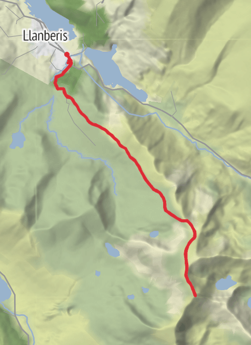
Trail length
15.6 km
Time
~8h 5m 33s
Elevation Gain
974 m
Hike Type
Out and Back
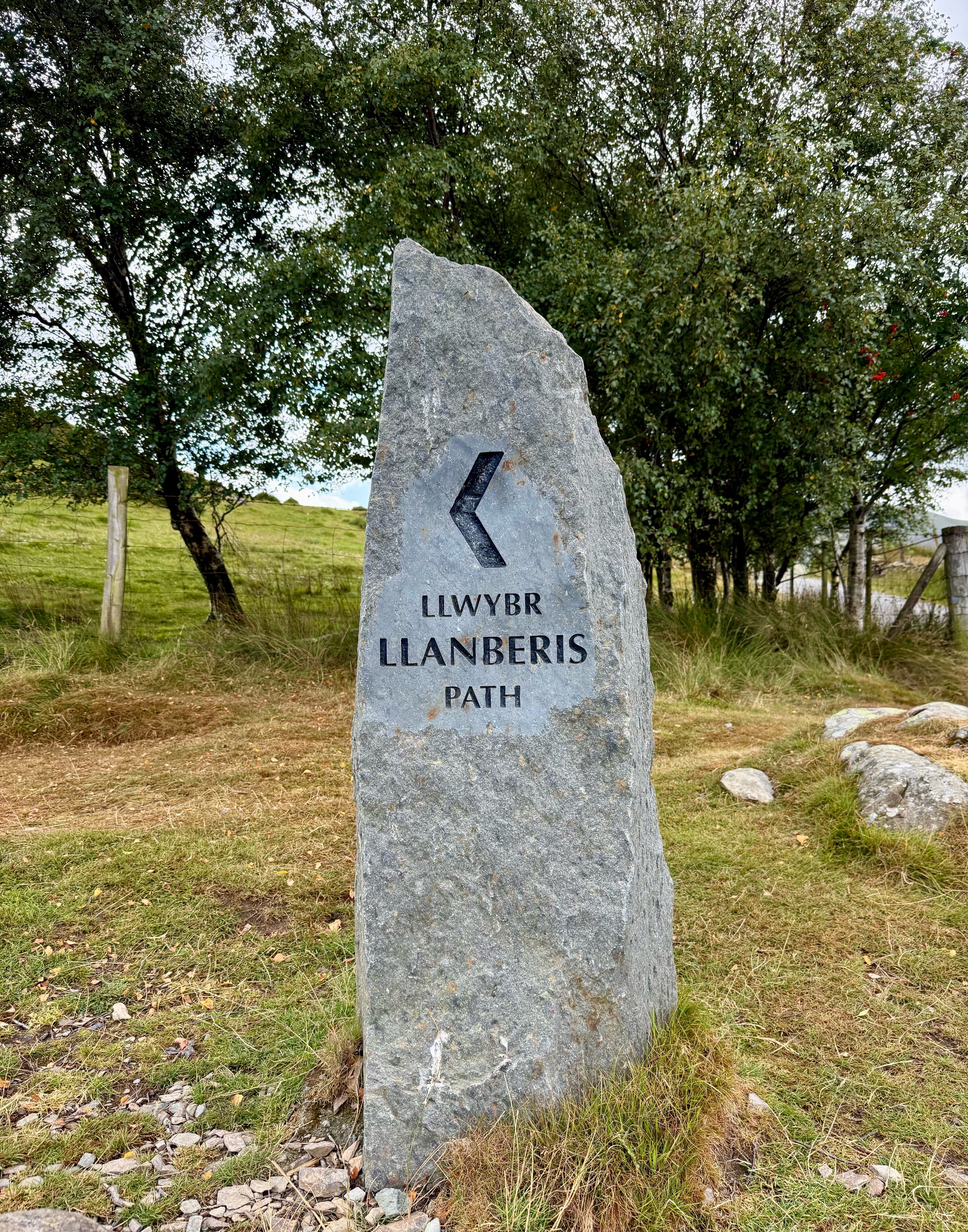
Easiest path up Snowdon but beware as steep leg burner at the start. Take more water than you think you need
Comments and Reviews
User comments, reviews and discussions about this recording.
—
average rating out of 5
0 ratings