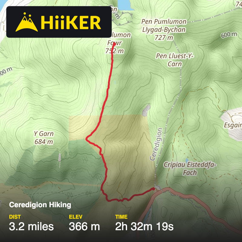
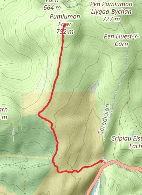
Plynlimon Farr Mountain Up
A44, Blaenrheidol, Eisteddfa Gurig, Ceredigion, Wales, United Kingdom
March 20, 2026 Imported from Garmin
Download
3D Flyover
More
Trail length
5.2 km
Time
~2h 32m 19s
Elevation Gain
366 m
Hike Type
Point to Point
This is a recorded trail by Bobbleydawgz. This recording was saved on 2026-03-20.
Comments and Reviews
User comments, reviews and discussions about this recording.
—
average rating out of 5
0 ratings