Download
3D Flyover
More
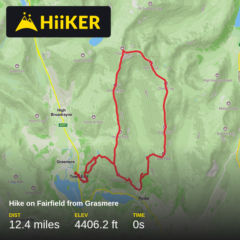
Trail length
19.9 km
Time
~0s
Elevation Gain
1343 m
Hike Type
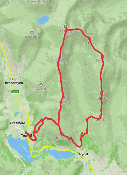
Loop
Its best from Ambleside, if you have no choice and has to be grasmere it works, the second ascent to low pike isn't enjoyable in any form and the path disappears near the ridge
Comments and Reviews
User comments, reviews and discussions about this recording.
—
average rating out of 5
0 ratings