Search a hike or location

search
Share:

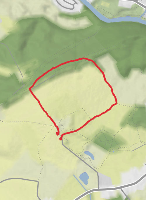
A map preview of the recording Benthall edge.
Athom747 avatar Recorded by Athom747

Benthall edge

The Avenue, Broseley, TF12 5, United Kingdom

August 16, 2026

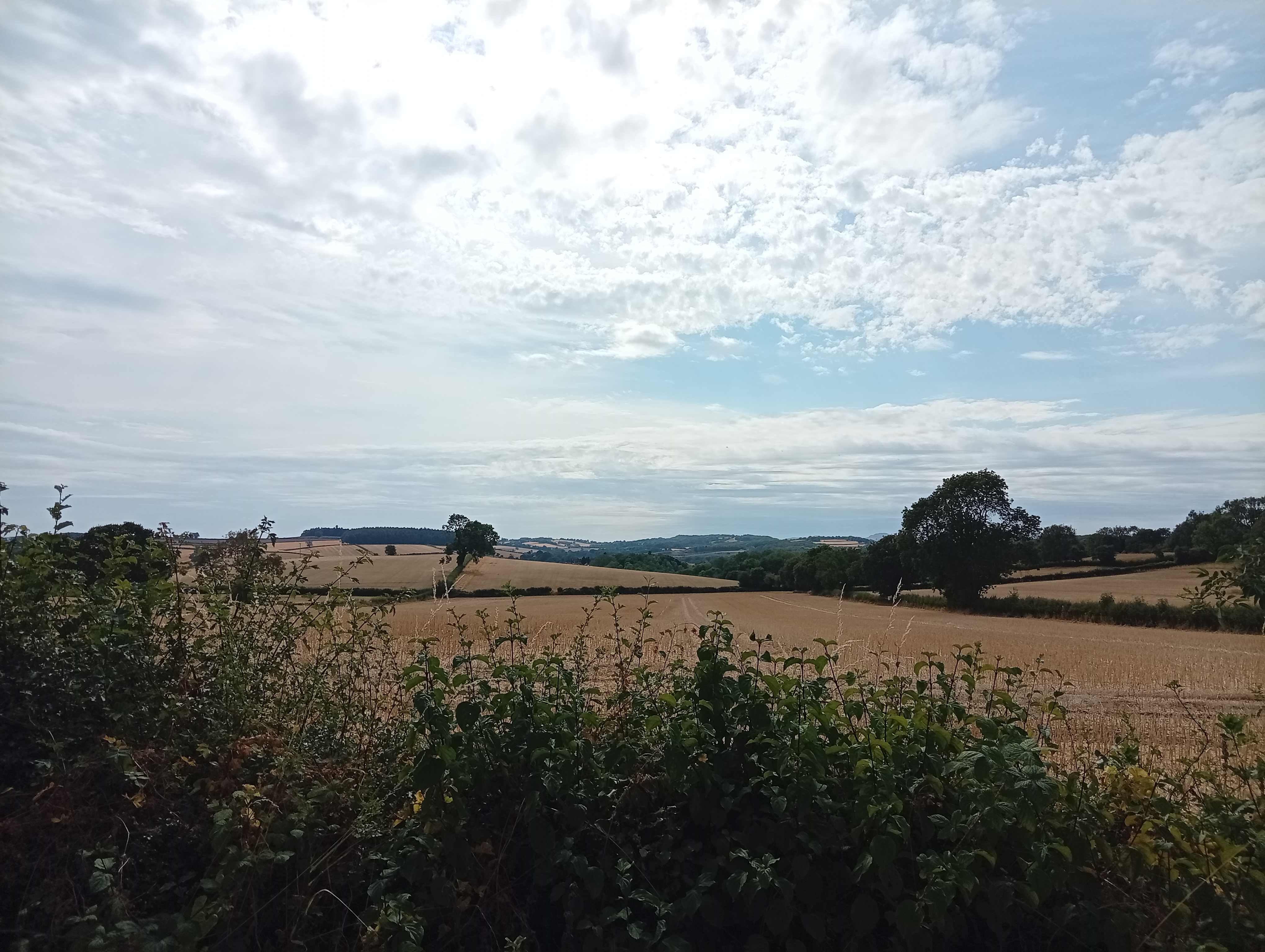
photo_library Photos (2)
arrow_circle_down

Download

play_arrow

3D Flyover


Trail length

2.6 km

Time

~51m 58s

Elevation Gain

31 m

very pretty with snack shack in the carpark


Comments and Reviews

User comments, reviews and discussions about this recording.

star

average rating out of 5

0 ratings