Search a hike or location
Circular from Bont-goch near Aberystwyth
Ceredigion, Wales
Craig-y-Pistyll - Cambrian Mountains
Coast from Borth to Aberystwyth
Borth to Devil's Bridge to Pontrhydfendigaid Trail
Nant Y Arian Loop
Ystwyth Trail
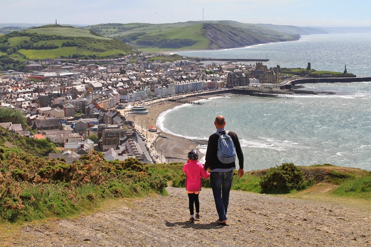
Aberystwyth and Constitution Hill
Plynlimon - Severn Loop
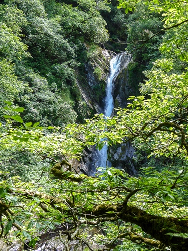
Devil's Bridge Falls Walk
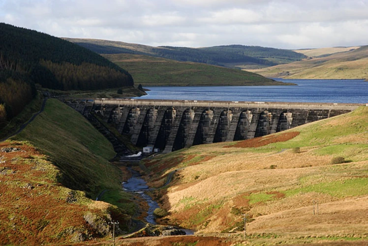
Plynlimon and Nant-y-Moch Reservoir
Here are some great hikes to explore in Ceredigion.
Easy
Ceredigion, Wales · star 4.6 (41) · 8.1 km · Est. 2 hrs
Ceredigion, Wales · star 4.5 (48) · 16.9 km · Est. 4 hrs 7 min
Medium
Ceredigion, Wales · star 4.5 (64) · 10.7 km · Est. 2 hrs 37 min
Ceredigion, Wales · star 4.7 (39) · 64.1 km · Est. 3 days
Ceredigion, Wales · star 4.5 (45) · 5.5 km · Est. 1 hrs 29 min
Ceredigion, Wales · star 4.5 (39) · 32.2 km · Est. 7 hrs 20 min
Ceredigion, Wales · star 4.5 (48) · 7.6 km · Est. 1 hrs 55 min
Difficult
Ceredigion, Wales · star N/A (0) · 17.9 km · Est. 4 hrs 29 min
Ceredigion, Wales · star 4.4 (40) · 1.3 km · Est. 29 min
Ceredigion, Wales · star 4.6 (36) · 17.4 km · Est. 4 hrs 30 min
RoamerWildtracker47 · reviewed about 2 years ago
star star star star star
SummitWanderer56 · reviewed about 2 years ago
dgraef · reviewed about 2 months ago
Gnat · reviewed over 1 year ago
NaturePioneer13 · reviewed about 2 years ago
by difficulty
by type
by activity
Choose which optional cookies and similar technologies HiiKER can use on this device. Privacy & cookie policy
Sign-in, security, checkout, support chat when you open it, and remembering these choices.
Google Analytics and PostHog (our own EU-hosted analytics) — which pages are visited and how features are used, so we can improve HiiKER.
Google Ads, Meta, Reddit and X pixels and Rewardful referral tracking — they tell those platforms when someone arrives from, or buys after, one of our ads or referrals. Turning this off opts you out of the "sale" or "sharing" of your personal information for targeted advertising.