Download
3D Preview
Add to list
More
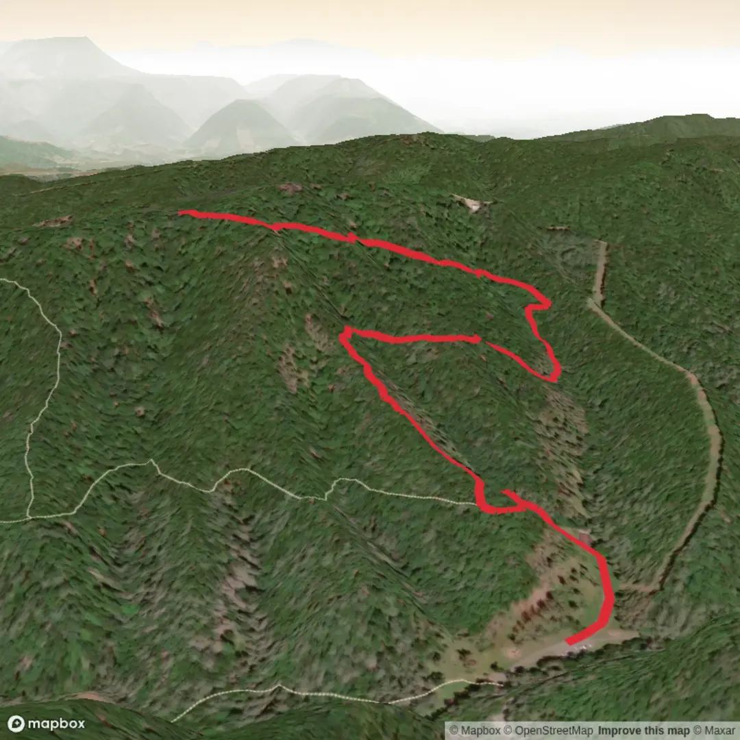
4.9 km
~1 hrs 3 min
44 m
Out and Back
“A gentle, mostly level ramble where quiet woods, birdsong, and settlement echoes invite unhurried wandering.”
A gentle, mostly level out-and-back or loop-style walk of about 5 km (3.1 mi) with negligible elevation gain (~0 m / ~0 ft), this route is well-suited to families, newer hikers, and anyone looking for an easy nature-and-history stroll. Expect a mix of compacted path, short grassy stretches, and occasional softer ground after rain, with plenty of time to pause at interpretive points and scan the edges for birds and small wildlife.
Getting to the trailhead (car + public transport)
I’m missing the trailhead coordinates (lon/lat) and the state/nearest town for “Busch Settlement Trail,” so I can’t reliably convert the start point to the nearest address/landmark yet.
If you share either:
- the lon/lat for the start (or a pin), or
- the nearest town/park name,
I’ll translate that into the closest drivable address or prominent landmark and give precise car and transit options.
In the meantime, here’s what to plan for with typical access to easy settlement/heritage trails: - By car: look for a signed heritage site/park entrance with a small pull-off or gravel lot. Arrive earlier on weekends if the trail is tied to a historic site or picnic area. - By public transport: these trails are often reachable by a bus route to the nearest town center plus a short rideshare/taxi or a longer walk. Once you provide the location, I’ll map the most practical stop-to-trailhead approach.
What the walk is like underfoot
With essentially flat terrain, the main “difficulty” comes from surface conditions rather than climbing: - Firm, packed tread is common near trailheads and interpretive areas. - Soft spots can appear in low-lying sections—after rain or snowmelt, expect shallow puddling or muddy edges. - Roots and short boardwalk/bridge segments are common where the trail crosses damp ground or small drainages.
Footwear: light hikers or trail runners are usually enough; after wet weather, water-resistant shoes help.
Route flow and key points (approximate distances)
Because the exact alignment can vary by park, use HiiKER to confirm the current track and any short spurs.
0.0–1.0 km (0.0–0.6 mi): Settling in The first kilometer is typically the most “managed”: clearer signage, wider tread, and the highest chance of interpretive panels. This is where you’ll often find the best clues to the area’s settlement story—names, dates, and land-use changes.
1.0–2.5 km (0.6–1.6 mi): Quiet woods and edge habitat The middle portion is usually the most nature-forward. Trails associated with historic settlements often pass through second-growth forest (regrown after logging/farming), with a noticeable transition between denser woods and brighter edges. Edge habitat is where you’ll most often see:
- songbirds flitting between shrubs and canopy
- butterflies and pollinators in sunny openings (seasonal)
- deer sign (tracks, browse lines) near thickets
2.5 km (1.6 mi): Turnaround / focal landmark zone On a 5 km (3.1 mi) outing, the halfway point is often where a feature is placed: a viewpoint, a remnant foundation, a cemetery, an old road trace, or a small wetland crossing. If the trail is designed as a loop, this is where you’ll typically choose the return leg.
2.5–5.0 km (1.6–3.1 mi): Return The return is straightforward and flat; it’s a good time to slow down and look for details missed on the way out—old fence lines, stone piles, or subtle berms that hint at former property boundaries.
Landmarks and historical context to watch for
“Settlement” trails commonly highlight how people lived on and shaped the land. Without the exact region, here are the most likely historic features you may encounter—and what they mean: - Old foundations or cellar depressions: shallow rectangular dips or stone outlines can mark former homes or outbuildings. - Stone walls / stone piles: in many parts of the U.S., these indicate fields cleared for farming; stones were stacked at edges over decades. - Old roadbeds: a long, slightly raised, straight corridor through woods can be a former wagon road or access track. - Orchard remnants: evenly spaced older trees (often apple) can persist long after a homestead is gone. - Interpretive signage: if present, it often explains who settled the area, what industries existed (timber, farming, milling), and why the settlement declined or moved.
If you provide the location, I can tailor this to the specific settlement era (e.g., early colonial, 19th-century agricultural, logging-era, immigrant community) and point out what that history typically leaves behind on the ground.
Nature and wildlife (what you’re likely to see)
On an easy, low-elevation trail, wildlife viewing is often best at dawn/dusk and along edges (where woods meet open areas).
Common possibilities depending on region: - Birds: woodpeckers, chickadees/titmice, nuthatches, and seasonal migrants; listen for drumming on dead snags. - Mammals: deer are most likely; smaller mammals (squirrels, chipmunks) are common; fox/coyote are possible but usually unseen. - Amphibians near wet spots: frogs and salamanders

Comments and Reviews
User comments, reviews and discussions about the Busch Settlement Trail, West Virginia.
average rating out of 5
0 rating(s)