Download
Preview
Add to list
More
18.6 km
~1 day 0 hrs
913 m
Out and Back
“Embark on a moderately challenging, breathtaking hike to Crystal Lake through the lush Gifford Pinchot National Forest.”
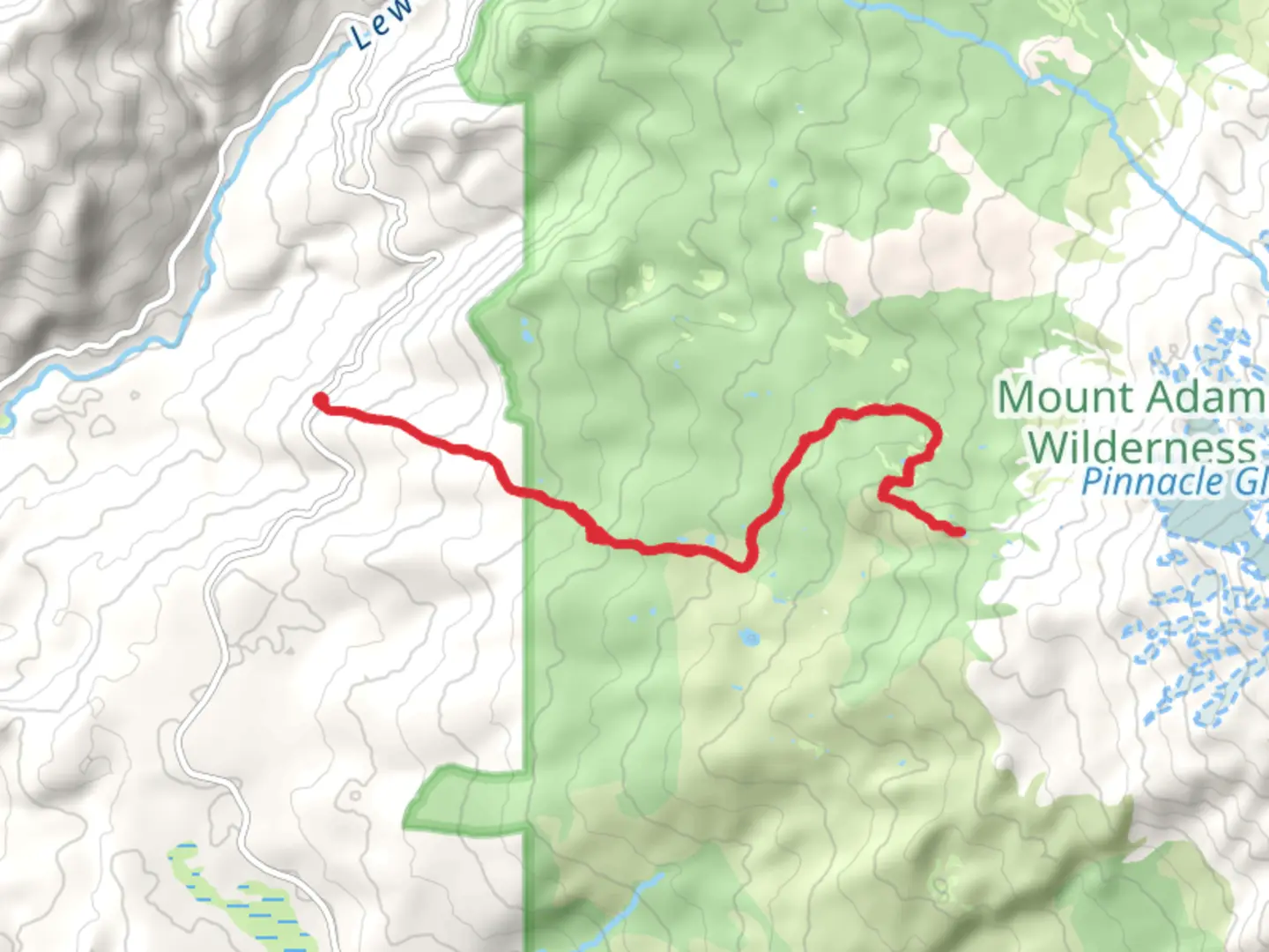
Starting your adventure near Skamania County, Washington, the Crystal Lake via Riley Camp Trail offers a captivating journey through the Gifford Pinchot National Forest. This out-and-back trail spans approximately 19 kilometers (around 12 miles) with an elevation gain of about 900 meters (approximately 3,000 feet), making it a moderately challenging hike suitable for those with some hiking experience.
Getting There To reach the trailhead, you can drive or use public transportation. If driving, head towards the town of Carson, Washington. From Carson, take the Wind River Highway north for about 14 miles (22.5 kilometers) until you reach the turnoff for Forest Road 65. Follow Forest Road 65 for approximately 6 miles (9.7 kilometers) to the trailhead parking area. For those relying on public transport, the nearest significant landmark is the town of Carson, where you can arrange for a taxi or rideshare to the trailhead.
Trail Overview The trail begins with a gentle ascent through dense forest, characterized by towering Douglas firs and western hemlocks. The first 3 kilometers (1.9 miles) are relatively easy, with a gradual elevation gain of about 150 meters (492 feet). This section is perfect for warming up and getting accustomed to the terrain.
Significant Landmarks and Nature As you progress, the trail becomes steeper, and you'll encounter several switchbacks. Around the 5-kilometer (3.1-mile) mark, you'll reach a beautiful viewpoint overlooking the Wind River Valley. This is an excellent spot for a short break and some photos.
Continuing on, the trail meanders through lush meadows filled with wildflowers during the spring and summer months. Keep an eye out for local wildlife, including deer, elk, and various bird species. The forest canopy provides ample shade, making this section of the hike quite pleasant even on warmer days.
Historical Significance The Gifford Pinchot National Forest is named after Gifford Pinchot, the first Chief of the United States Forest Service and a pioneer in American forestry. This region has a rich history of logging and conservation, and remnants of old logging roads can still be seen along the trail.
Final Ascent to Crystal Lake The final 4 kilometers (2.5 miles) involve a more strenuous climb, with an elevation gain of about 450 meters (1,476 feet). The trail becomes rockier and more rugged, so sturdy hiking boots are recommended. As you approach Crystal Lake, the forest opens up, offering stunning views of the surrounding peaks.
Crystal Lake itself is a pristine alpine lake, nestled in a bowl surrounded by rocky cliffs. The clear, cold waters are perfect for a refreshing dip, and the area around the lake is ideal for a picnic. This is the turnaround point for the hike, so take your time to enjoy the serene beauty before heading back the way you came.
Navigation and Safety For navigation, it's highly recommended to use the HiiKER app, which provides detailed maps and real-time updates. Ensure you have plenty of water, snacks, and layers of clothing, as weather conditions can change rapidly in the mountains. Always let someone know your hiking plans and estimated return time.
This trail offers a rewarding experience with its diverse landscapes, historical significance, and the stunning beauty of Crystal Lake. Whether you're a seasoned hiker or looking to challenge yourself, this trail is sure to leave a lasting impression.

What to expect?
Activity types
Comments and Reviews
User comments, reviews and discussions about the Crystal Lake via Riley Camp Trail, Washington.
4.57
average rating out of 5
14 rating(s)