Download
Preview
Add to list
More
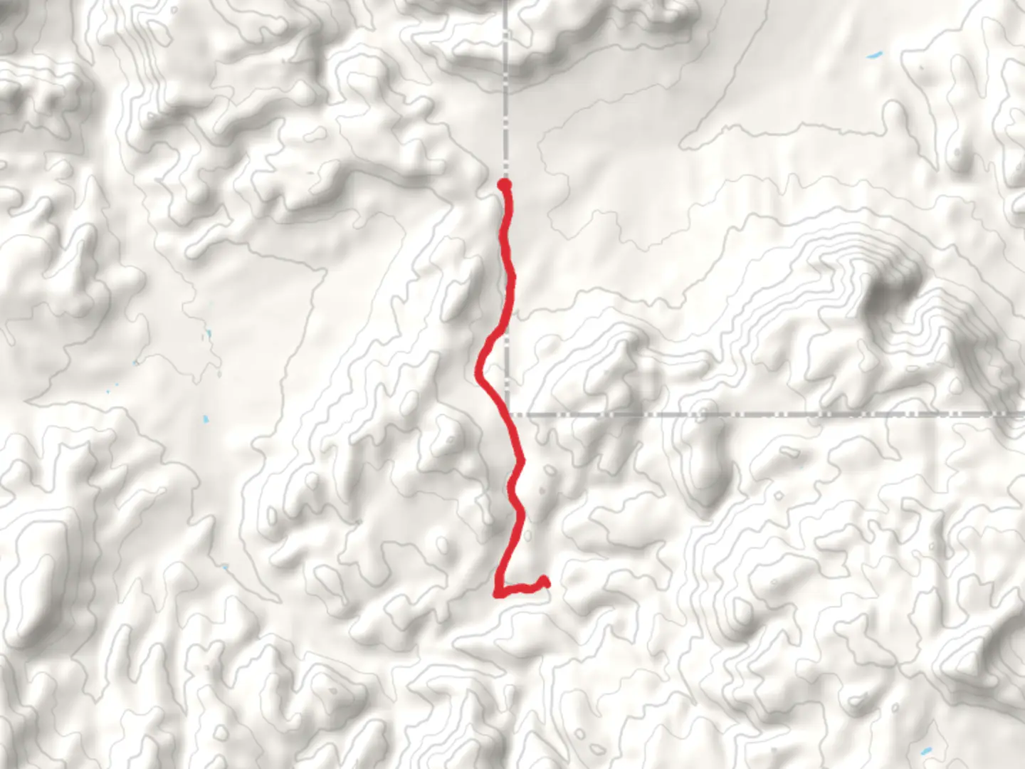
12.4 km
~2 hrs 51 min
236 m
Out and Back
“Explore the scenic, historic Pinto Creek and Pinto Spring trail, offering a moderately challenging 12-kilometer hike with wildlife and rich cultural landmarks.”
Starting near Washington County, Utah, this out-and-back trail spans approximately 12 kilometers (around 7.5 miles) with an elevation gain of about 200 meters (656 feet). The trailhead is accessible by car, and the nearest significant landmark is the town of St. George, Utah. From St. George, head north on I-15, take exit 16 for State Route 9 toward Hurricane, and follow the signs to the trailhead.
Trail Overview
The Pinto Creek and Pinto Spring trail offers a moderately challenging hike through the scenic landscapes of southern Utah. The trail begins with a gentle ascent, gradually increasing in elevation as you move deeper into the wilderness. The first 2 kilometers (1.2 miles) are relatively easy, making it a good warm-up for the more strenuous sections ahead.
Significant Landmarks and Natural Features
As you progress, you'll encounter Pinto Creek, a serene waterway that meanders through the landscape. The creek is a great spot for a short break, and you might even catch sight of some local wildlife, such as mule deer or various bird species. Around the 4-kilometer (2.5-mile) mark, the trail starts to climb more steeply, gaining about 100 meters (328 feet) in elevation over the next kilometer (0.6 miles).
Historical Significance
The region around Pinto Creek has a rich history, with evidence of Native American habitation dating back thousands of years. Keep an eye out for petroglyphs etched into the rocks, a testament to the area's ancient inhabitants. Additionally, the trail passes near old mining sites from the late 19th and early 20th centuries, offering a glimpse into the region's more recent past.
Reaching Pinto Spring
At approximately 6 kilometers (3.7 miles), you'll reach Pinto Spring, the turnaround point of the hike. The spring is a refreshing spot to rest and refill your water bottles. The area around the spring is lush with vegetation, providing a stark contrast to the more arid sections of the trail. The return journey follows the same path, allowing you to enjoy the scenery from a different perspective.
Navigation and Safety
For navigation, it's highly recommended to use the HiiKER app, which provides detailed maps and real-time updates. The trail is well-marked, but having a reliable navigation tool can help ensure you stay on track. Be sure to carry plenty of water, especially during the hotter months, and wear sturdy hiking boots to navigate the rocky terrain.
Wildlife and Flora
The trail is home to a variety of flora and fauna. In spring and early summer, wildflowers bloom along the path, adding vibrant colors to the landscape. You might also encounter reptiles like lizards and snakes, so be cautious and give them space. The diverse ecosystem makes this trail a rewarding experience for nature enthusiasts.
Getting There
If you're using public transport, the nearest major hub is St. George, Utah. From there, you can rent a car or arrange for a shuttle service to the trailhead. The drive from St. George to the trailhead takes about 30 minutes, making it a convenient day trip for those staying in the area.
Prepare adequately, respect the natural environment, and enjoy the beauty and history that the Pinto Creek and Pinto Spring trail has to offer.

What to expect?
Activity types
Comments and Reviews
User comments, reviews and discussions about the Pinto Creek and Pinto Spring, Utah.
4.33
average rating out of 5
12 rating(s)