Download
Preview
Add to list
More
14.0 km
~5 hrs 37 min
1060 m
Loop
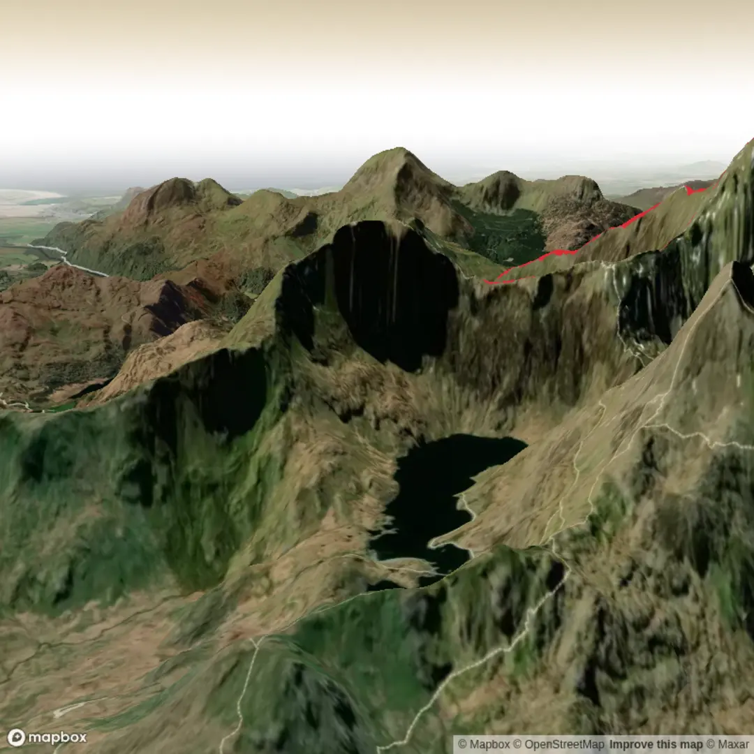
We parked at Nantgwynnt Car Park (£6 all day with toilets available), crossed the road, over the bridge and picked up the path through the woods then handrailed Afon Cwm Llan past the falls to pick up the main Watkin path from The Gladstone rock. The path is well maintained and although this route is one of the more challenging on Snowdon, it's easy going right up to Bwlch Cilau where it levels out. From here (heading NW) the path is not so clear though in good conditions it's pretty straight forward to pick out a good line. At the start of this section the route is a little scrambley but nothing technical and soon turns into well defined steps leading up too the South Ridge. Turning NE here it's the easy up to the summit. After a quick bite to eat and a cup of tea, we left the crowds (trains running, cafe open and queues for the summit) we retraced our steps and headed out along the ridge towards the Rhyd Ddu footpath. After Bwlch Main the path splits with the Rhyd Ddu path heading off south West. An easy mistake to follow this blindly instead of continuing South! We stayed on the Ridge (Cambrian Way) over Allt Maenderyn 709m and on down to Bwlch Cym Llann with the Quarry Tarns clearly visible off too our right. It was then a case of poles out and continue east to rejoin the Watkin parh at Cwm Llan. We decided to cross the river in shallow waters using the stepping stones so to vary the last section of the walk. A very pretty descent down to the foot bridge passing all the waterfalls and plunge pools along the way. Once back over the river there is the option to use an unmarked path towards the farm however, we stayed up on the track that leads back to the main road.


Comments and Reviews
User comments, reviews and discussions about the Snowdon Via the Watkin Path & South Col - Upper Limits UK, Wales.
average rating out of 5
0 rating(s)