Download
Preview
Add to list
More
18.4 km
~5 hrs 29 min
443 m
Loop
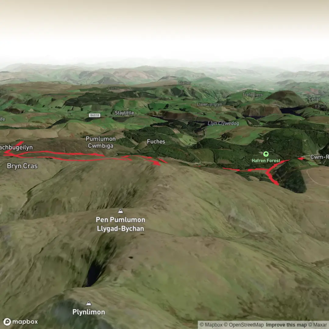
We started this route from The Hafren Forest Car Park which is free and has Port-a-loos (not the best). The initial route is well signed from here up to the Source. Again we pushed on to the the lakes and boundary stone at 618m.
Next we handrailed the boundary out NE to Carnfachbugeilyn at 622m. Doubling back from here, again following the boundary, we headed up onto Pumlumon Arwystli @741m. We havent previously bagged this peak but it does provide a little shelter from the wind so we stopped there for lunch.
Once again, we doubled back to the edge of the forestry block, initially following the boundary then cutting across to the sheep folds and picking out the path back down to the Metrological Station and rejoining the main, well signed path back to the car park past the lead mines.
Here is todays Route Fly Through: The Source of the Severn - Extended! https://www.relive.com/view/v26MdXPdKEO


Comments and Reviews
User comments, reviews and discussions about the Hafron Forest & Source of the River Severn Ext - Upper Limits UK, Wales.
average rating out of 5
0 rating(s)