Download
Preview
Add to list
More
16.2 km
~5 hrs 26 min
692 m
Loop
What a great day!
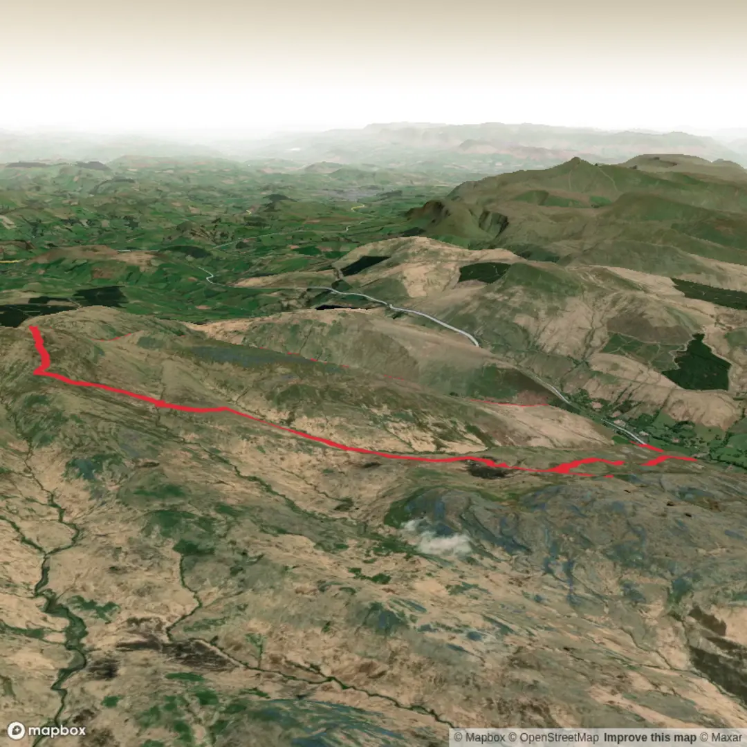
Had a few things to tick off today - Fan Hir, The 700m ring contour beneath Fan Brycheiniog and have a quick look for a lost compass, we did it all but no compass unfortunately.
We started this one from the layby next to St John's Church, Callwen in the Glyntawe Valley.
From here we headed NE up to the Tafarn y Garreg pub, crossing the road and picking up the Beacons Way / Cambrian Way Footpath that took us up over Fan Hir and onto Fan Brycheiniog at 802m, the highest peak in the Black Mountain range and todays highest point which provided amazing views.
It was cross country from here heading off on a bearing to hit the 700m Contour Lynda needed to bag. We had expected this section to be hard work based on a previous route but surprisingly, it was easy going as we picked out a "rock pavement" leading to some fantastic wild camp / wild swim, dipping pools. this section made my day.
Once we had dropped off and hit the byway, it was then a quick additional K to look for a previously lost compass (Not Found) Naomi! A big ask i know.
We were back then on a familiar route except this time once hitting the sheepfolds at Carreg Haffes, we headed North to cross the river and pick up the byway. Not totally clear but we got there, heading down through the Shire Horse Centre to meet the road back up to the church.
Here is todays route fly through: Fan Hir, Fan Brycheiniog, 700m Contour & Some…! https://www.relive.com/view/vr63egyxD8v


Comments and Reviews
User comments, reviews and discussions about the Fan Hir, Brycheiniog, 700m Contour and Some.... - Upper Limits UK, Wales.
average rating out of 5
0 rating(s)