Download
Preview
Add to list
More
40.6 km
~2 day
1556 m
Loop
“Trek through Big Bend's heart, scaling Emory Peak and savoring the solitude of Townsend Point.”
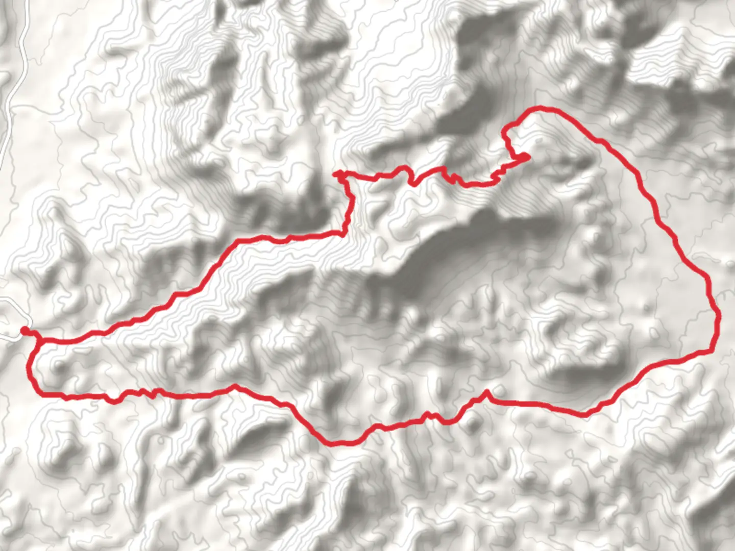
Embarking on the Emory Peak and Townsend Point via Blue Creek Trail, hikers will find themselves exploring the rugged beauty of the Chisos Mountains within Big Bend National Park, near Brewster County, Texas. This loop trail spans approximately 41 kilometers (around 25.5 miles) and challenges adventurers with an elevation gain of about 1500 meters (roughly 4900 feet), offering a medium difficulty rating that caters to those with some hiking experience.Getting to the TrailheadThe trailhead is accessible by car, located near the Chisos Basin Visitor Center, which is a significant landmark within the park. For those relying on public transportation, options are limited due to the remote nature of Big Bend National Park. However, visitors can reach the nearby towns of Alpine or Terlingua by bus and then arrange for a taxi or shuttle service to the park. Once at the Chisos Basin, ample parking is available for those driving.The Journey BeginsSetting out from the trailhead, hikers will traverse a diverse landscape, initially following the Blue Creek Canyon where the trail is flanked by rocky cliffs and a variety of desert plants. The first section of the trail is a gradual ascent, allowing hikers to warm up as they prepare for the more strenuous climb ahead.Ascent to Emory PeakThe climb to Emory Peak, the highest point in the park at 2385 meters (7825 feet), is a highlight of the hike. This segment involves a steep and rocky path, where hikers will gain most of the elevation. The effort is rewarded with panoramic views of the surrounding desert and mountain ranges. It's a popular spot for a break, with many taking the opportunity to enjoy a snack while soaking in the vistas.Wildlife and FloraThroughout the hike, the area's rich biodiversity becomes apparent. Hikers may spot a variety of wildlife, including black bears, mountain lions, and deer. Birdwatchers will be delighted by the presence of Mexican Jays, Colima Warblers, and the occasional Peregrine Falcon. The trail also winds through zones of pinyon pine, oak, and juniper, transitioning into lush forests at higher elevations that starkly contrast the desert below.Historical SignificanceThe region holds historical significance, with evidence of human presence dating back thousands of years. The indigenous Chisos, who the mountains are named after, once inhabited the area. More recently, the park was a ranching territory before becoming protected land. Hikers walking these paths tread on the same ground that has seen a tapestry of human history unfold.Townsend Point and the DescentAfter reaching Emory Peak, the trail continues towards Townsend Point, offering a less frequented path that ensures a sense of solitude and connection with nature. The descent from Townsend Point back to the trailhead is less steep, following the Blue Creek Trail as it meanders through changing landscapes, eventually closing the loop.Preparation and NavigationGiven the trail's length and elevation gain, hikers should be well-prepared with plenty of water, food, and appropriate gear for changing weather conditions. It's advisable to start early to avoid the midday heat and to ensure enough daylight to complete the hike. For navigation, the HiiKER app is a valuable tool, providing detailed maps and trail information to keep hikers on track.ConclusionThe Emory Peak and Townsend Point via Blue Creek Trail offers an immersive experience in one of Texas's most stunning natural areas. With its challenging climbs, diverse ecosystems, and historical richness, it's a journey that rewards the prepared hiker with unforgettable memories and breathtaking views.

What to expect?
Activity types
Comments and Reviews
User comments, reviews and discussions about the Emory Peak and Townsend Point via Blue Creek Trail, Texas.
average rating out of 5
0 rating(s)