Download
3D Flyover
Add to list
More
11.7 km
~2 hrs 28 min
86 m
Loop
“Winding through sun-dappled forests and sparkling shores, Ingmarsö’s trail blends history, wildlife, and archipelago charm.”
Getting There
Travelers can reach Ingmarsö, one of the gems of the Stockholm Archipelago, by taking a Waxholmsbolaget ferry from central Stockholm. Ferries depart from Strömkajen or Vaxholm, with a journey time of about 2–2.5 hours, depending on the route and season. The main ferry dock on Ingmarsö is Ingmarsö Södra, which is the most convenient starting point for the trail. For those arriving by car, parking is available at the mainland ferry terminal in Åsättra on Ljusterö, where you can leave your vehicle before boarding the passenger ferry.
Trail Overview
The Stockholm Archipelago Trail on Ingmarsö covers approximately 12 km (about 7.5 miles) with a gentle elevation gain of around 100 metres (328 feet), making it accessible for most hikers, including families and those seeking a relaxed day out. The route forms a scenic loop, beginning and ending near the Ingmarsö Södra ferry dock, and is well-marked throughout. Navigation is straightforward, but for added confidence and route details, HiiKER provides up-to-date maps and trail information.
Natural Highlights and Wildlife
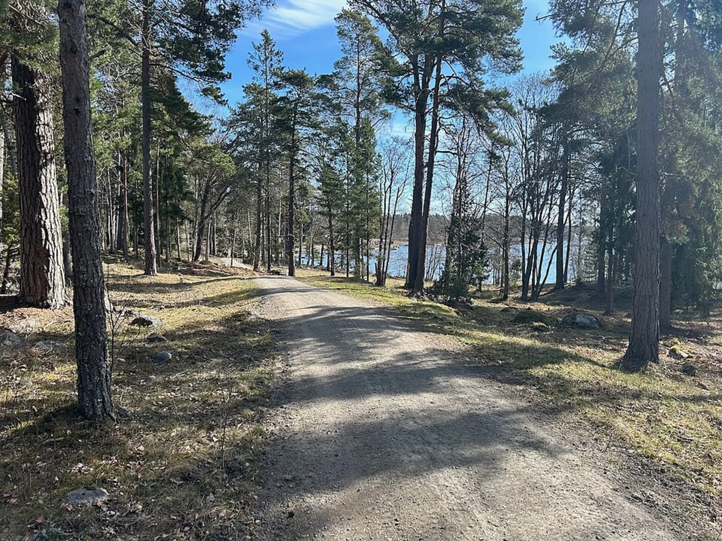
The trail meanders through a classic archipelago landscape, alternating between dense pine and spruce forests, open meadows, and rocky outcrops with sweeping views of the Baltic Sea. In spring and early summer, wildflowers carpet the meadows, and the air is alive with birdsong. Look out for white-tailed eagles soaring overhead, as well as deer and foxes that occasionally cross the quieter sections of the path. The shoreline sections offer opportunities to spot seals basking on rocks and a variety of seabirds, including oystercatchers and terns.
Key Landmarks and Points of Interest
Historic Ingmarsö Village
At around 2 km (1.2 miles) from the start, the trail passes through the heart of Ingmarsö village. Here, you’ll find the historic Ingmarsö Handelsbod, a traditional general store that has served the island community for over a century. The village also features a small museum and several well-preserved wooden houses that reflect the island’s maritime heritage.
Old Ironworks and Cultural Sites
Roughly halfway along the route, at about 6 km (3.7 miles), the trail skirts the site of Ingmarsö’s old ironworks, a reminder of the island’s industrial past. Interpretive signs provide insight into the 19th-century iron production that once played a vital role in the local economy. Nearby, you’ll find remnants of stone foundations and rusted machinery, now overgrown with moss and wildflowers.
Coastal Views and Swimming Spots
The eastern section of the trail hugs the coastline, offering panoramic views across the archipelago’s maze of islands and skerries. Several small beaches and smooth granite rocks provide perfect spots for a picnic or a refreshing swim in the summer months. The water here is typically calm and clear, ideal for a quick dip.
Forest and Wetland Ecosystems
The northern loop of the trail traverses a tranquil forest interspersed with small wetlands and ponds. Boardwalks have been installed over the dampest sections, allowing hikers to observe dragonflies, frogs, and a variety of aquatic plants without disturbing the delicate ecosystem.
Trail Conditions and Preparation
The path is mostly well-maintained, with occasional rocky or root-strewn sections typical of the archipelago terrain. Waterproof hiking shoes are recommended, especially after rain, as some areas can be muddy. There are no steep climbs, and the total elevation gain is gradual, making the route suitable for all fitness levels. Drinking water is available at the village store, but it’s wise to carry your own supply, especially outside the summer season when services may be limited.
Facilities and Services
Public toilets are available near the ferry dock and at the village store. Ingmarsö also has a few cafés and a bakery, open seasonally, where hikers can enjoy local pastries and coffee. Accommodation options include guesthouses and campsites for those wishing to extend their stay and explore more of the archipelago.
Navigation and Safety
The trail is clearly marked, but carrying a digital map on HiiKER is recommended for real-time navigation and to check for any temporary route changes. Mobile coverage is generally good, but can be patchy in dense forest areas. Always check ferry schedules in advance, as service frequency varies by season and day of the week.
Historical Significance
Ingmarsö has a rich history, with evidence of settlement dating back to the Viking Age. The island’s strategic location made it an important stop for traders and fishermen navigating the Baltic. The remnants of the ironworks and the traditional village architecture offer a glimpse into the island’s evolution from a working community to a tranquil retreat for nature lovers.

Surfaces
Unknown
Grass
Wood
Ground
Gravel
Comments and Reviews
User comments, reviews and discussions about the Stockholm Archipelago Trail - Ingmarsö, Sweden.
5.0
average rating out of 5
1 rating(s)