Download
3D Flyover
Add to list
More
8.1 km
~1 hrs 47 min
104 m
Out and Back
“A shaded, gentle out-and-back where laurel-lined woods whisper with streamsong—ideal for a low-stress ramble.”
Laurel Run Trail as an out-and-back is a mellow, family-friendly walk with a steady “woods-and-water” feel: gentle grades, frequent shade, and long stretches where you’ll hear the run before you see it. At roughly 8 km / 5.0 mi round trip with about 100 m / 330 ft of total climbing, it’s well-suited to newer hikers, kids who can handle a couple of hours on foot, and anyone looking for a low-stress half-day outing.
Getting to the trailhead (car + public transport)
Because the hike start is listed only as “near” (no coordinates or town/state provided), I can’t reliably convert the start point to the nearest address or landmark yet. If you share a lon/lat (even just copied from HiiKER), I’ll translate it into the closest known road access point / park entrance / notable landmark and tailor directions precisely.
In the meantime, here’s the practical approach that works for most “Laurel Run Trail” trailheads in the U.S.: - By car: plan to arrive with a buffer for limited parking. Many Laurel Run access points are at small pull-offs or modest lots near a forest road, park road, or a signed trail kiosk. Bring small bills/credit card if the area uses day-use fees. - By public transport: these trailheads are often not directly served by transit. The most realistic option is usually bus/train to the nearest town, then a rideshare/taxi to the trail access. If you tell me the nearest town you’re aiming for (or provide coordinates), I can outline the most workable transit chain.
What the route feels like (grade, tread, and pacing)
From the trail access, expect a short “settling in” stretch where the path narrows and the forest closes around you. The overall elevation gain—about 100 m / 330 ft across the full out-and-back—usually presents as: - Gentle, rolling rises rather than one big climb - A few slightly steeper pitches where the trail steps up and away from the stream corridor - A generally forgiving grade that lets you keep a conversational pace
For timing, many hikers will take 2–3 hours moving time for 8 km / 5.0 mi, plus stops for photos, snack breaks, and streamside pauses.
Navigation and wayfinding (use HiiKER)
Even on easy trails, stream valleys can create confusing “parallel paths” (social trails, fishing access tracks, old woods roads). Keep HiiKER handy and watch for: - Unmarked junctions where a faint side path drops toward the water - Old roadbeds that look inviting but drift away from the main corridor - Turnaround cues: on an out-and-back, it’s easy to overshoot the intended endpoint if the trail continues beyond the “nice spot” most people use as their turn point
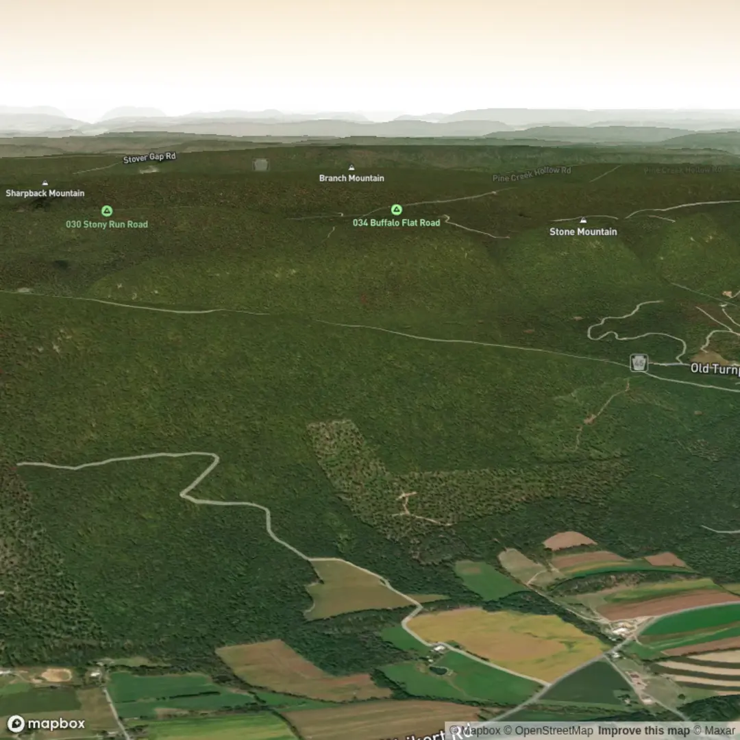
Landmarks, nature, and what to look out for
Because “Laurel Run” typically refers to a stream (“run”) lined with mountain laurel, the signature features tend to be consistent across regions:
- Water features: You’ll likely have repeated views of the run—riffles, small cascades, and calm pools. After rain, the run can be louder and crossings can be trickier.
- Mountain laurel and mixed hardwoods: In many Appalachian and Mid-Atlantic settings, mountain laurel blooms in late spring/early summer, and the understory can be dense. Even outside bloom season, the evergreen leaves create a tunnel-like feel in places.
- Wildlife: Common sightings and signs include songbirds, woodpeckers, squirrels, deer tracks, and amphibians near wet areas. In many eastern forests, black bears are present even if you never see one—store food securely and keep a clean snack routine. Ticks are a bigger day-to-day concern than large wildlife in many Laurel Run areas.
What to watch for on the ground: - Roots and slick rocks near the stream—especially in shaded sections where moisture lingers - Mud pockets in low spots; waterproof footwear helps after wet weather - Stream crossings: even “easy” runs can become ankle-to-knee deep after storms. If the route includes stepping stones or logs, treat them as the crux of the hike.
Distances along the out-and-back (approximate)
Without the exact mapped line, these are the most typical “feel” checkpoints for an 8 km / 5.0 mi out-and-back with modest gain: - 0.0–1.0 km (0.0–0.6 mi): easy warm-up, trail narrows, first consistent stream sounds - 1.0–2.5 km (0.6–1.6 mi): most scenic “run corridor” walking; likely the best photo spots - 2.5–4.0 km (1.6–2.5 mi): gradual climbing to the turnaround area; often where the trail either reaches a clearer landmark (a larger crossing, a small falls, a junction, or a natural “end of the nice part”)
Turn around wherever your planned endpoint is (or where HiiKER indicates the official out-and-back terminus), then retrace your steps.
Historical significance (regionally common context)
Many Laurel Run corridors in the eastern U.S. sit in landscapes shaped by: - Indigenous travel and use of river valleys and ridgelines for seasonal movement, hunting, and trade - 19th–early 20th century logging and extractive industry, which often left behind old grades, cut stumps,

Surfaces
Unpaved
Gravel
Unknown
Wood
Concrete
Asphalt
Comments and Reviews
User comments, reviews and discussions about the Laurel Run Trail Out and Back, Pennsylvania.
average rating out of 5
0 rating(s)