Download
3D Flyover
Add to list
More
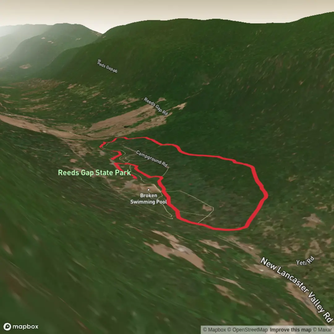
3.5 km
~43 min
19 m
Loop
“A gentle Honey Creek wander in shady woods, where birdsong and sawmill echoes outshine summits.”
This is a short, low-stress walk in a quiet pocket of central Pennsylvania forest, best suited to anyone who wants an easy leg-stretcher with creek sounds, shade, and a bit of local history rather than big views or big climbs. Plan on about 3 km (1.9 mi) total with ~0 m (0 ft) of elevation gain overall (expect only gentle, rolling micro-ups/downs typical of a creek valley).
Getting to the trailhead (car + public transport)
Nearest known address / landmark for the start: the main day-use parking area at Reeds Gap State Park, 1405 New Lancaster Valley Rd, Milroy, PA 17063. (samoinstitute.mn)
- By car: Reeds Gap State Park is reached via local roads off the Milroy area; the state park directions reference approaching via Locke Mills Road and turning onto New Lancaster Valley Road to reach the park. Use HiiKER to confirm the exact turn-by-turn route from your starting point and to pinpoint the correct parking pull-off inside the park. (pa.gov)
- By public transport: There isn’t typically direct transit into small state parks like this. The most realistic approach is to take intercity/regional transit to the Lewistown/Mifflin County area (or another nearby town), then use a taxi/rideshare for the final rural miles to 1405 New Lancaster Valley Rd. If you’re trying to do this car-free, check weekday vs. weekend service carefully and build in extra time for the last-mile connection.
Once you’re parked, look for the main trail signage near the day-use area and orient yourself with HiiKER before you start—cell service can be inconsistent in narrow valleys and forested gaps.
What the walk is like underfoot
Because the route is essentially “easy,” the main variables are surface conditions and water:
- Footing: expect a mix of packed dirt, leaf litter, and short rocky patches. After rain, low spots can hold water and become slick.
- Creek proximity: the park is closely tied to Honey Creek, so you’ll often be walking within earshot of moving water. That’s great for atmosphere, but it also means mud, wet roots, and occasional minor washouts are the most common “hazards,” not steep grades. (en.wikipedia.org)
- Pace/time: most hikers will take 45–75 minutes for ~3 km (1.9 mi) depending on stops for photos, birding, or reading any interpretive signs.
Landmarks, nature, and wildlife to look for
Reeds Gap State Park is small (about 220 acres) and feels intimate—more like a forest preserve with a creek corridor than a sprawling destination park. (en.wikipedia.org)
- Honey Creek corridor: the creek is the signature feature. In warmer months, you’ll notice cooler air and thicker greenery along the watercourse; in spring, look for early wildflowers in the richer soils near the stream.
- Forest character: expect a typical Ridge-and-Valley Pennsylvania woodland—hardwoods with a shaded understory. In fall, leaf cover can hide rocks and roots, so keep your steps deliberate even on “easy” tread.
- Wildlife: you’re in a classic habitat for songbirds, squirrels, and deer. Ticks are a realistic concern in Pennsylvania from spring through fall—use repellent, do a full tick check, and consider light-colored clothing to spot them sooner.
Historical significance (why it’s called “Reeds Gap”)
The park’s name traces back to Edward and Nancy Reed, who established a water-powered sawmill along Honey Creek in the mid-1800s, during the region’s lumber era. That small industrial footprint—using creek power to process timber—fits the landscape you’ll see today: a narrow, wooded gap where water and forest resources shaped local livelihoods. (pa.gov)
Practical planning notes (what to bring / watch out for)
- Water: for 3 km (1.9 mi) you won’t need much, but bring at least a small bottle—especially in humid summer conditions.
- Footwear: light hikers or trail runners are fine; choose something with decent tread if it’s been wet.
- Navigation: even on short trails, confirm the loop/turn points in HiiKER before you start so you don’t accidentally wander onto longer connectors.
- After rain / during thaw: be

Comments and Reviews
User comments, reviews and discussions about the Reeds Gap State Park Trail, Pennsylvania.
average rating out of 5
0 rating(s)