Download
Preview
Add to list
More
1.9 km
~30 min
74 m
Out and Back
“A short, steady climb to breezy overlook rewards—watch footing on steep, slick stretches.”
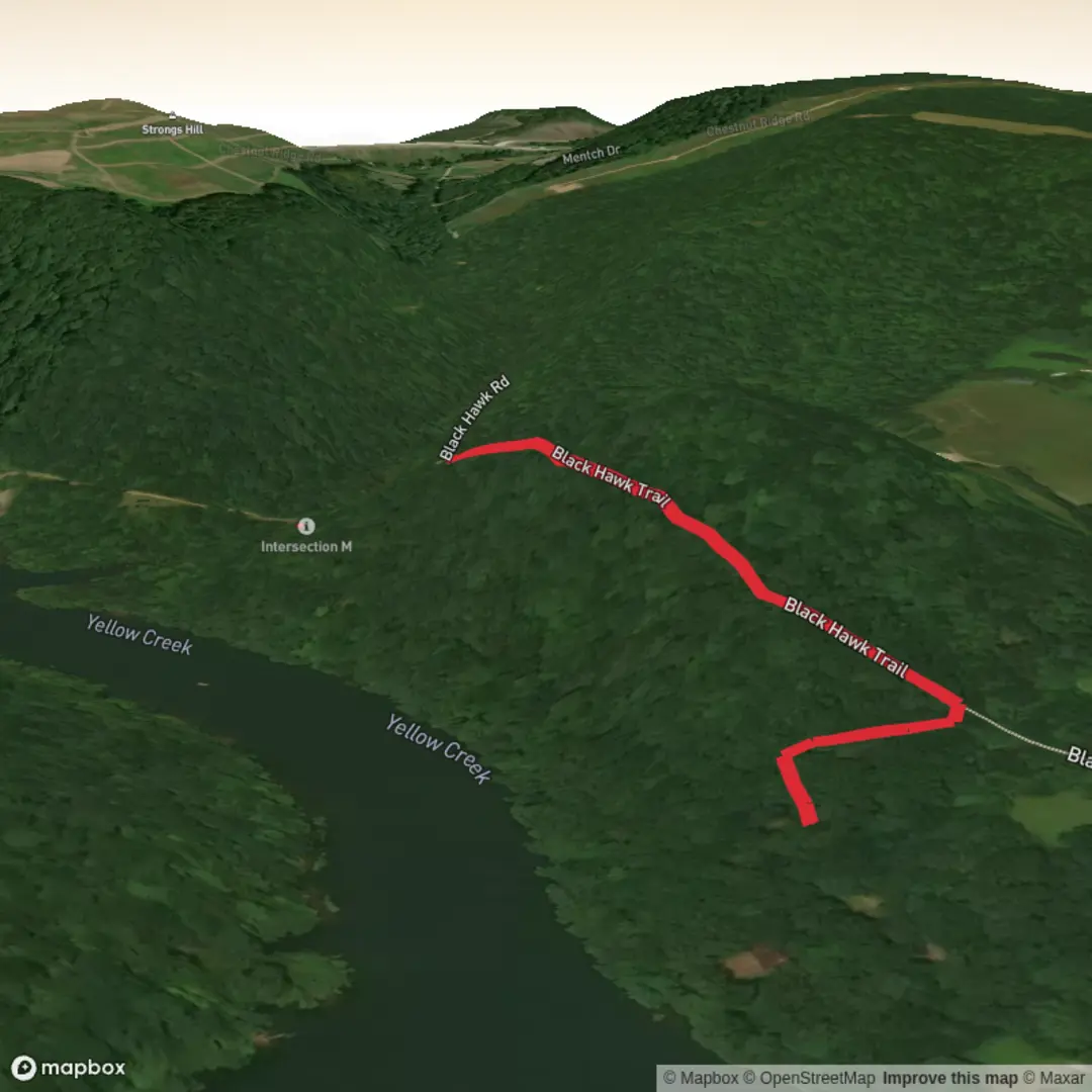
A compact, punchy climb with big-payoff viewpoints, this ~2 km (1.2 mi) outing gains about 100 m (330 ft) in a short span, so it feels “medium” more because of the sustained grade than the distance. Expect a quick transition from trailhead access into a steady uphill, then a gentler return (or a short, steeper finish depending on the exact routing you choose on HiiKER).
Before I can tailor this to the right Black Hawk Trail and convert the start coordinates to a nearby address/landmark, I need one missing piece: where is it (state/park) or the trailhead latitude/longitude? There are multiple “Black Hawk Trail” hikes in the U.S., and the landmarks, wildlife, hazards, and history vary a lot by location.
Send either:
- the trailhead coordinates (lat, lon), or
- the nearest town/park name, plus whether you’re aiming for a loop, out-and-back, or point-to-point.
In the meantime, here’s what you should plan for given your distance/elevation targets, and what I’ll refine once I have the location.
What the hike feels like (grade, footing, pacing)
- Climb profile: 100 m over ~2 km averages ~5% grade, but most trails like this concentrate the climb into one main pitch—so expect short sections that feel closer to 8–12%.
- Footing: commonly a mix of packed dirt and rock/root steps on the steeper bits. After rain, the climb can turn slick—especially where water channels down the trail.
- Time planning: many hikers finish in 45–90 minutes depending on stops and how continuous the climb is. The short distance can be deceptive—budget time for breathers and viewpoints.
Navigation and wayfinding
Use HiiKER to confirm: - the exact trailhead pin (so you don’t start from the wrong parking pullout), - whether the route is a true loop or uses a connector, - and any short spurs to overlooks (often worth it on a climb like this).
What to bring (for a short, steep “medium” hike)
- Footwear: trail shoes with decent tread; light hikers if it’s rocky.
- Water: at least 0.5–1 L (17–34 oz). Short hike, but the climb can be warm work.
- Layers: a light wind layer is useful if the high point is exposed.
- Trekking poles (optional): helpful on the descent if it’s steep or loose.
- Seasonal add-ons: insect repellent in buggy months; traction (microspikes) if you’re in a freeze–thaw region and the trail ices up.
Hazards to look out for
These are common on short viewpoint climbs and I’ll localize them once I know the region: - Erosion ruts and loose gravel on the steepest pitches—watch footing on the way down. - Wet rock / roots in shaded sections. - Cliff-edge exposure near overlooks (if present): keep a buffer, especially in wind or with kids/dogs. - Ticks in brushy edges during warm seasons—long socks help.
Landmarks, nature, and wildlife (to be localized)
On many “Black Hawk” named trails, the highlight is typically one of:
- a ridge or bluff overlook,
- a rock outcrop, or
- a historic/named viewpoint tied to local Indigenous and early-settler history.
Wildlife you might encounter depends heavily on the state/eco-region, but for a medium, short climb you’ll often see:
- songbirds and raptors using updrafts near open slopes,
- deer in forest edges,
- and smaller mammals (squirrels/chipmunks).
If the trail is in bear country, I’ll note food storage and noise etiquette once you confirm the location.
Historical significance (why “Black Hawk” shows up on maps)
Many U.S. places named “Black Hawk” reference Black Hawk (Ma-ka-tai-me-she-kia-kiak), a Sauk leader associated with the Black Hawk War (1832) and broader 19th-century conflict and displacement in the Midwest. Some trails use the name due to local commemorations, nearby geographic features, or historic routes. Once you tell me which Black Hawk Trail you mean, I’ll describe the specific local history accurately (and avoid mixing regions).
Getting to the start (car + public transport)
I can give precise directions only after you confirm the trailhead, but here’s how access usually works for a short 2 km trail:
By car - Most trailheads for hikes this length are reached via a small parking lot or roadside pullout. Arrive early on weekends—short scenic trails fill up fast. - If it’s in a park, expect either a day-use fee or a permit in some regions.
By public transport - If the trail is near a town/city, the usual pattern is bus/train to the nearest transit hub, then a rideshare/taxi for the last few miles/km to the trailhead. - If it’s in a more rural park, public transport may be limited to seasonal shuttles (where available). I’ll confirm options once I know the park/town.
Send the trailhead lat/lon (or the park + nearest town), and I’ll:
- convert the coordinates to the nearest known address or significant landmark,
- describe the route turn-by-turn with **approximate

Surfaces
Dirt
Unknown
Comments and Reviews
User comments, reviews and discussions about the Black Hawk Trail, Pennsylvania.
average rating out of 5
0 rating(s)