Download
3D Flyover
Add to list
More
22.3 km
~4 hrs 28 min
14 m
Point-to-Point
“From castle shadows to wind-swept dikes, this route weaves Dutch history with tranquil water vistas.”
Starting from the charming harbor town of Medemblik, this 22 km (about 13.7 miles) route to Den Oever is a flat, easy walk through the heart of North Holland’s reclaimed landscapes. The trailhead is conveniently located near Medemblik’s historic center, close to the Medemblik railway station and the iconic Radboud Castle, making it accessible by both train and car. Ample parking is available near the harbor, and regular train and bus services connect Medemblik with Hoorn and other major towns.
Leaving Medemblik and Entering the Polders
The first few kilometers lead you out of Medemblik, passing the centuries-old harbor and the medieval Radboud Castle, a reminder of the region’s strategic importance during the Middle Ages. As you leave the town, the route quickly transitions into the vast, open landscapes of the Wieringermeer polder. This area, reclaimed from the Zuiderzee in the early 20th century, is a testament to Dutch engineering and water management. The land here is flat, with virtually no elevation gain—expect a total ascent of less than 10 feet (0 meters), making it accessible for all fitness levels.
Zuidelijk Wiel and Wieringermeerdijk
Around the 8 km (5 mile) mark, you’ll reach Zuidelijk Wiel, a tranquil lake formed by a dike breach during the catastrophic North Sea flood of 1926. The area is now a haven for waterfowl and a great spot for birdwatching, especially in spring and autumn when migratory birds stop over. The trail skirts the lake, offering peaceful views and the chance to spot herons, grebes, and sometimes even spoonbills.
Continuing north, the route follows the Wieringermeerdijk, a long, straight dike that separates the reclaimed polder from the IJsselmeer. This section, stretching for several kilometers, is characterized by wide-open skies, wind turbines, and the rhythmic pattern of drainage canals. The dike itself is a significant feat of engineering, built as part of the Zuiderzee Works that transformed the region from sea to farmland. Along the way, you’ll pass several pumping stations, including the historic Lely pumping station, named after Cornelis Lely, the visionary behind the Zuiderzee project.
Approaching Den Oever
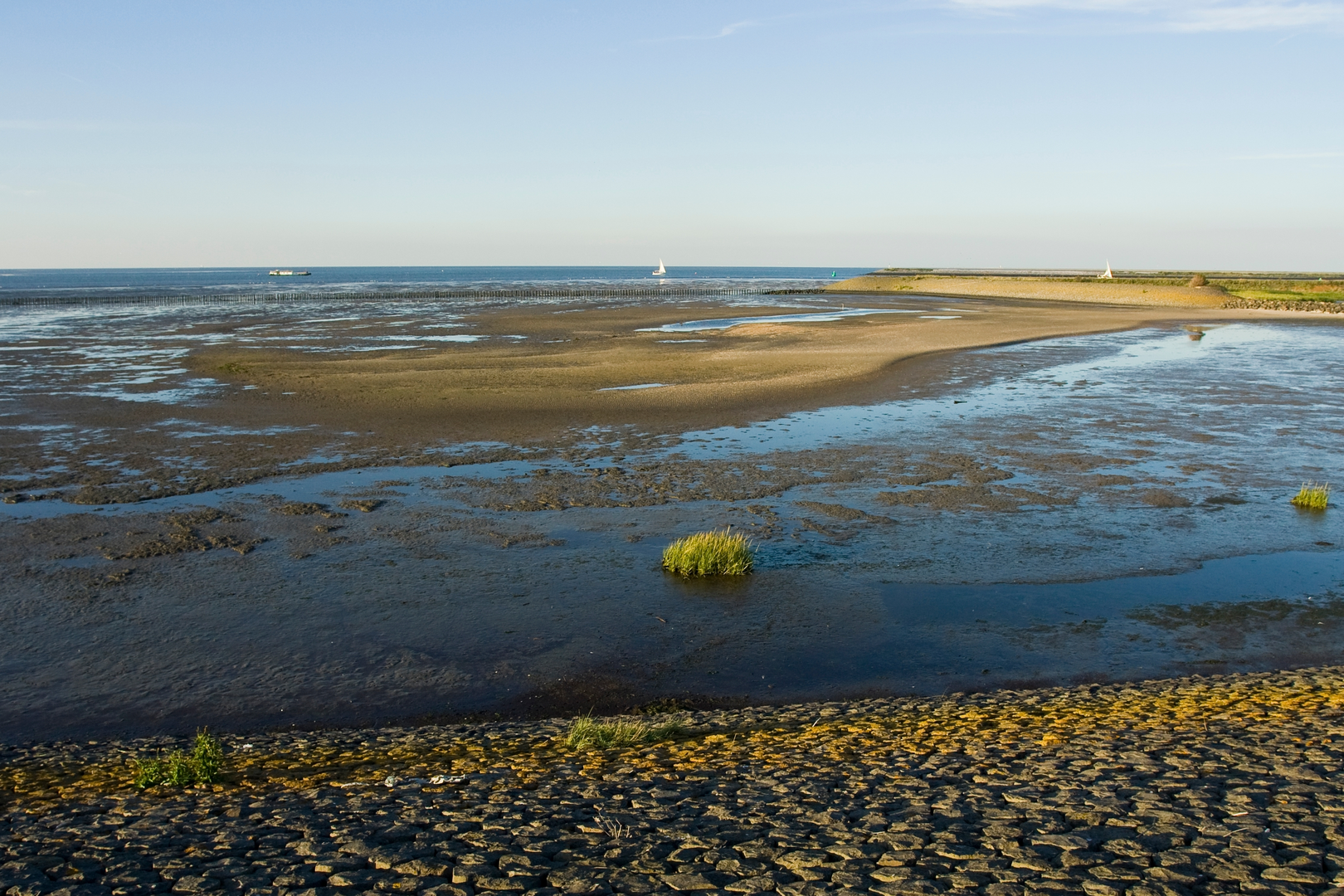
As you approach Den Oever, the landscape shifts again, with the Wadden Sea coming into view. Den Oever sits at the western end of the Afsluitdijk, the massive causeway that closed off the Zuiderzee in 1932 and created the IJsselmeer. The town itself is a working fishing port, and the harbor is a lively place to end your walk. If time allows, visit the Afsluitdijk Wadden Center, which offers interactive exhibits on the history and ecology of the region.
Navigation and Practical Tips
The entire route is well-marked, but for precise navigation and up-to-date trail conditions, use HiiKER. The flat terrain and paved paths make this hike suitable for all ages and abilities, though be prepared for strong winds, especially along the dikes. There are several small villages along the way with cafes and shops, but services can be sparse, so carry enough water and snacks.
Public transport options are available at both ends of the trail. Medemblik is accessible by train and bus, while Den Oever is served by regional buses connecting to larger towns like Hoorn and Alkmaar. If driving, parking is available in both Medemblik and Den Oever near the harbors.
This route offers a unique blend of Dutch history, engineering marvels, and peaceful polder scenery, making it a memorable journey through one of the Netherlands’ most iconic landscapes.

Surfaces
Grass
Unknown
Asphalt
Concrete
Ground
Comments and Reviews
User comments, reviews and discussions about the Medemblik to Den Oever via Zuidelijk Wiel and Wieringermeerdijk, Netherlands.
average rating out of 5
0 rating(s)