Download
3D Flyover
Add to list
More
17.1 km
~3 hrs 26 min
6 m
Loop
“Meandering through wildflower meadows and storied borderlands, this loop promises a tapestry of nature and history.”
Starting from the outskirts of the village of Kanne, just south of Maastricht and close to the Belgian-Dutch border, this loop trail covers approximately 17 km (about 10.5 miles) with virtually no elevation gain, making it accessible for most walkers. The trailhead is conveniently located near the historic Château Neercanne, a recognizable landmark and a good reference point for arrival.
Getting There
For those arriving by public transport, Maastricht is the nearest major city, well-connected by train. From Maastricht station, local buses head towards Kanne, with stops within walking distance of the trailhead. If driving, parking is available near Château Neercanne or in the village of Kanne itself, both offering easy access to the start of the loop.
Trail Overview and Navigation
The route is a gentle circuit through the rolling countryside of the Belgian province of Limburg, weaving through open fields, small woodlands, and rural hamlets. With an elevation gain of around 0 metres (0 feet), the path is flat and well-suited for those seeking a leisurely day out. Navigation is straightforward, but for precise wayfinding and up-to-date trail conditions, HiiKER is the recommended tool.
Landmarks and Points of Interest
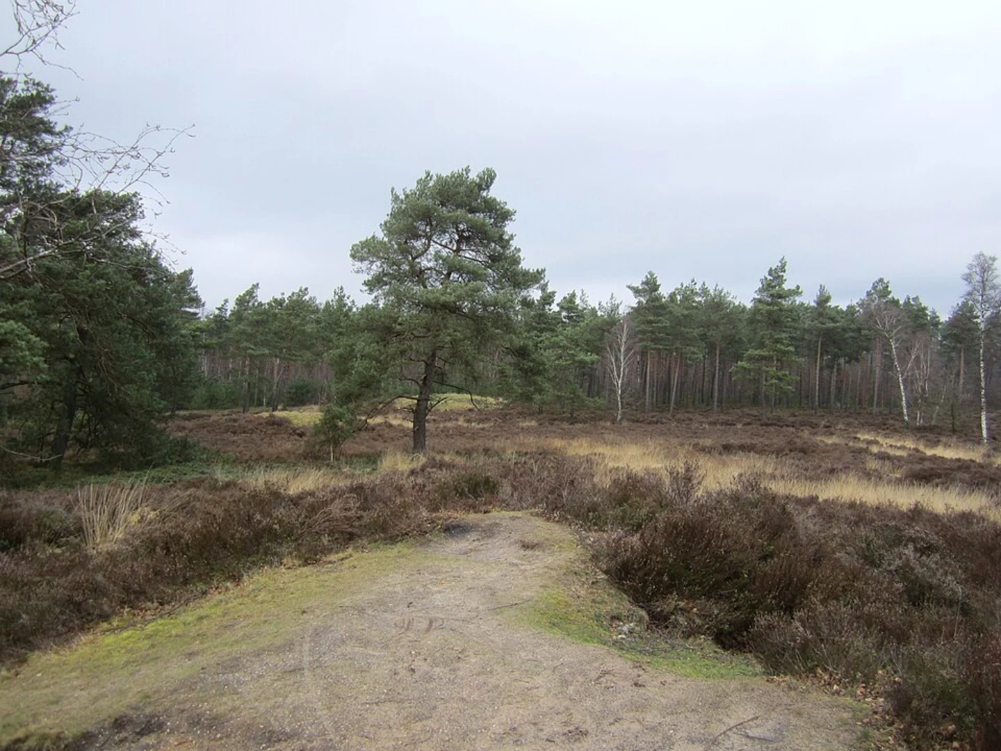
- Galgenberg: Early in the loop, you’ll pass Galgenberg, a low hill whose name translates to “Gallows Hill.” Historically, such sites were used for public executions, and while no structures remain, the area’s somber past adds a layer of intrigue to the landscape.
- Putjesberg: Continuing on, the trail skirts Putjesberg, a gentle rise surrounded by farmland. This area is known for its chalk grasslands, which in spring and summer are dotted with wildflowers and attract a variety of butterflies and insects.
- Rode Hoek: The route’s namesake, Rode Hoek, is a quiet rural corner characterized by its red clay soils and patchwork of fields. Here, you’ll find traditional Belgian farmhouses and may spot kestrels or buzzards circling overhead.
Nature and Wildlife
The region is part of the Voerstreek, known for its biodiversity. Expect to see hedgerows alive with songbirds, and in the wooded sections, roe deer are occasionally spotted at dawn or dusk. The flat terrain is interspersed with small streams and ponds, supporting frogs and dragonflies in warmer months.
Historical Context
This borderland area has a rich history, shaped by centuries of shifting frontiers between Belgium and the Netherlands. The proximity to Maastricht means the trail passes near remnants of old fortifications and WWII bunkers, silent witnesses to the region’s strategic importance. The limestone caves near Château Neercanne were used as shelters during wartime and are a notable feature for those interested in local history.
Trail Conditions and Preparation
The path is mostly on well-maintained farm tracks and minor roads, with occasional muddy patches after rain. Standard walking shoes or lightweight boots are sufficient. There are several small villages along the route where you can find cafés and bakeries, but carrying water and snacks is advisable, especially outside of peak tourist season when some establishments may be closed.
Planning Tips
Cell coverage is generally good, but downloading the route on HiiKER before setting out is recommended. The loop is suitable for families and those new to hiking, with plenty of opportunities to shorten the walk by taking connecting paths back to Kanne if needed. The open landscape offers little shade, so sun protection is important in summer months.

Surfaces
Unknown
Gravel
Grass
Unpaved
Asphalt
Comments and Reviews
User comments, reviews and discussions about the Galgenberg, Putjesberg and Rode Hoek Loop, Netherlands.
average rating out of 5
0 rating(s)