Download
3D Flyover
Add to list
More
35.4 km
~7 hrs 7 min
30 m
Multi-Day
“A long, level wander linking ponds, canals, and woodland—wind, mud, and distance set the tone.”
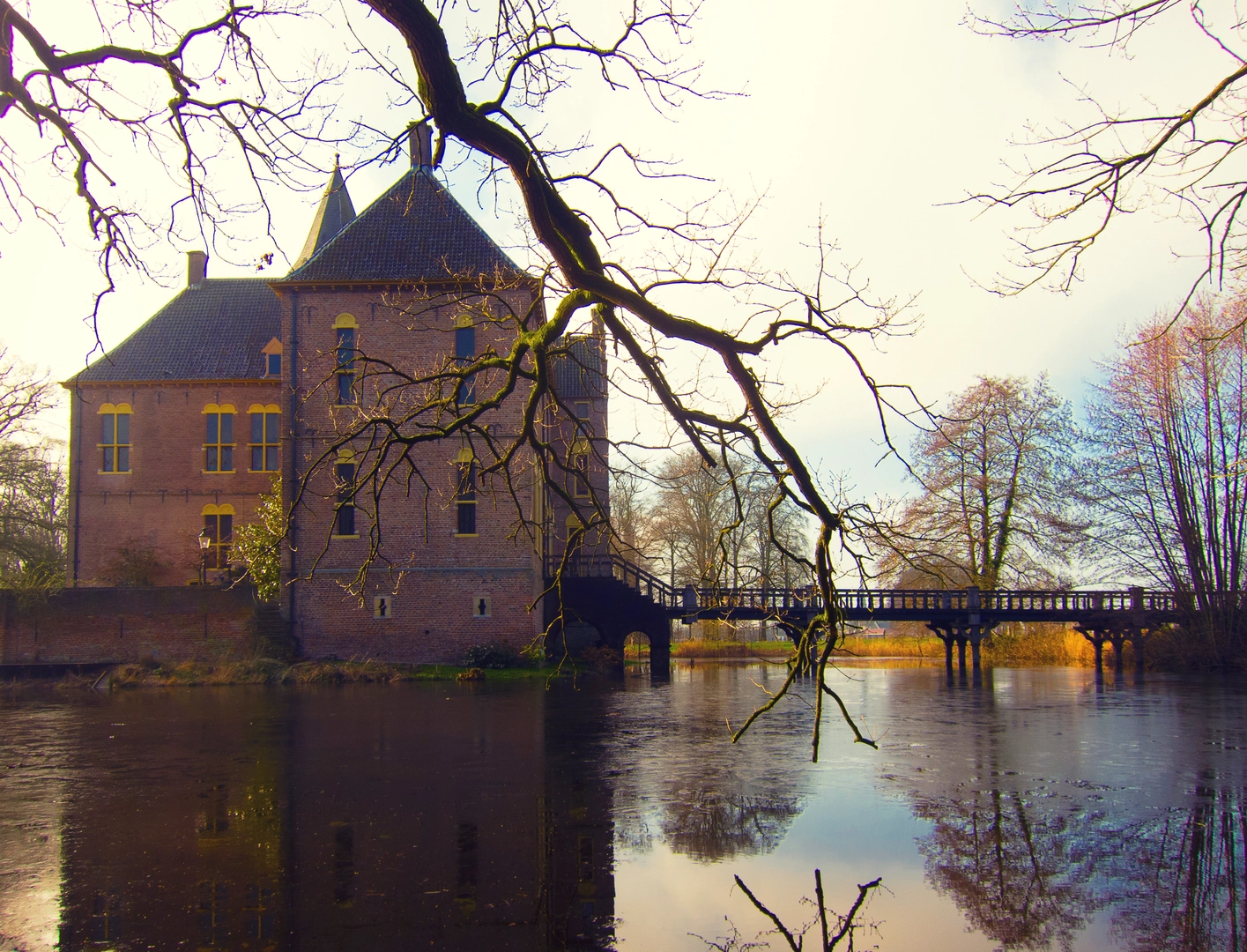
This is a long, low-commitment day out across flat lowland terrain—about 35 km (21.7 mi) with roughly 0 m (0 ft) of climbing—linking a chain of ponds, canals, and woodland edges. Expect easy gradients throughout, but don’t underestimate the time-on-feet: on level ground the challenge is usually distance, wind exposure, and underfoot conditions (mud, sand, or slick towpaths), not hills.
Because your start point is listed only as “near” (no coordinates or town), I can’t reliably convert a lon/lat to a nearby address or landmark yet. If you share the start coordinates (or the nearest village/city), I’ll pin it to the closest recognizable trailhead/parking area and tailor the transport directions precisely.
Getting to the start (car + public transport)
By car - Plan for a small public car park near a waterside access point (common around pond complexes and canal crossings). In this landscape, parking is often at recreation areas, fishing access points, or nature reserve entrances rather than a single “trailhead.” - Bring a backup option: if a lot is full, the next legal parking is often 1–3 km (0.6–1.9 mi) away along the same access road.
By public transport - These flatland loop hikes are typically easiest via a regional rail station in the nearest town, then a local bus toward the water/woodland fringe, finishing with a 1–4 km (0.6–2.5 mi) walk-in. - If buses are infrequent, a practical approach is rail to the nearest hub + taxi for the last 5–10 km (3–6 mi), then hike the full loop back to the same point.
If you tell me the nearest town (or provide coordinates), I’ll specify the exact station/bus stop and the most efficient walk-in route.
You’ll likely begin on broad, level paths—often compacted gravel, sandy track, or towpath—where pace is steady and navigation is straightforward. Early on, settle into a sustainable rhythm: for most hikers, 35 km (21.7 mi) on flat ground still means 7–10 hours moving time depending on breaks, surface, and wind.
As the loop threads between water bodies (the “Melder,” “Zwarte,” and “Galgengoor” names strongly suggest a sequence of ponds/meres), you can expect frequent transitions:
- Open water edges with reedbeds and willow/alder margins
- Straight canal-like sections where wind can be a factor
- Woodland belts that provide shelter and firmer footing in places
- Occasional dikes/embankments that are still essentially flat but can be narrow
Landmarks, landscape, and what to notice
Ponds and wetland margins - Look for reedbeds, sedge, and wet meadow habitat. These areas are often managed for biodiversity and water quality, so you may pass boardwalk-like sections, fishing platforms, or signed conservation zones. - Wildlife is typically most active at the edges: scan quietly for waterfowl (ducks, geese, swans), herons/egrets, and small birds working the reeds. In calm weather, you may also notice dragonflies and other insects concentrated near sheltered bays.
Woodland and heath-like patches - Where the route leaves the immediate shoreline, it often enters mixed lowland woodland (oak/birch/pine depending on local soils and management). Underfoot can shift to sandier track that drains well after rain. - In drier stretches, you may see heath or scrub species and more open sightlines.
Human-made waterworks - Flat regions with multiple ponds commonly have sluices, weirs, culverts, and drainage channels. These are useful navigation anchors and also explain why the elevation gain stays near zero: the landscape is engineered to control water levels.
Underfoot conditions and seasonal considerations
Even with “easy” terrain, surfaces can be surprisingly variable over 35 km (21.7 mi):
- Towpaths/embankments: usually fast, but can be slick after rain and rutted by bikes or maintenance vehicles.
- Forest tracks: can be soft sand (slower, more tiring) or muddy in shaded sections.
- Wet edges: expect puddling and occasional short boggy patches where water overtops the path.
Seasonal notes: - After heavy rain: the flattest low points can hold water for days; waterproof footwear or quick-drying trail shoes plus spare socks can make the day far more comfortable. - Warm months: insects can be intense near still water—consider long sleeves and repellent. - Wind: open water corridors can feel much colder than the air temperature suggests; pack a light shell even on mild days.
Navigation and wayfinding (using HiiKER)
This kind of loop is usually well-served by a network of intersecting paths, which is great for flexibility but can create “wrong turn” risk at frequent junctions. Use HiiKER to: - Confirm you’re taking the correct side of each pond/canal at major splits - Watch for short connector segments between water bodies (easy to miss if signage is sparse) - Identify bailout points where you can shorten the loop (often near roads, bridges, or recreation areas)
A practical strategy is to mentally break the day into **three ~11–12 km (6.8–

Surfaces
Unknown
Asphalt
Sand
Cobblestone
Ground
Wood
Unpaved
Concrete
Grass
Comments and Reviews
User comments, reviews and discussions about the Melder, Zwarte and Galgengoor Loop, Netherlands.
average rating out of 5
0 rating(s)