Download
3D Flyover
Add to list
More
6.8 km
~1 hrs 21 min
0 m
Loop
“A gentle polder loop of big skies, whispering reeds, and Fort Ruigenhoek’s hidden waterline history.”
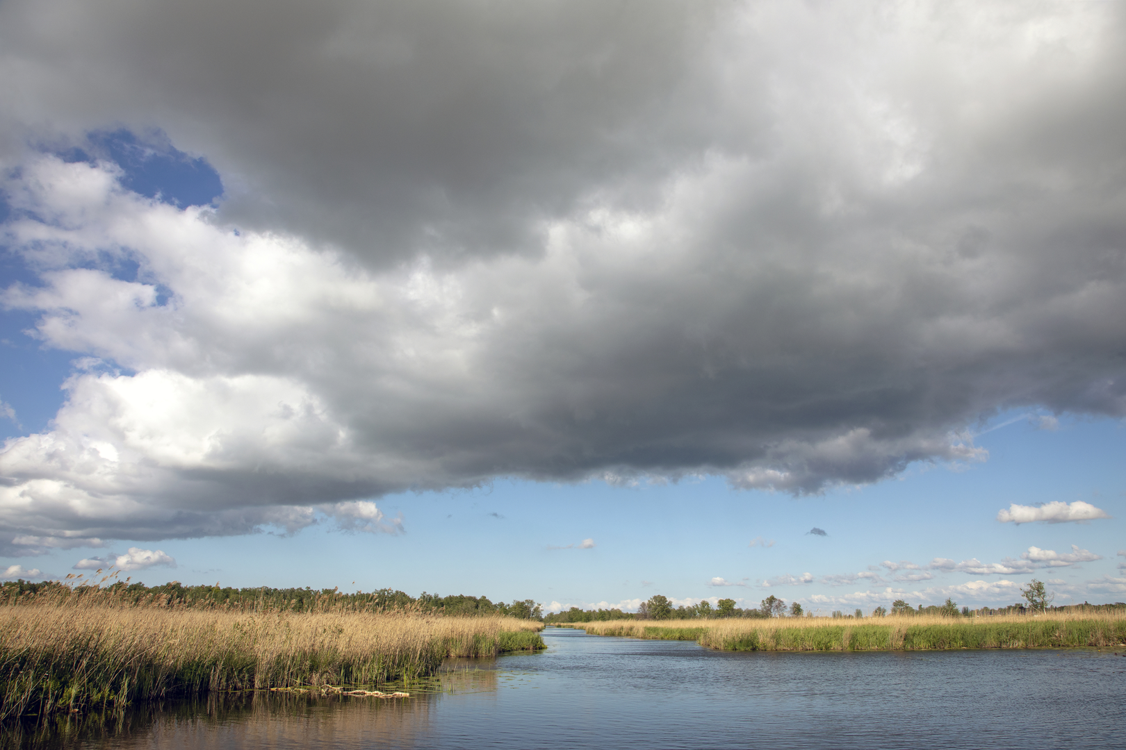
This easy loop wanders through the flat, open wetlands of the Ruigenhoekse Polder on the north edge of Utrecht, linking wide dike paths, reed-lined ditches, and the tree-hidden earthworks of Fort Ruigenhoek. Expect a mostly level walk of about 7 km (4.3 miles) with roughly 0 m (0 ft) of climbing—more about big skies, water, and history than hills.
Nearest landmark / start area: the most straightforward “pin” for this walk is Fort Ruigenhoek, Ruigenhoeksedijk 125A, 3737 MR Groenekan (near Utrecht). (ontdek-utrecht.nl)
Getting to the start (car + public transport)
- By car: Navigate to Ruigenhoeksedijk 125A, Groenekan (Fort Ruigenhoek). Parking close to the fort can be limited and roadside parking may be restricted at times, so be prepared to park a little farther away and walk in on the dike paths. (tweetakt.nl)
- By public transport (from Utrecht): A common approach is bus to the Utrecht Overvecht area and then a walk of roughly 20 minutes to the fort area (routes and stop names can vary by operator and timetable). Check the latest routing in your transit planner before you go. (tweetakt.nl)
- By bike: From central Utrecht it’s often a quick ride (roughly 15–20 minutes) on cycle-friendly roads and paths to the fort area. (tweetakt.nl)
Once you’re at the fort/dike, open HiiKER and follow the loop line closely—this landscape has lots of parallel tracks on dikes that can look interchangeable.
What the route feels like underfoot
Most of the loop is on wide, compacted paths and dike-top tracks with short sections that can feel softer near field edges. Because the polder is managed for water, conditions change with season: - After rain, expect muddy patches and puddling in low spots. - In colder months, exposed dikes can be windy and feel much colder than the city. - In summer, the open stretches offer little shade, so sun protection matters even on a short 7 km (4.3 mi) walk.
Footwear: light hiking shoes are usually enough in dry spells; after wet weather, water-resistant shoes make the walk more comfortable.
Landmarks and the “why here?” history
The standout feature is Fort Ruigenhoek, a late-19th-century fortification built to control access along the Ruigenhoekse Dijk and defend Utrecht as part of the Nieuwe Hollandse Waterlinie (New Dutch Waterline)—a defensive system that used controlled flooding (inundation) to slow or stop invading armies. The fort dates to around 1869–1870 and formed part of the second ring of defenses around Utrecht. (hollandsewaterlinies.nl)
As you pass, look for the fort’s characteristic layout: a large, squared earthwork with bastion-like corners and a moat-like water barrier. In the mobilization periods around World War I and leading up to World War II, the site saw concrete-era upgrades such as trenches, shelters, observation posts, and machine-gun positions—details that help explain the mix of older earthworks and later hardened structures. (ontdek-utrecht.nl)
Even if the interior isn’t open when you visit, the exterior setting is part of the experience: the fort sits amid dense trees and undergrowth, contrasting sharply with the open polder fields around it. (visitutrechtregion.com)
Nature and wildlife to watch for
This is classic lowland polder scenery: straight drainage ditches, reed beds, wet meadows, and long sightlines. Wildlife varies by season, but you’ll often notice: - Waterfowl (ducks, geese) using the ditches and flooded margins - Marsh and meadow birds in open fields and reed edges - Small mammals moving through the rough grass and scrub near the fort’s wooded perimeter
Bring binoculars if you like birding—the flat terrain makes scanning easy, and the dikes give you a slightly raised viewpoint without any real “climb.”
Practical things to look out for
- Wind exposure: the dike tops can be breezy; pack a light shell even on mild days.
- Narrow dike edges and water: many paths run beside ditches—watch footing, especially with kids or if it’s slick.
- Shared-use paths: expect cyclists and local walkers; keep right and be predictable when

Surfaces
Asphalt
Grass
Unknown
Concrete
Gravel
Comments and Reviews
User comments, reviews and discussions about the Polder De gagel and Fort Ruigenhoek Loop, Netherlands.
average rating out of 5
0 rating(s)