Download
3D Flyover
Add to list
More
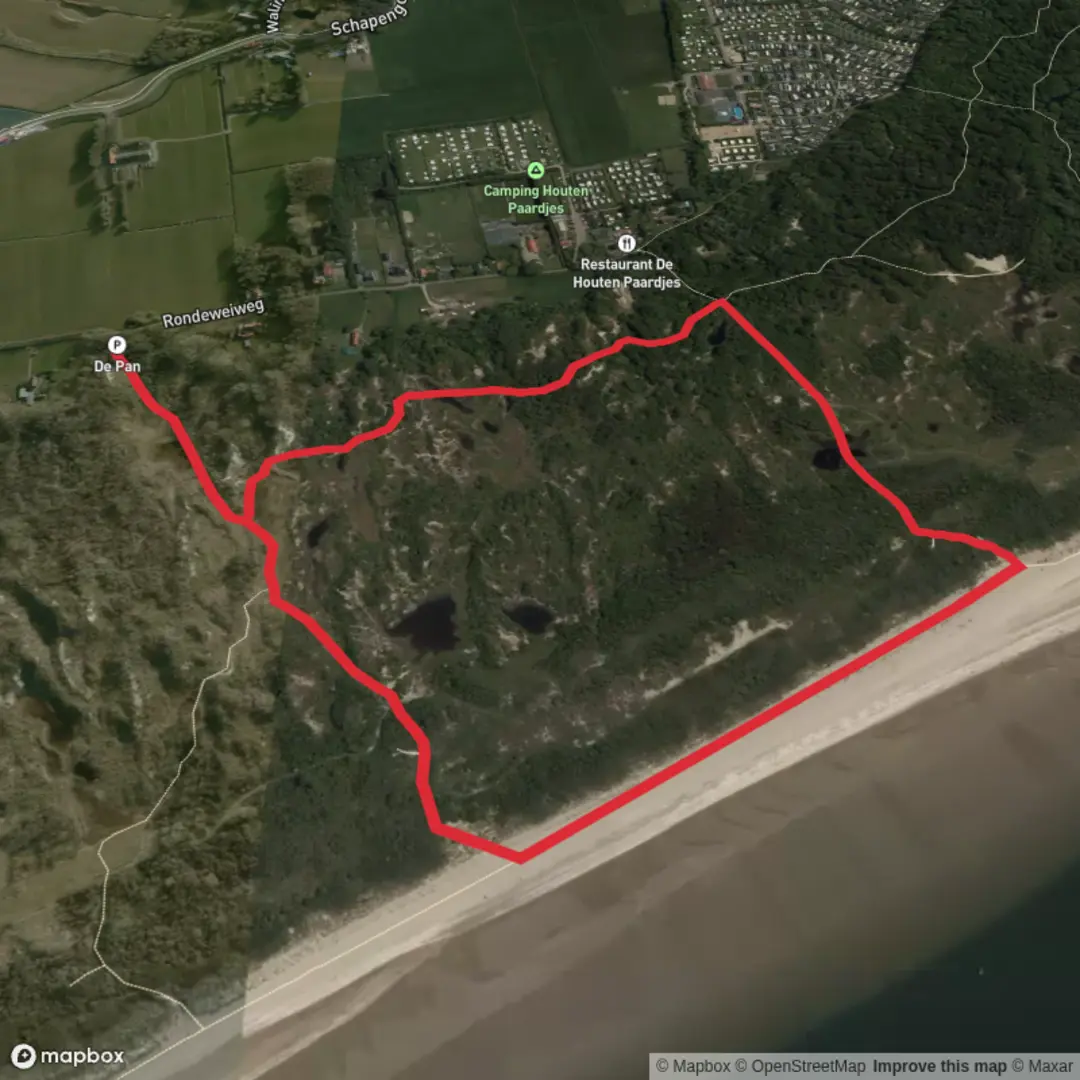
2.8 km
~33 min
0 m
Loop
“A breezy, mostly flat waterside loop with wide views and an observation point—watch for slick patches after rain.”
This is a short, mostly flat loop of about 3 km (1.9 mi) with essentially 0 m (0 ft) of climbing—ideal for a low-effort walk where the main “highlights” are water, open views, and a dedicated observation point rather than elevation or rugged terrain. Expect easy footing overall, with a few spots that can feel slick or soft underfoot depending on recent rain.
Getting to the start (car + public transport)
I’m missing the key location detail: your “Hike head: near …” line is blank, and I don’t have the loop’s coordinates. If you share either (a) a town/region name, or (b) the start lon/lat, I can convert it to the nearest recognizable address/landmark and give precise arrival options.
In the meantime, here’s how this type of short Dutch/Belgian-style loop is typically approached: - By car: aim for the nearest signed parking area by the bridge/entry point (often a small pull-in or a marked lot near a canal/river crossing). For a 3 km loop, you’ll want parking within 0.3–0.8 km (0.2–0.5 mi) of the bridge so you’re not doubling the walk. - By public transport: the most reliable plan is usually train to the nearest town station, then a local bus toward the waterside/outer neighborhoods, finishing with a 5–20 minute walk (0.4–1.6 km / 0.25–1.0 mi) to the trailhead. Once you tell me the nearest town or coordinates, I’ll map the cleanest connection.
What the route feels like underfoot
Because the elevation gain is effectively nil, the “difficulty” comes down to surface conditions: - Paved or compacted path sections near the bridge and along maintained embankments. - Gravel, grass, or dirt as you approach the observation point and any quieter edges of the loop. - After wet weather, watch for: - muddy pinch points where foot traffic narrows the path, - slick algae on hard surfaces near water, - soft shoulders at the edge of ditches/canals.
If you’re using navigation, load the loop in HiiKER and keep an eye on any short spurs that lead to viewpoints—these are easy to miss on flat terrain where everything looks similar.
Landmarks and the “bridge + observation point” rhythm
Even without steep climbs, this loop stays engaging because it’s structured around two focal features:
Kakelenbrug (the bridge): likely the most obvious man-made landmark and your best “reset point” for orientation. Bridges in lowland water-management landscapes often sit at junctions of paths, embankments, and access tracks—so it’s also where wrong turns most commonly happen. Expect a brief moment of exposure to wind here, especially if the bridge crosses open water or a canal corridor.
Observatiepunt (observation point): typically a small platform, raised bank, or designated viewing spot intended for scanning wetlands, open fields, or water channels. Plan to slow down here; it’s the natural place to pause for wildlife viewing and photos. If it’s a constructed platform, it may have steps/ramps and can be slippery in damp or frosty conditions.
Nature and wildlife to look for
On flat loops centered on bridges and observation points, the surrounding habitat is often a mix of wetland edges, reedbeds, drainage channels, and open pasture/fields. What to watch for:
- Birdlife: the observation point is usually there for a reason—expect a good chance of seeing waterfowl (ducks, geese, swans), waders along muddy margins, and raptors hunting over open ground. Early morning and late afternoon are typically best for activity.
- Small mammals: along reedier edges you may spot signs of muskrat/nutria-type activity (bank holes, chewed vegetation) depending on the region.
- Seasonal insects: in warmer months, bring protection for mosquitoes/gnats, especially if the route runs close to still water or sheltered reeds.
Keep dogs close if allowed—ground-nesting birds and sensitive wetland margins are common around designated observation areas.
Historical significance (what this landscape usually represents)
Routes like this often sit in landscapes shaped by water management and land reclamation—canals, ditches, embankments, and bridges are not just scenery but infrastructure. Even a small bridge can mark: - an older crossing point between settlements or farm parcels, - a boundary between managed water levels (polders/fields) and a main canal, - or a corridor used historically for transport of goods by barge or cart along towpaths.
If you tell me the exact municipality/coordinates, I can tie this to the specific local history (e.g., named waterways, former peat extraction areas, wartime lines, or protected nature reserve designations).
Practical planning for an easy 3 km (1.9 mi) loop
- Time: most hikers will take 40–70 minutes depending on stops at the observation point.
- Footwear: light hikers or trail runners are fine; choose something with grip if it’s been wet.
- Wind/rain: open lowland routes can feel colder than expected—pack a light shell even for a short walk.
- Safety near water: edges can be undercut; give ditches/canals a wide berth, especially with kids.
If

Surfaces
Unknown
Sand
Comments and Reviews
User comments, reviews and discussions about the Kakelenbrug and Observatiepunt Loop, Netherlands.
average rating out of 5
0 rating(s)