Download
3D Flyover
Add to list
More
7.7 km
~1 hrs 46 min
136 m
Loop
“Winding through peaceful woodlands and historic hills, this scenic loop brims with nature, vistas, and echoes of the past.”
Starting from the vicinity of Molenweg, a quiet road near the village of Groesbeek in the Gelderland province of the Netherlands, this 8 km (about 5 miles) loop offers a gentle introduction to the rolling landscapes of the Dutch-German border region. The trailhead is easily accessible by car, with parking available near Molenweg, or by public transport—buses from Nijmegen stop at Groesbeek, from where it’s a short walk to the start.
Getting Oriented and Early Landmarks
The route begins on the edge of Groesbeek, a village known for its World War II history and lush, undulating countryside. The first section follows Molenweg, a rural lane flanked by fields and scattered farmhouses. Early on, you’ll pass close to the historic windmill “De Zuidmolen,” a local landmark that dates back to the 19th century and is sometimes open for visits. The path soon leaves the road, entering a patchwork of meadows and small woodlands.
Woodlands, Wildlife, and Scenic Vistas
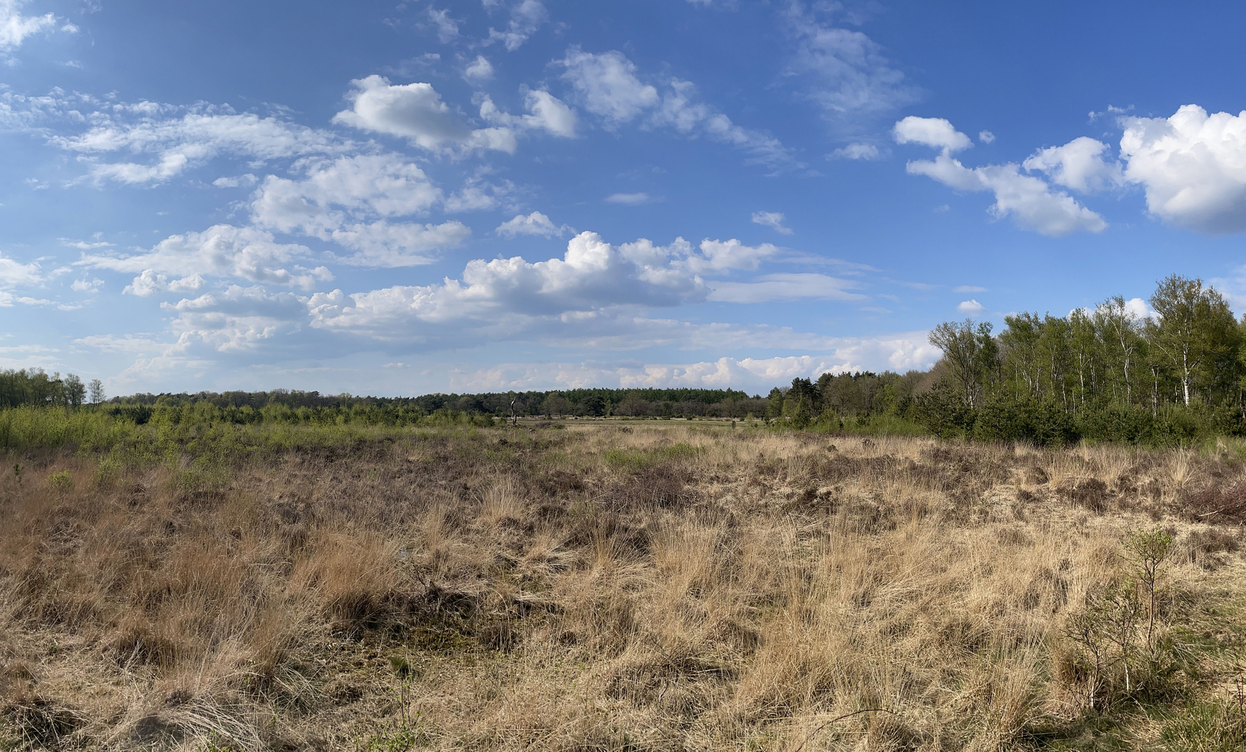
After about 2 km (1.2 miles), the trail gently ascends into the Hettenheuvel area, a low hill that rises about 100 metres (328 feet) above sea level. This is one of the highest points in the region, offering panoramic views over the Groesbeek valley and, on clear days, into Germany. The mixed deciduous forests here are home to roe deer, foxes, and a variety of woodland birds—keep an eye out for woodpeckers and nuthatches flitting among the beech and oak trees.
The trail undulates through the forest, with soft leaf litter underfoot and occasional clearings where wildflowers bloom in spring and summer. At around the halfway mark, you’ll cross a small stream and pass through a section of heathland, where heather and gorse provide habitat for butterflies and lizards.
Historical Significance and Points of Interest
Groesbeek and its surroundings were the scene of intense fighting during Operation Market Garden in 1944. Several information panels along the route describe the area’s wartime history, and you may spot remnants of old trenches or memorial markers. The region’s strategic importance is underscored by its proximity to the German border, just a few kilometers to the east.
Navigation and Trail Conditions
The path is well-marked, but carrying a digital map on HiiKER is recommended for peace of mind, especially where the trail crosses smaller forest tracks. The terrain is mostly easy, with wide, well-maintained paths and only gentle inclines. Expect some muddy patches after rain, particularly in the lower-lying meadows.
Returning to Groesbeek
The final stretch descends gradually back toward Groesbeek, passing through orchards and open fields. In late summer and autumn, the fruit trees are heavy with apples and pears, and local farm shops sometimes offer fresh produce. The route loops back to Molenweg, where you’ll find your starting point and easy access to local amenities or onward transport.

Surfaces
Unknown
Sand
Ground
Comments and Reviews
User comments, reviews and discussions about the Hettenheuvel via Molen Weg, Netherlands.
average rating out of 5
0 rating(s)