Download
3D Flyover
Add to list
More
13.2 km
~2 hrs 39 min
7 m
Loop
“Wander through blooming heather, tranquil ponds, and centuries-old fields on this gentle Gelderland loop.”
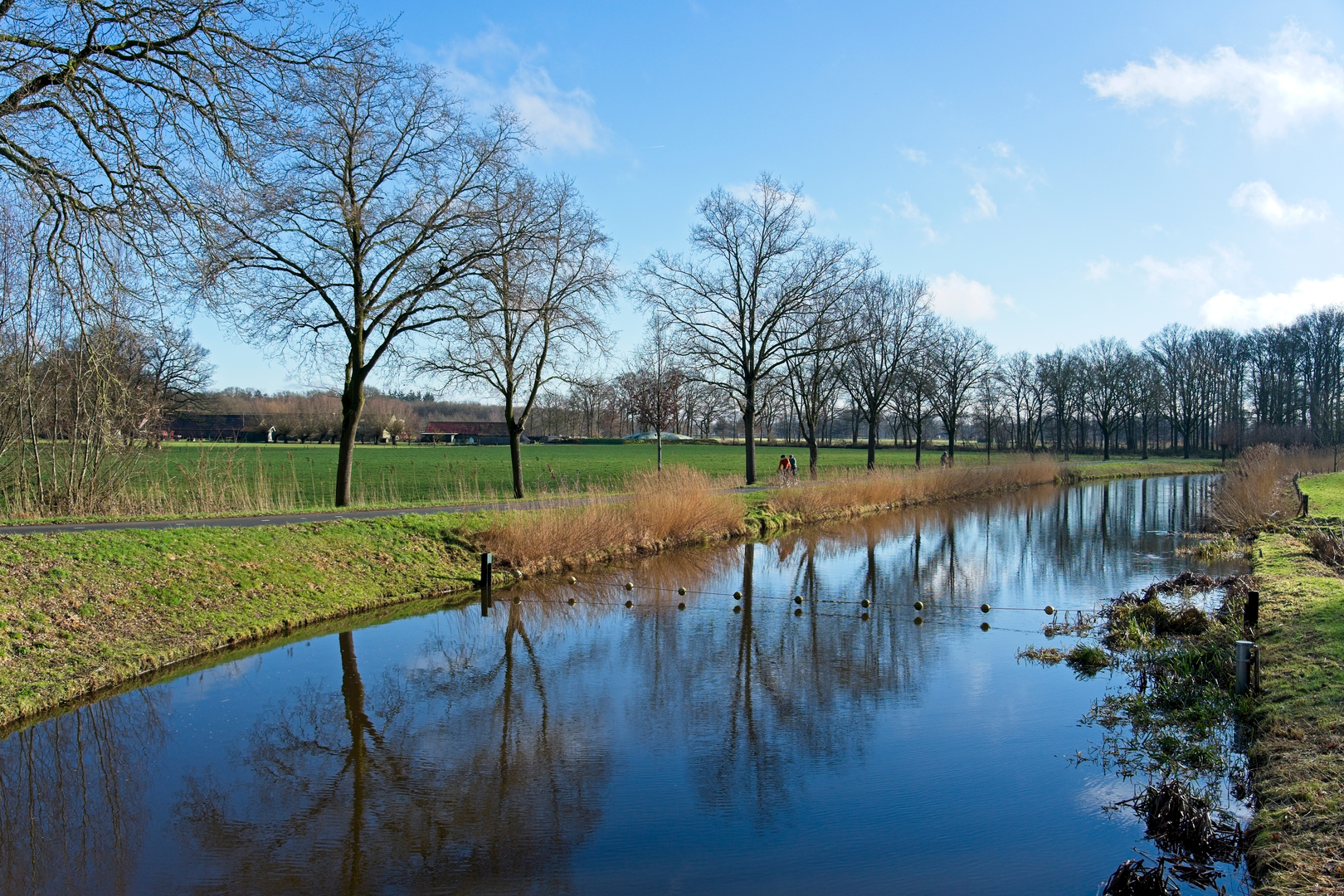
Starting from the outskirts of Wageningen, the Akkersesteeg, Ringheuvels and Waswater Loop offers a gentle 13 km (about 8 miles) circuit with virtually no elevation gain, making it accessible for hikers of all abilities. The trailhead is conveniently located near the Wageningen-Hoog neighborhood, with the nearest significant landmark being the Wageningen University & Research campus. For those arriving by public transport, buses from Ede-Wageningen train station stop frequently at Wageningen bus station, from where local buses or a short taxi ride can bring you to the trailhead. Drivers will find parking options near the Wageningen-Hoog area.
Trail Overview and Navigation
The route meanders through a patchwork of agricultural fields, mixed woodlands, and heathland, characteristic of the Gelderland region. The terrain is predominantly flat, with well-maintained paths and occasional sandy stretches. Navigation is straightforward, but for added confidence and real-time route tracking, HiiKER provides detailed maps and GPS guidance for this loop.
Landmarks and Points of Interest
- Akkersesteeg: Early in the hike, you’ll pass along the historic Akkersesteeg, a rural lane bordered by hedgerows and old farmsteads. This area has been cultivated for centuries, and remnants of traditional Dutch field patterns are still visible.
- Ringheuvels: Around the 5 km (3 mile) mark, the trail enters the Ringheuvels, a unique landscape of low, sandy ridges formed during the last Ice Age. These subtle elevations are covered in heath and pine, providing habitat for lizards, rabbits, and a variety of songbirds. In late summer, the heather blooms in vibrant purple.
- Waswater: At approximately 8 km (5 miles), the loop skirts the Waswater, a tranquil pond surrounded by reeds and willow trees. This is a prime spot for birdwatching—look for herons, grebes, and sometimes kingfishers darting across the water. Benches here offer a peaceful rest stop.
Nature and Wildlife
The Gelderland countryside is rich in biodiversity. Roe deer are occasionally seen at dawn or dusk, and the woodlands support woodpeckers, nuthatches, and tawny owls. The open fields attract hares and kestrels, while the pond and surrounding wetlands are alive with frogs and dragonflies in spring and summer.
Historical Context
This region has a deep agricultural history, with evidence of human settlement dating back to the Bronze Age. The sandy ridges of the Ringheuvels were once used as burial mounds, and local lore speaks of ancient pathways connecting villages and trading posts. During World War II, the area around Wageningen was significant as the site of the German surrender in the Netherlands, and subtle reminders of this history can be found in nearby memorials and plaques.
Getting There and Practical Tips
Public transport users should take the train to Ede-Wageningen, then transfer to a local bus toward Wageningen-Hoog. For drivers, the Wageningen-Hoog neighborhood offers several parking spots close to the trailhead. The entire loop is well-marked, but carrying the HiiKER app ensures you stay on track and can access up-to-date trail information. There are no steep sections, and the paths are suitable for sturdy walking shoes or lightweight hiking boots. Bring water and snacks, as there are limited facilities along the route, though Wageningen’s cafes and bakeries are a short drive or bus ride away for a post-hike treat.

Surfaces
Unknown
Unpaved
Sand
Dirt
Asphalt
Ground
Comments and Reviews
User comments, reviews and discussions about the Akkersesteeg, Ringheuvels and Waswater Loop, Netherlands.
average rating out of 5
0 rating(s)