Download
3D Flyover
Add to list
More
100.2 km
~4 days
1478 m
Multi-Day
“Winding through sun-dappled hills and historic villages, the Dutch Mountain Trail reveals Limburg’s rare, scenic heights.”
Starting near the historic city of Maastricht, the Dutch Mountain Trail in Zuid-Limburg stretches for approximately 100 km (62 miles) with a total elevation gain of about 1,500 metres (4,921 feet). This route is unique in the Netherlands, offering a rare taste of “mountain” hiking in a country famed for its flat landscapes. The trail is generally rated as easy, making it accessible for most hikers, though the cumulative elevation and length require good preparation.
Getting There
The trailhead is conveniently located near Maastricht, a city well-served by public transport. Trains from major Dutch cities such as Amsterdam, Utrecht, and Eindhoven arrive regularly at Maastricht Central Station. From the station, local buses or a short taxi ride can take you to the starting point. For those arriving by car, parking is available in Maastricht, with several long-term options near the city center.
Trail Overview and Navigation
The Dutch Mountain Trail is a point-to-point hike, weaving through the rolling hills of Zuid-Limburg, the only region in the Netherlands with true elevation. The route is well-marked, but carrying a digital map on HiiKER is highly recommended for navigation and to track your progress. The trail is divided into several stages, each ranging from 15 to 25 km (9 to 15 miles), making it suitable for multi-day hiking with overnight stays in local villages.
Landmarks and Historical Highlights
The trail passes through seven “mountain” summits, each offering panoramic views of the Limburg countryside. Notable peaks include the Vaalserberg, the highest point in the Netherlands at 322.4 metres (1,058 feet), and the Wilhelminaberg, crowned by a striking observation tower. Along the way, hikers encounter picturesque villages such as Epen and Vaals, known for their half-timbered houses and welcoming cafés.
The region is steeped in history, with Maastricht itself dating back to Roman times. The trail skirts the borders of Belgium and Germany, and you’ll pass remnants of World War II bunkers, medieval castles, and ancient chapels. The Drielandenpunt, where the borders of the Netherlands, Belgium, and Germany meet, is a highlight at around the halfway mark.
Nature and Wildlife
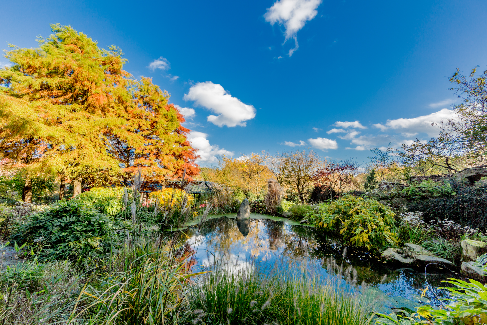
Zuid-Limburg’s landscape is a patchwork of beech and oak forests, wildflower meadows, and orchards. In spring and summer, the hills are alive with butterflies and songbirds. Roe deer, foxes, and badgers are occasionally spotted in the quieter stretches. The Geul and Gulp rivers meander through the valleys, supporting kingfishers and herons.
Trail Conditions and Preparation
The trail is mostly on well-maintained paths, with occasional steep ascents and descents, especially near the “mountain” summits. Expect a mix of forest trails, farm tracks, and quiet country roads. Weather can be changeable, so pack for rain and sun. Water sources are limited on some sections, so plan to refill in villages. Accommodation options range from campsites to charming guesthouses and hotels, many of which cater to hikers.
Planning Your Hike
Most hikers complete the Dutch Mountain Trail in four to six days, depending on pace and overnight stops. Public transport links are available at several points along the route, allowing for flexible stage planning or early exits if needed. For those seeking a challenge, the full route can be tackled in fewer days, but the rolling terrain and cumulative elevation make a steady pace advisable.
For up-to-date trail maps, elevation profiles, and stage planning, HiiKER provides comprehensive resources to ensure a safe and enjoyable journey through the hills of Zuid-Limburg.

Surfaces
Unknown
Asphalt
Dirt
Ground
Gravel
Unpaved
Grass
Concrete
Sand
Cobblestone
Paved
Comments and Reviews
User comments, reviews and discussions about the Dutch Mountain Trail, Netherlands.
5.0
average rating out of 5
2 rating(s)