Download
3D Flyover
Add to list
More
12.9 km
~2 hrs 34 min
0 m
Loop
“A gentle loop from Beetsterzwaag’s estate woods to wind-brushed fields, where flat paths hide rich variety.”
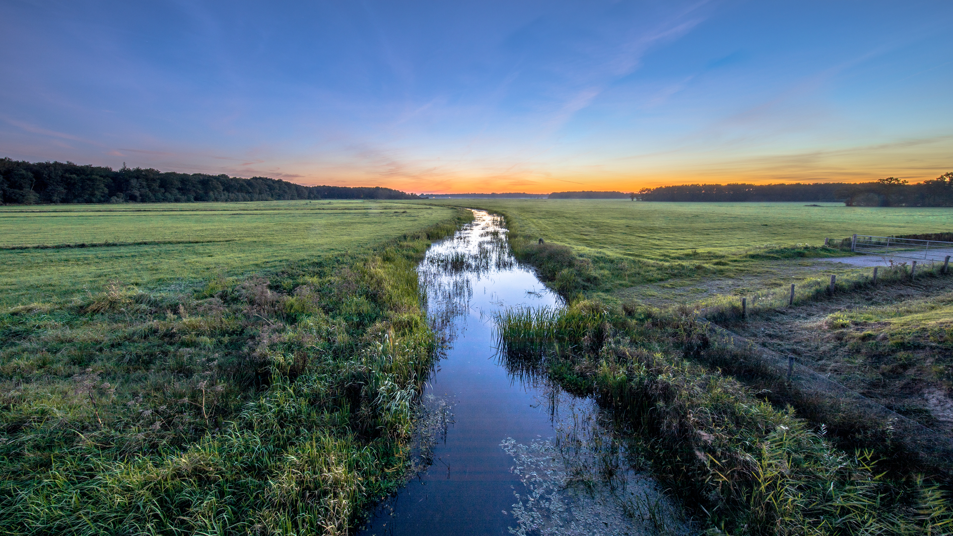
Expect a calm, almost pancake-flat 13 km (about 8.1 miles) loop where the “effort” is less about climbing (around 0 m / 0 ft of gain) and more about enjoying the variety: estate woodland, open field edges, and the distinctive Frisian Wouden landscape around Beetsterzwaag and Kortehemmen. Underfoot you’ll typically alternate between village pavements, compacted forest paths, and farm tracks that can turn slick after rain—easy walking overall, but bring footwear with decent tread.
Getting to the start (car + public transport)
Because the hike head is listed only as “near,” the most practical, well-known anchor in Beetsterzwaag for a loop like this is Lycklamahûs, Hoofdstraat 80, 9244 CP Beetsterzwaag (Opsterland, Friesland)—a prominent landmark on the village’s main street and a common walking start point in the area. (sites.google.com)
- By car: Beetsterzwaag sits just south of the A7 corridor (Heerenveen–Drachten direction). Parking is usually easiest on or near the Hoofdstraat/Boerestreek area or at signed village parking bays; if you prefer a forest-edge start, many walkers use parking areas near the Beetsterzwaag woods (for example around Poostweg for shorter forest loops), then link into the wider network. (wandeldingen.nl)
- By public transport: Regional buses connect Beetsterzwaag with nearby towns (notably Heerenveen and Drachten). A commonly used stop for walkers is Beetsterzwaag – Revalidatie Friesland (not far from the village/woodland edge), from where you can walk into the village and pick up the loop. (sites.google.com)
For navigation, plan to load the loop in HiiKER and keep it handy through the more “unmarked” countryside connectors where multiple farm tracks can look similar.
You’ll likely begin in Beetsterzwaag’s refined village setting—wide verges, mature trees, and the unmistakable feel of a place shaped by country estates. This part is ideal for settling into a steady pace and doing a quick gear check: water accessible, layers adjusted, and HiiKER tracking started before you leave the built-up area.
Within the first 2–3 km (1.2–1.9 miles), the route typically transitions into greener corridors: wooded lanes and estate edges where the soundscape shifts from traffic to birdsong. Beetsterzwaag is known for its surrounding woods and landgoederen (estates), and you’ll notice that “park-like” structure—straight or gently curving paths, tall trunks, and occasional clearings that feel designed rather than purely wild. (beetsterzwaagnatuurlijk.nl)
Through Kortehemsterveld and the rural fringe
As you arc away from the village, the character opens up. Around the midsection of a 13 km loop here, expect a mix of: - Field margins and hedged lanes typical of the Frisian Wouden mosaic (wooded banks, small parcels, and shelterbelts). - Drainage ditches and wetter hollows—flat terrain, but water is a constant presence, so after wet weeks you can get muddy pinch points where boots help. - Quiet farm roads where you should walk single-file and stay alert for cyclists and local traffic.
This is also where “easy” can still mean “pay attention”: in open stretches, wind can be surprisingly strong, and in shoulder seasons the combination of wind + damp can chill quickly even without elevation.
Nature and wildlife to look for
The Beetsterzwaag area is noted for a rich mix of birds and small-to-medium mammals in its woods and estate landscapes. Keep an eye and ear out for common woodland birds (woodpeckers are often mentioned locally), and scan the edges at dawn/dusk for roe deer slipping between cover. (beetsterzwaagnatuurlijk.nl)
Near wetter pockets and ditches, bird activity can spike—listen for alarm calls and watch for quick flashes of movement along the waterline.
Beetsterzwaag’s estates and regional history (what you’re walking through)
This landscape wasn’t shaped only by nature. Southeast Friesland’s sand ridges and river valley corridors attracted luxurious country estates near villages like Beetsterzwaag, and the broader **Koningsdiep (

Surfaces
Unknown
Sand
Asphalt
Dirt
Gravel
Comments and Reviews
User comments, reviews and discussions about the Moldobbe, Kortehemsterveld and Beetsterzwaag Loop, Netherlands.
average rating out of 5
0 rating(s)