Download
Preview
Add to list
More
17.7 km
~3 hrs 32 min
6 m
Loop
“Wander through vibrant meadows, tranquil waterways, and timeless villages on Amsterdam’s enchanting northern loop.”
Embarking on the Verbindingsdam, Blauwehoofdbrug, and Schellingwoude Loop offers a delightful 18-kilometer (approximately 11-mile) journey through the picturesque landscapes of Amsterdam's northern outskirts. With virtually no elevation gain, this easy loop is perfect for hikers of all levels, providing a serene escape into nature and history.
Starting Point and Access
The trailhead is conveniently located near Schellingwouderdijk, a notable dike in the Schellingwoude neighborhood of Amsterdam. For those using public transportation, the area is well-served by the GVB network. From Amsterdam Centraal Station, you can take tram line 26 to the Zuiderzeeweg stop, followed by a short walk to Schellingwouderdijk. Alternatively, bus line 37 from Linnaeusstraat to Liergouw brings you close to the starting point. If driving, parking is available near Schellingwouderdijk, but spaces may be limited, so arriving early is advisable.
Trail Overview
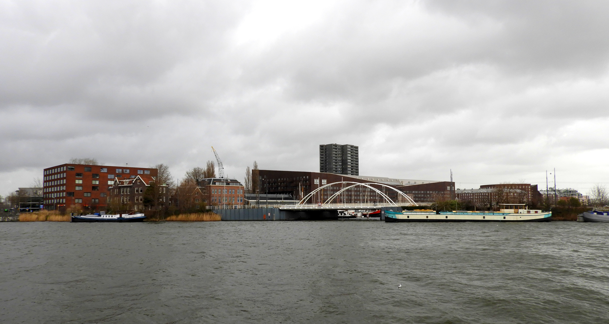
The loop begins by crossing the Verbindingsdam, a connecting dam that offers panoramic views of the surrounding waterways. As you proceed, you'll encounter the Blauwehoofdbrug, a charming bridge that adds to the scenic beauty of the route. The path meanders through the quaint village of Schellingwoude, known for its historic church dating back to 1866, which stands as a testament to the area's rich heritage.
Natural Highlights
Traversing through the Waterland region, the trail showcases expansive meadows, serene canals, and traditional Dutch polder landscapes. Keep an eye out for a variety of bird species, especially during migration seasons, as the wetlands serve as a haven for avian life. The route also passes by the Rietland, a natural area that forms part of the ecological link between Vliegenbos and the broader Waterland region, offering a glimpse into the area's biodiversity.
Historical Significance
Schellingwoude, one of the oldest parts of Amsterdam Noord, has a rich maritime history. The village's church, built on a terp (artificial mound) behind the dike, reflects traditional Dutch flood management practices. As you walk along the dikes, consider the engineering feats that have protected these low-lying lands from the encroaching waters for centuries.
Navigation and Preparation
To ensure a smooth hiking experience, it's recommended to use HiiKER for detailed maps and trail information. The app provides up-to-date data on the route, helping you stay on track and discover points of interest along the way. Given the flat terrain and well-maintained paths, standard hiking gear is sufficient. However, weather conditions can change rapidly, so packing a waterproof jacket is advisable.
Amenities and Rest Stops
Along the route, you'll find several spots to rest and refuel. The village of Durgerdam, approximately halfway through the loop, offers cozy cafés where you can enjoy traditional Dutch treats. Public restrooms are available in Schellingwoude and Durgerdam, ensuring comfort throughout your hike.
This loop not only provides a peaceful retreat into nature but also immerses you in the cultural and historical tapestry of the Amsterdam region. Whether you're a seasoned hiker or a casual walker, the Verbindingsdam, Blauwehoofdbrug, and Schellingwoude Loop promises a memorable experience.

Surfaces
Unknown
Asphalt
Cobblestone
Concrete
Gravel
Wood
Comments and Reviews
User comments, reviews and discussions about the Verbindingsdam, Blauwehoofdbrug and Schellingwoude Loop, Netherlands.
average rating out of 5
0 rating(s)