Download
Preview
Add to list
More
17.7 km
~3 hrs 33 min
7 m
Point-to-Point
“From lively canals to tranquil green spaces, this Amsterdam hike paints the city in ever-changing colors.”
Starting from the bustling hub of Stationsplein, right outside Amsterdam Centraal Station, this urban hike offers a unique blend of city energy and riverside tranquility. Easily accessible by train, tram, or bus, Stationsplein is one of the most connected locations in the Netherlands, making it simple for hikers to arrive from anywhere in the region. For those driving, several parking garages are available nearby, though public transport is recommended due to central Amsterdam’s limited parking.
Urban Departure and Canal Views
The route begins by weaving through the heart of Amsterdam, quickly transitioning from the lively station square into quieter neighborhoods. Within the first kilometer (0.6 miles), you’ll pass historic canal houses and cross the Amstel River, a waterway that has shaped the city’s history for centuries. The Amstel is lined with classic Dutch architecture, and early morning light often reflects beautifully off the water. Keep an eye out for the Magere Brug (Skinny Bridge), a famous white wooden drawbridge that has stood since the 17th century.
Weesperzijde: Riverside Promenade
At around 3 km (1.9 miles), the trail joins Weesperzijde, a leafy boulevard running parallel to the Amstel. This stretch is popular with locals for jogging and cycling, and you’ll find a mix of stately 19th-century mansions and cozy riverside cafés. The area is known for its relaxed atmosphere and offers several spots to pause for coffee or a snack. Birdlife is abundant here, with herons, swans, and coots frequently seen along the riverbanks.
Aquamarin and Green Spaces
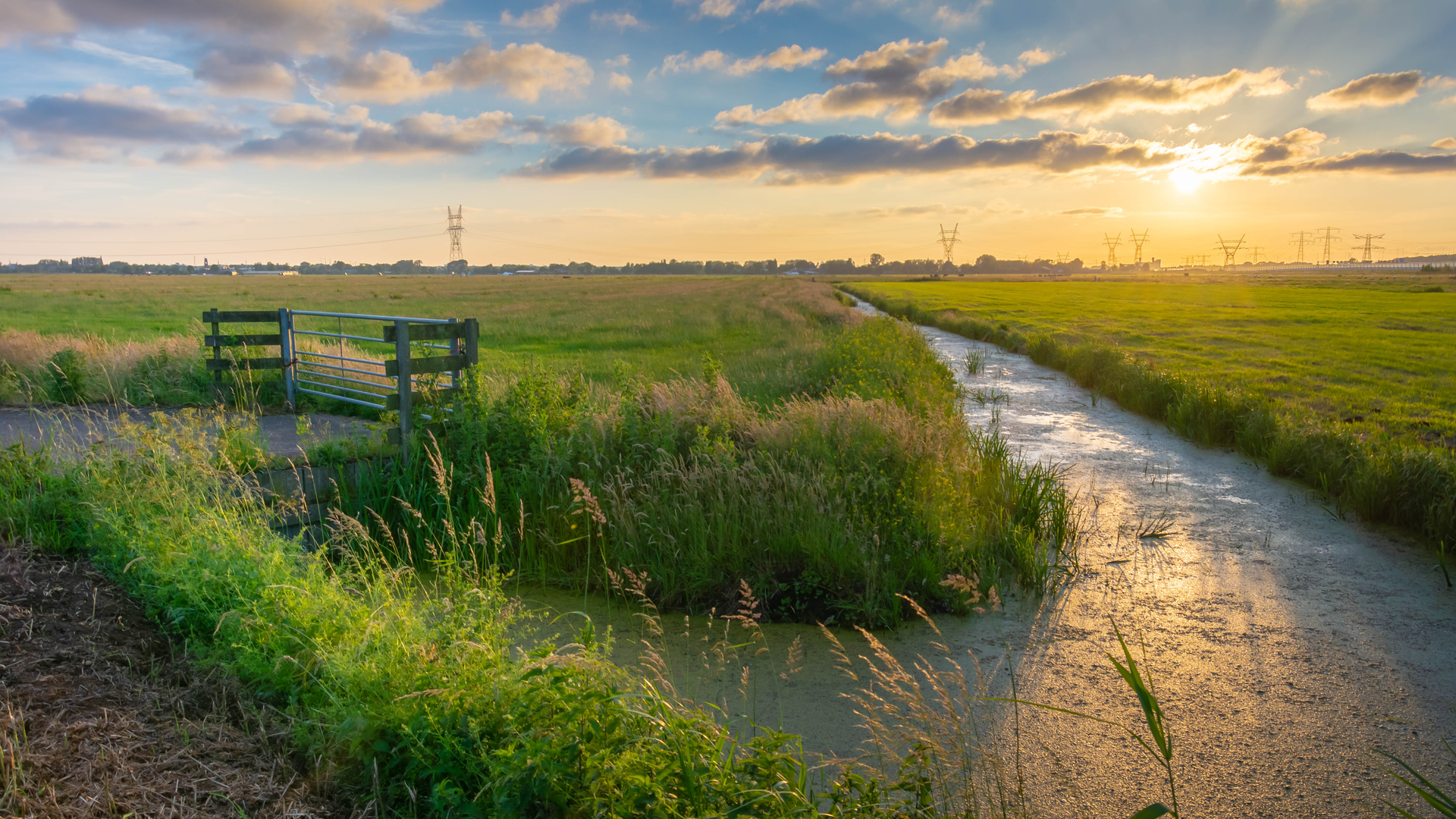
Continuing south, the route approaches the Aquamarin area, a quieter residential neighborhood with pockets of green space. Around the 10 km (6.2 miles) mark, you’ll notice the city giving way to more open areas, with parks and community gardens providing a peaceful contrast to the urban start. This section is flat, with no significant elevation gain, making it accessible for all fitness levels.
Nieuwstad Arrival and Local Character
The final stretch leads into Nieuwstad, a district known for its blend of modern developments and historical sites. The area’s name, meaning “New City,” reflects its evolution from farmland to a vibrant urban community. Here, you’ll find local markets, small museums, and public art installations. The hike concludes near the heart of Nieuwstad, where public transport options are readily available for your return journey.
Navigation and Planning
The entire route covers approximately 18 km (11.2 miles) with virtually no elevation gain, making it ideal for a leisurely day hike. Surfaces are mostly paved, so comfortable walking shoes are recommended. For navigation, HiiKER provides detailed maps and waypoints, ensuring you stay on track through the city’s winding streets and riverside paths.
Historical and Cultural Highlights
This hike offers a window into Amsterdam’s layered history, from the centuries-old canals and bridges to the modern vibrancy of its neighborhoods. Along the way, you’ll encounter reminders of the city’s trading past, its artistic heritage, and its ongoing commitment to green urban living. The route is also a showcase for Dutch cycling culture, with dedicated bike lanes and a steady stream of cyclists sharing the path.
Wildlife is subtle but present, especially along the Amstel and in the parks near Aquamarin. Expect to see waterfowl, songbirds, and the occasional urban fox or hedgehog in quieter green spaces.
With easy access, flat terrain, and a rich mix of city and nature, this hike is perfect for those looking to explore Amsterdam beyond the usual tourist routes.

Surfaces
Unknown
Asphalt
Paved
Cobblestone
Concrete
Wood
Comments and Reviews
User comments, reviews and discussions about the Stationsplein to Nieuwstad via Weesperzijde and Aquamarin, Netherlands.
average rating out of 5
0 rating(s)