Download
3D Flyover
Add to list
More
85.6 km
~3 days
19 m
Multi-Day
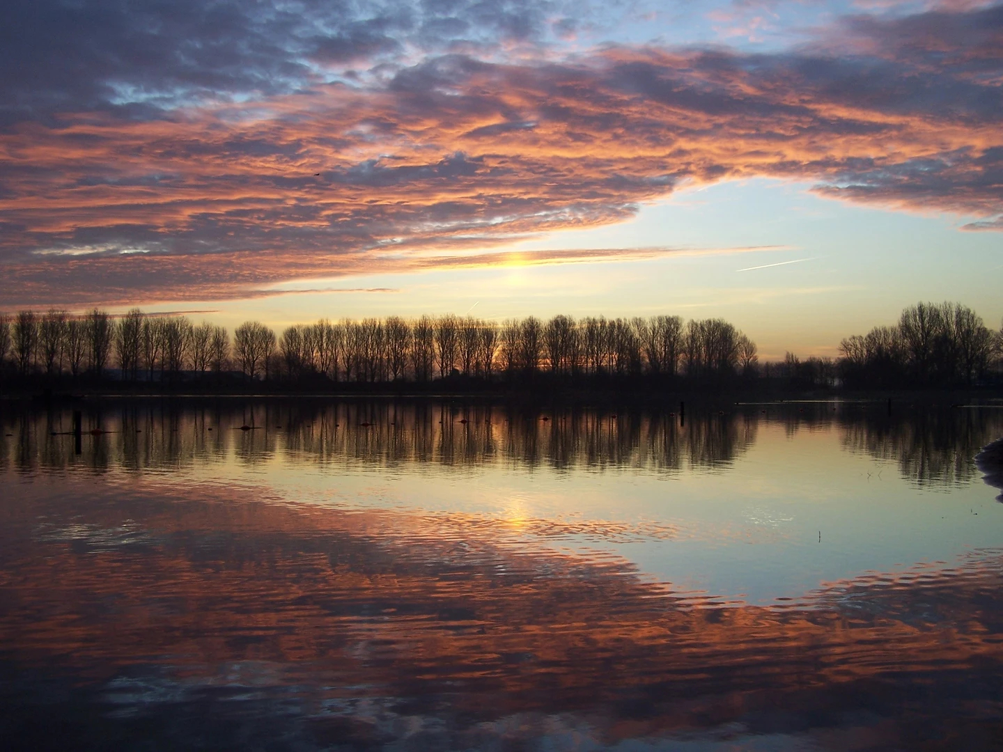
“A windswept lowland loop of canals, dikes, and village lanes—long, flat, quietly demanding.”
I’m missing a few key pieces of information needed to write this accurately (especially the start point). Please paste either:
1) the start lon/lat (or GPX/KML), and ideally the route line, or
2) a HiiKER link to the route, or
3) the town/nearest landmark for “Hike head: near …” (it looks cut off)
Once I have that, I’ll convert the coordinates to the nearest known address or significant landmark, and I’ll tailor the logistics, landmarks, and hazards to the exact loop.
In the meantime, here’s what I can already tell you—and what I’ll build on as soon as you send the start location:
What to expect from an ~85 km / ~53 mi, ~0 m / ~0 ft loop here
An 85 km (53 mi) loop with essentially no elevation gain is typically a lowland, paved-and-path network hike—often a mix of cycleways, canal-side tracks, farm roads, and village connectors. Plan for: - Hard surfaces for long stretches (asphalt, brick, compacted gravel). Footwear that’s comfortable on pavement matters more than aggressive tread. - Wind exposure: flat terrain often means little shelter; wind can be the main “difficulty multiplier,” especially across open fields and along waterways. - Water management: even with canals/ditches everywhere, potable water can be spaced out—expect to refill in towns, cafés, service stations, or public taps where available. - Navigation: the challenge is usually not steepness but junction density (many turns, parallel paths, and look‑alike farm lanes). Use HiiKER for turn-by-turn confidence and to avoid accidentally following a cycle trunk route that diverges.
Suggested pacing (so you can plan your day)
For an “Easy” profile but long distance: - Single-day push: 85 km (53 mi) is an ultra-distance walk for most people—often 14–18+ hours moving time depending on pace and stops. - More comfortable plan: split into 2 days: - Day 1: ~42–45 km (26–28 mi) - Day 2: ~40–43 km (25–27 mi) This also makes it easier to time public transport and to enjoy towns/landmarks rather than hiking the entire route in the dark.
Terrain, nature, and wildlife you’re likely to see
In flat, water-managed landscapes, the “scenery” is often defined by canals, dikes, reedbeds, pasture, and polder edges: - Birdlife is usually the headline: expect waterfowl (ducks, geese, swans), waders (depending on season), and raptors hunting over open fields. - Reed margins and drainage ditches can host frogs and small fish; in warmer months, insects can be intense near still water. - Livestock zones: cattle and sheep are common; you may pass electric fencing and farm gates—watch for narrow corridors where animals stand close to the path.
Things to look out for (the real “hazards” on flat long loops)
- Monotony + micro-navigation errors: flat routes can lull you into missing a turn. Check HiiKER at every major junction and whenever you cross a bridge/sluice.
- Cyclist traffic: shared paths can be busy and fast. Walk single-file, keep dogs close, and be predictable at crossings.
- Road crossings: even “easy” routes can include short but unpleasant links on faster roads—high-vis layers help in grey weather.
- Weather exposure: bring a windproof layer even if it’s mild; windchill on open dikes can be surprising.
- Blister risk: long distance + hard surfaces = hotspots. Tape early, manage socks, and plan at least one longer break to air feet.
Historical context (what I’ll tailor once I know the exact area)
Road names like Provincialeweg and Noorder…weg often trace older regional connectors that predate modern highways, and “stuis/sluice” naming commonly points to water-control infrastructure (sluices, locks, pumping stations). In many Dutch lowland regions, the landscape is essentially a living historical artifact: land reclamation, drainage engineering, and dike building shaped settlement patterns, agriculture, and trade routes.
Once you provide the start point, I’ll call out the specific sluices, canals, pumping stations, old village cores, and any protected nature areas the loop passes.
Getting to the start (I’ll make this specific once you share the start location)
Because “Schipholweg” can exist in multiple places, I don’t want to guess the wrong one. With the start lon/lat or nearest town, I’ll provide: - Public transport: nearest rail/bus stop(s), typical walking distance to the trailhead, and any key transfer points. - By car: best parking options (public lots vs. street parking), and what to avoid (permit zones, market days, time limits).
Send the start coordinates (lon/lat) or a HiiKER route link, and tell me whether you want this as a 1-day itinerary or a 2-day plan (and if 2-day, whether you prefer a town stop with lodging or a more rural overnight).

Surfaces
Asphalt
Unknown
Paved
Grass
Unpaved
Concrete
Comments and Reviews
User comments, reviews and discussions about the Schipholweg, Bergweg, Noorderstuisweg and Provincialeweg Loop, Netherlands.
average rating out of 5
0 rating(s)