Download
3D Flyover
Add to list
More
19.7 km
~3 hrs 57 min
13 m
Point-to-Point
“Wander where forests, heather, and hidden borders weave Dutch-Belgian tales beneath wide, peaceful skies.”
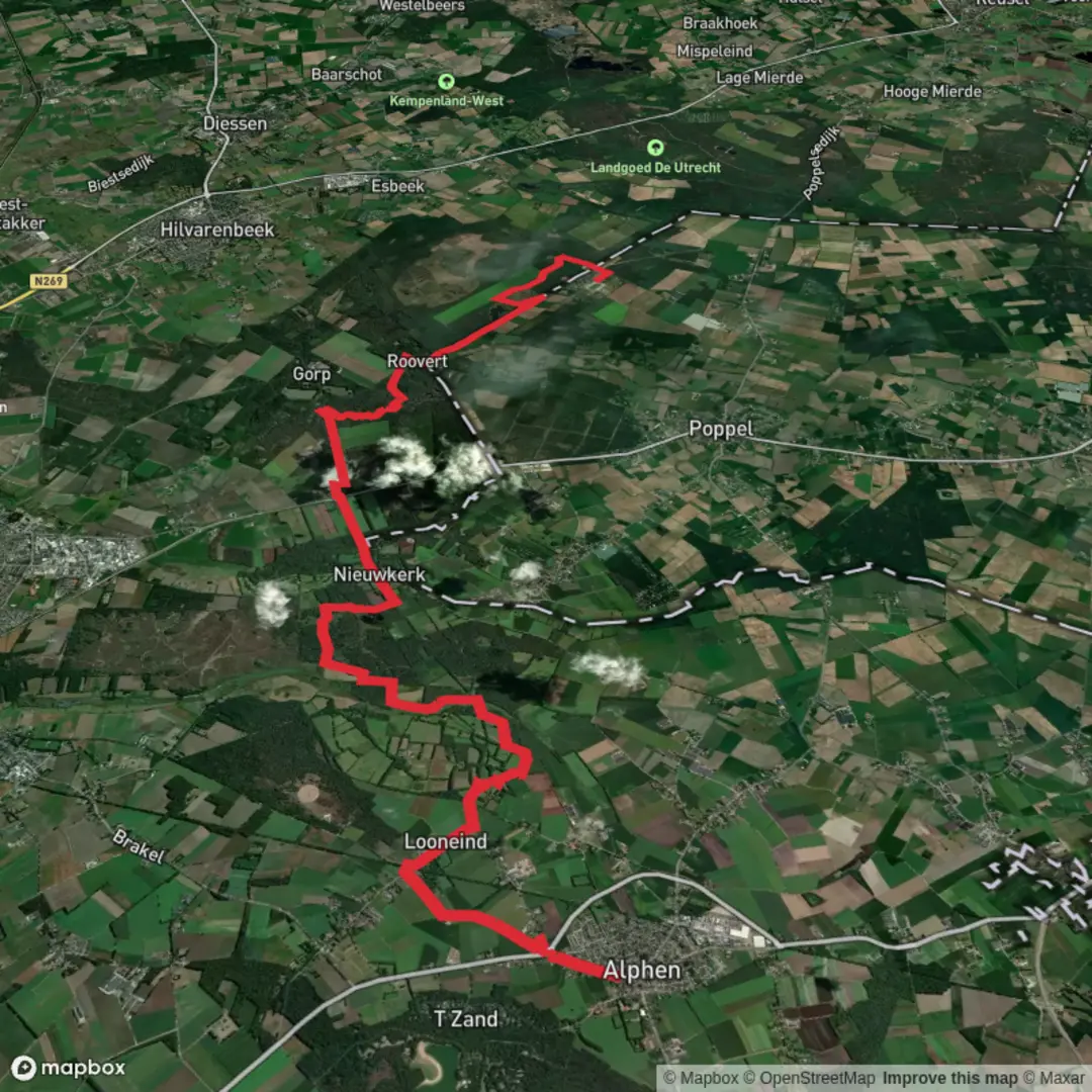
Starting near the village of Alphen in the southern Netherlands, this 20 km (about 12.4 miles) section of the Grenslandpad leads you through a landscape where Dutch and Belgian cultures blend seamlessly. With virtually no elevation gain, the route is ideal for those seeking a leisurely walk through forests, heathlands, and rural countryside, making it accessible for most fitness levels.
Getting There
Alphen is easily reached by public transport from Tilburg or Breda. Buses run regularly to Alphen from both cities, with the nearest stop being “Alphen, Kerk” in the village center. For those arriving by car, parking is available near the church in Alphen (Sint-Willibrorduskerk, Raadhuisstraat 4, 5131 BA Alphen), which is a convenient starting point for the hike.
Trail Overview and Navigation
The Grenslandpad, marked as LAW 11, is a long-distance trail that traces the Dutch-Belgian border. For navigation, HiiKER provides detailed maps and GPS tracks, ensuring you stay on course through the varied terrain.
Forests and Heathlands
Leaving Alphen, the trail quickly immerses you in the Chaamse Bossen, a sprawling forest area known for its Scots pine and oak trees. This section, stretching for about 5 km (3.1 miles), is rich in birdlife, including woodpeckers and nuthatches. The forest floor is often carpeted with moss and heather, especially vibrant in late summer.
Crossing the Border
Around the halfway mark, you’ll approach the Dutch-Belgian border. The Grenslandpad is famous for its border markers—stone posts dating back to the 19th century, remnants of the region’s shifting boundaries. These markers are a reminder of the area’s complex history, once a hotspot for smuggling during times of strict border controls.
Rural Countryside and Canals
After crossing into Belgium, the landscape opens up to agricultural fields and small hamlets. The route passes near the Turnhouts Vennengebied, a nature reserve with peat bogs and rare wetland flora. Watch for herons and, if you’re lucky, the elusive European otter. The trail also skirts the edge of the Oude Ley, a meandering stream that supports a variety of aquatic life.
Approaching Tulderheyde
The final stretch leads you through quiet lanes and pastures, eventually arriving at Tulderheyde, a small Belgian hamlet known for its tranquil setting and nearby recreational lake. The endpoint is close to Tulderheyde Camping (Tulderheyde 25, 2382 Ravels, Belgium), a well-known local landmark and a good spot to rest or arrange onward transport.
Practical Tips
- The entire route is flat, with an elevation gain of approximately 0 metres (0 feet), making it suitable for all ages.
- Surfaces range from forest paths to gravel farm tracks; sturdy walking shoes are recommended, especially after rain.
- Facilities are limited between Alphen and Tulderheyde, so carry enough water and snacks.
- Wildlife is abundant, especially in the forest and wetland sections—binoculars are useful for birdwatching.
- Use HiiKER for up-to-date trail conditions and navigation support.
This cross-border hike offers a peaceful journey through natural and cultural landscapes, with plenty of opportunities to spot wildlife and explore the unique history of the Dutch-Belgian borderlands.

Surfaces
Dirt
Unknown
Sand
Asphalt
Ground
Paved
Comments and Reviews
User comments, reviews and discussions about the Alphen to Tulderheyde via Grenslandpad, Netherlands.
average rating out of 5
0 rating(s)