Download
3D Flyover
Add to list
More
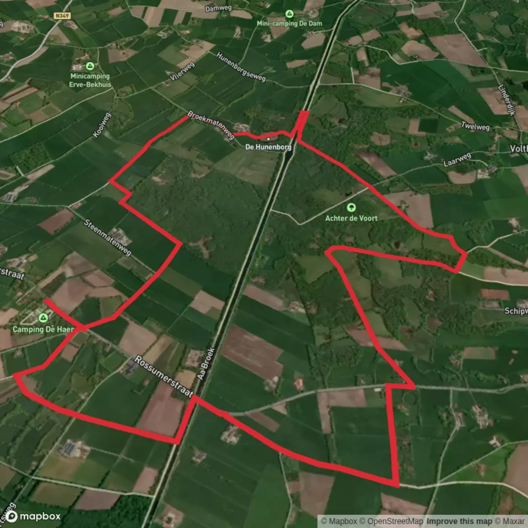
12.7 km
~2 hrs 32 min
0 m
Loop
“Meandering through wildflower meadows, ancient woodlands, and history-rich villages, this scenic loop enchants at every turn.”
Starting from the outskirts of Nijmegen, the Hilligenpad and Stuwwal Route offers a gentle 13 km (about 8 miles) loop with virtually no elevation gain, making it accessible for hikers of all abilities. The trailhead is conveniently located near the village of Berg en Dal, a short bus ride from Nijmegen Central Station, or a 15-minute drive if arriving by car. Parking is available at the Wylerbergmeer recreation area, a well-known local landmark.
Getting There and Trail Access
Public transport users can catch a bus from Nijmegen Central Station to Berg en Dal, with stops close to the trailhead. For those driving, set your navigation to Wylerbergmeer, a popular lake and recreation spot, which serves as a reliable starting point and offers ample parking.
Trail Experience and Landmarks
The route meanders through the rolling landscapes of Gelderland, following the ancient glacial ridge known as the "stuwwal." Despite the lack of significant elevation gain, the terrain undulates gently, offering open views across meadows, woodlands, and the occasional orchard. The path is well-marked and easy to follow, but for added confidence, HiiKER provides detailed navigation and offline maps.
At approximately 3 km (1.9 miles), the trail passes through the historic village of Beek-Ubbergen, where you can spot centuries-old farmhouses and the striking Bartholomeuskerk, a church with roots dating back to the Middle Ages. The area is steeped in history, having been a strategic location during World War II’s Operation Market Garden, and remnants of wartime bunkers can still be found hidden among the trees.
Nature and Wildlife
The route traverses the edge of the Ooijpolder nature reserve, a haven for birdlife. Keep an eye out for storks, herons, and the occasional kingfisher along the ditches and ponds. In spring and summer, wildflowers line the trail, and the woodlands are alive with the calls of songbirds. Roe deer and foxes are sometimes seen in the quieter stretches, especially near the forested sections around Duivelsberg, about 8 km (5 miles) into the hike.
Points of Interest and Facilities
Around the halfway mark, the trail skirts the Duivelsberg nature reserve, known for its ancient beech forests and the remains of a medieval motte-and-bailey castle. There are picnic spots and benches along the way, particularly near the Duivelsberg pancake house, a popular rest stop for hikers.
The final stretch leads back toward Wylerbergmeer, where you can relax by the water or enjoy refreshments at the lakeside café. Toilets and water refill points are available at the recreation area and in Berg en Dal.
Planning and Preparation
The route is mostly on well-maintained paths and quiet country lanes, suitable for sturdy walking shoes but not requiring specialized gear. Weather can be changeable, so pack a light rain jacket and sun protection. The trail is open year-round, but spring and autumn offer the most vibrant scenery.
For navigation and up-to-date trail conditions, HiiKER is recommended, providing reliable maps and route details to ensure a smooth and enjoyable hike.

Surfaces
Sand
Unknown
Asphalt
Dirt
Concrete
Grass
Ground
Wood
Comments and Reviews
User comments, reviews and discussions about the Hilligenpad and Stuwwal Route, Netherlands.
average rating out of 5
0 rating(s)