Download
3D Flyover
Add to list
More
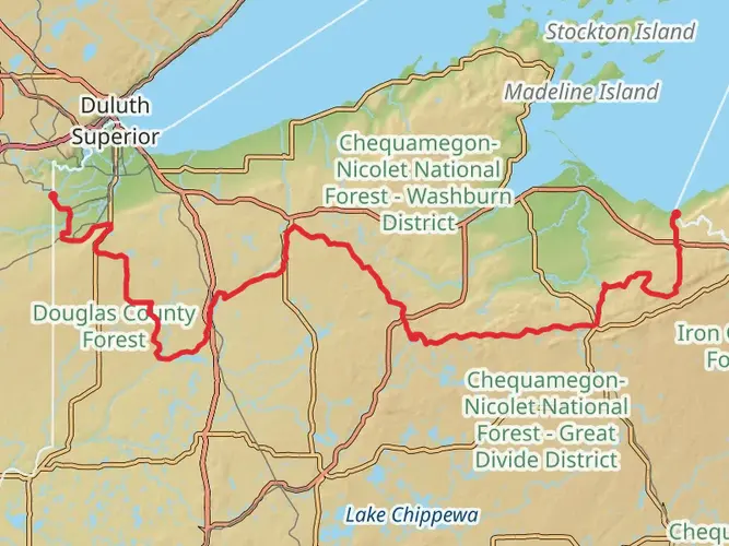
478.5 km
~18 days
6385 m
Multi-Day
“Embark on the Superior Hiking Trail for a scenic, history-rich trek amidst wildlife and rugged landscapes.”
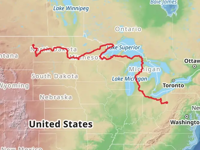
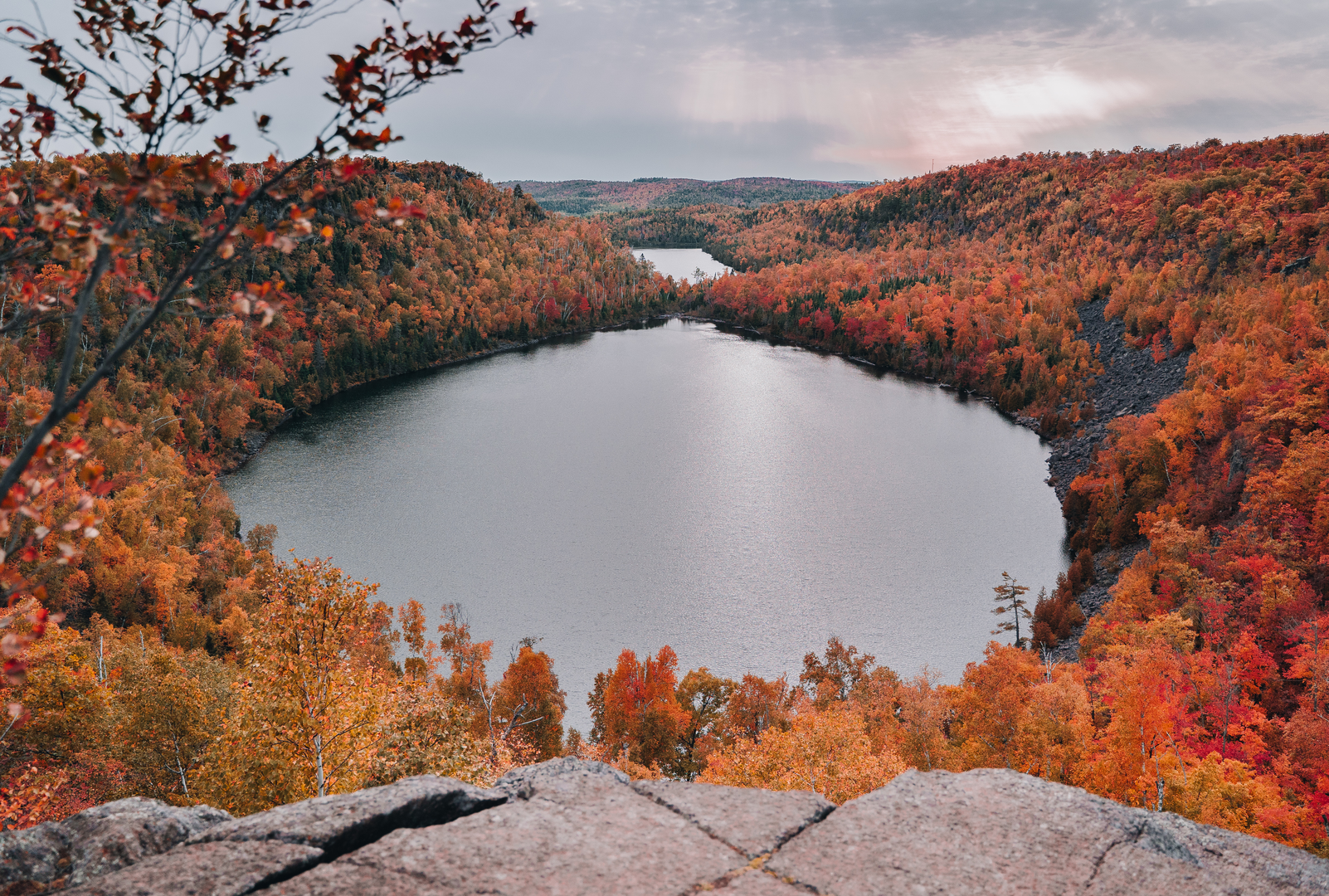
The Superior Hiking Trail, a rugged footpath stretching approximately 479 kilometers (298 miles) along the ridgeline overlooking Lake Superior in northeastern Minnesota, offers hikers a unique blend of natural beauty and historical significance. With an elevation gain of around 6300 meters (20,669 feet), the trail provides a medium difficulty level, suitable for hikers with some experience.
Getting to the Trailhead
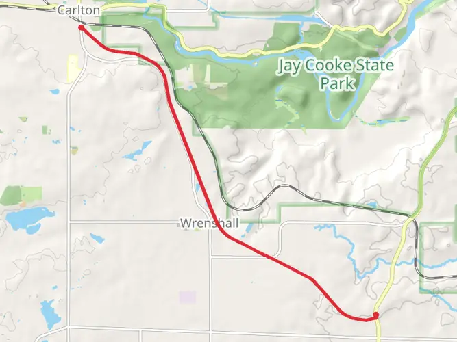
The southern terminus of the Superior Hiking Trail is near Jay Cooke State Park, just outside of Duluth, Minnesota. To reach the trailhead, hikers can drive to the park, which is accessible via State Highway 210. For those relying on public transportation, options are limited, but the Duluth Transit Authority provides bus services to the outskirts of Duluth, where you may need to arrange a taxi or shuttle service to the park.
Navigating the Trail
Hikers can rely on the HiiKER app for detailed maps and navigation assistance throughout their journey. The trail is well-marked with blue blazes and signage, but having a digital tool can be invaluable, especially in remote sections where the path may be less defined.
Landmarks and Scenery
As you embark on your hike, you'll encounter a diverse array of landscapes, including dense forests, serene inland lakes, and cascading waterfalls. Notable landmarks include the Split Rock Lighthouse, one of the most photographed lighthouses in the United States, and the iconic Palisade Head, which offers breathtaking views of Lake Superior.
Wildlife and Nature
The trail traverses through several state parks and protected areas, providing habitats for a variety of wildlife. Keep an eye out for moose, black bears, and the elusive lynx. Birdwatchers will delight in the opportunity to spot warblers, raptors, and the occasional great gray owl.
Historical Significance
The region is steeped in history, from indigenous cultures to the fur trade era and the rise of iron ore mining. Hikers will pass remnants of early settlements and old mining operations, offering a glimpse into the area's past.
Trail Sections and Difficulty
The trail is divided into sections, each with its own character and challenges. The section from Silver Bay to Tettegouche State Park, for example, includes a steep climb to the top of Bear Mountain, while the hike from Gooseberry Falls to Split Rock Lighthouse features more moderate terrain.
Preparation and Safety
Hikers should prepare for variable weather conditions and pack accordingly. It's essential to carry a water filtration system, as there are numerous streams and rivers along the route. Safety is paramount, so inform someone of your itinerary and check in regularly.
End of the Trail
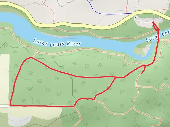
The northern terminus is near the Canadian border, at the 270 Degree Overlook in Cook County. After completing the trail, hikers can arrange for a shuttle or have a vehicle waiting at the end point to return to civilization.
Remember, the Superior Hiking Trail is a leave-no-trace area, so pack out all your trash and minimize your impact on the environment to preserve its beauty for future generations.

What to expect?
Activity types
Comments and Reviews
User comments, reviews and discussions about the Superior Hiking Trail, Minnesota.
4.39
average rating out of 5
18 rating(s)