Download
Preview
Add to list
More
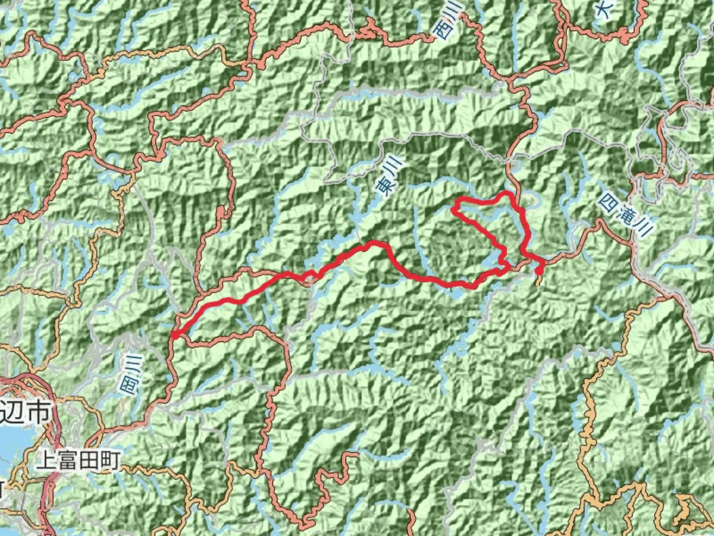
60.0 km
~17 hrs 46 min
3461 m
Point-to-Point
“The Kumano Kodo is a spiritually rich, challenging pilgrimage through Japan's lush landscapes and sacred shrines.”
The Kumano Kodo is a revered pilgrimage route in Japan, weaving through the lush Kii Peninsula. Spanning approximately 60 kilometers (about 37 miles) with an elevation gain of around 3,400 meters (11,155 feet), this point-to-point trail is known for its challenging terrain and profound cultural significance. The journey begins near Tanabe, a city accessible by train from Osaka or Kyoto. From Tanabe, local buses can transport you to the trailhead, making public transport a convenient option for reaching this historic path.
Historical Significance
The Kumano Kodo is one of only two UNESCO World Heritage pilgrimage routes, alongside Spain's Camino de Santiago. For over a thousand years, pilgrims have traversed these paths to visit the sacred Kumano Sanzan shrines: Kumano Hongu Taisha, Kumano Nachi Taisha, and Kumano Hayatama Taisha. These shrines are deeply embedded in Japanese spiritual history, representing a blend of Shinto and Buddhist beliefs. As you hike, you'll encounter ancient stone paths, Oji shrines, and tea houses that have served travelers for centuries.
Trail Highlights
Takijiri-oji to Chikatsuyu-oji (Approx. 15 km / 9.3 miles): The trailhead at Takijiri-oji marks the beginning of your ascent into the mystical Kii Mountains. This section is steep and rugged, with an elevation gain of about 800 meters (2,625 feet). The dense forests and occasional clearings offer glimpses of the surrounding valleys. Chikatsuyu-oji, a small village, provides a welcoming rest stop with traditional inns and local cuisine.
Chikatsuyu-oji to Kumano Hongu Taisha (Approx. 24 km / 15 miles): This segment is a test of endurance, with undulating paths and an elevation gain of approximately 1,000 meters (3,280 feet). The trail meanders through cedar and cypress forests, past ancient stone markers and small shrines. The highlight is reaching Kumano Hongu Taisha, a grand shrine set amidst towering trees, offering a serene atmosphere for reflection.
Kumano Hongu Taisha to Kumano Nachi Taisha (Approx. 21 km / 13 miles): The final stretch leads you through more mountainous terrain, with an elevation gain of around 1,600 meters (5,250 feet). This section is known for its breathtaking views, particularly the Nachi Waterfall, Japan's tallest waterfall at 133 meters (436 feet). The trail concludes at Kumano Nachi Taisha, where the vibrant red pagoda and the waterfall create a stunning backdrop.
Nature and Wildlife
The Kumano Kodo traverses diverse ecosystems, from coastal areas to dense mountain forests. Hikers may encounter a variety of wildlife, including deer, monkeys, and a rich array of bird species. The flora is equally diverse, with seasonal blooms such as cherry blossoms in spring and vibrant autumn foliage.
Navigation and Preparation
Given the trail's difficulty, preparation is key. Hikers should be equipped with sturdy footwear, weather-appropriate clothing, and sufficient water and snacks. The trail is well-marked, but using a navigation tool like HiiKER is recommended to ensure you stay on course. Accommodations range from traditional ryokans to modern guesthouses, and booking in advance is advisable, especially during peak seasons.
The Kumano Kodo offers a unique blend of physical challenge, natural beauty, and spiritual enrichment, making it a journey that resonates on multiple levels.

Comments and Reviews
User comments, reviews and discussions about the Kumano Kodo, Japan.
5.0
average rating out of 5
2 rating(s)