Tiefenbachtal bei Simmerath mit Nebenbächen via Matthiasweg and Tiefenbachtal
Download
Preview
Add to list
More
10.2 km
~2 hrs 25 min
241 m
Loop
“Discover the Tiefenbachtal bei Simmerath trail's lush beauty, moderate challenge, and rich history on this 10 km loop.”
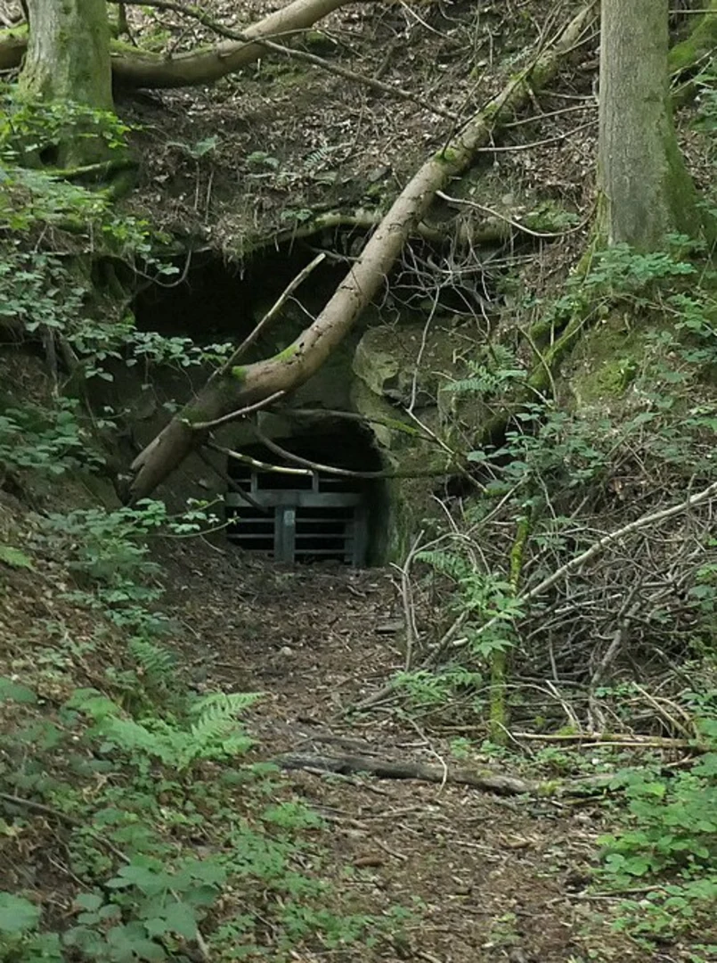
Starting near the Städteregion Aachen in Germany, this 10 km (6.2 miles) loop trail offers a delightful mix of natural beauty and moderate challenge, making it an excellent choice for hikers looking to explore the Tiefenbachtal bei Simmerath area. With an elevation gain of around 200 meters (656 feet), the trail is rated as medium difficulty, suitable for those with some hiking experience.### Getting There To reach the trailhead, you can either drive or use public transport. If driving, set your GPS to the nearest known address: Simmerath, Städteregion Aachen, Germany. There is ample parking available near the trailhead. For those using public transport, take a train to Aachen Hauptbahnhof and then a bus to Simmerath. From there, it's a short walk to the starting point of the trail.### Trail Overview The trail begins with a gentle ascent through lush forests, offering a serene start to your hike. As you progress, you'll encounter the Matthiasweg, a well-marked path that guides you deeper into the forest. The initial 2 km (1.2 miles) are relatively easy, with a gradual elevation gain of about 50 meters (164 feet).### Key Landmarks and Nature Around the 3 km (1.9 miles) mark, you'll reach the Tiefenbachtal, a picturesque valley known for its clear streams and diverse flora. This area is particularly beautiful in the spring and autumn when the foliage is at its most vibrant. Keep an eye out for local wildlife, including deer and various bird species.#### Nebenbächen Streams As you continue, you'll come across several Nebenbächen (side streams) that feed into the main Tiefenbach stream. These smaller streams add to the trail's charm, creating a soothing soundtrack of flowing water. The trail here is relatively flat, making it a good spot to take a break and enjoy the natural surroundings.### Historical Significance The region around Simmerath has a rich history, with evidence of human settlement dating back to Roman times. The Matthiasweg itself is named after Saint Matthias, one of the apostles, and has been a pilgrimage route for centuries. As you hike, you'll notice several historical markers and plaques that provide insights into the area's past.### Navigation and Safety The trail is well-marked, but it's always a good idea to have a reliable navigation tool. HiiKER is an excellent app for this purpose, offering detailed maps and real-time GPS tracking. Make sure to download the trail map before you start, as cell service can be spotty in some areas.### Final Stretch The last 2 km (1.2 miles) of the trail loop back towards the starting point, with a gentle descent that offers stunning views of the surrounding countryside. This section is relatively easy, allowing you to cool down and reflect on the hike.### Wildlife and Flora Throughout the hike, you'll encounter a variety of plant species, including oak, beech, and pine trees. The underbrush is home to wildflowers, ferns, and mosses, adding to the trail's natural beauty. Wildlife is abundant, so keep your eyes peeled for squirrels, foxes, and a variety of bird species.### Practical Tips - Wear sturdy hiking boots, as some sections can be muddy, especially after rain. - Bring enough water and snacks, as there are no facilities along the trail. - Check the weather forecast before you go, and dress in layers to accommodate changing conditions.This trail offers a perfect blend of natural beauty, moderate challenge, and historical significance, making it a rewarding experience for any hiker.

What to expect?
Activity types
Comments and Reviews
User comments, reviews and discussions about the Tiefenbachtal bei Simmerath mit Nebenbächen via Matthiasweg and Tiefenbachtal, Germany.
4.4
average rating out of 5
5 rating(s)