Download
Preview
Add to list
More
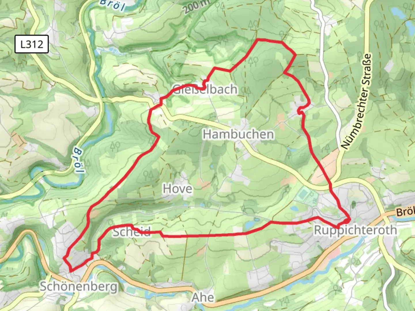
10.9 km
~2 hrs 29 min
189 m
Loop
“Explore Ruppichteroth Rundweg Rechteck: a scenic 11 km trail blending natural beauty and historical landmarks.”
Starting near Rhein-Sieg-Kreis, Germany, the Ruppichteroth Rundweg Rechteck is a scenic loop trail that spans approximately 11 kilometers (around 6.8 miles) with an elevation gain of about 100 meters (328 feet). This medium-difficulty trail offers a delightful mix of natural beauty, historical landmarks, and charming rural landscapes.
Getting There
To reach the trailhead, you can drive or use public transport. If driving, set your GPS to Ruppichteroth, a small town in the Rhein-Sieg-Kreis district. There are parking facilities available near the town center. For those using public transport, take a train to the nearest major station, which is in Hennef (Sieg). From Hennef, you can catch a bus to Ruppichteroth. The bus ride offers a scenic view of the German countryside, making it a pleasant start to your hiking adventure.
Trail Navigation
For navigation, it is highly recommended to use the HiiKER app, which provides detailed maps and real-time updates. The trail is well-marked, but having a reliable navigation tool will ensure you stay on track.
Trail Highlights
Nature and Wildlife
The trail meanders through a variety of landscapes, including dense forests, open meadows, and rolling hills. As you hike, keep an eye out for local wildlife such as deer, foxes, and a variety of bird species. The forested sections are particularly enchanting, with tall trees providing ample shade and a serene atmosphere.
Historical Landmarks
One of the significant landmarks along the trail is the old Ruppichteroth Church, located approximately 3 kilometers (1.9 miles) from the start. This historic church dates back to the medieval period and offers a glimpse into the region's rich history. Another notable site is the ruins of a medieval castle, situated around 7 kilometers (4.3 miles) into the hike. The castle ruins are perched on a hill, offering panoramic views of the surrounding countryside.
Points of Interest
Scenic Views
Around the 5-kilometer (3.1-mile) mark, you'll come across a viewpoint that offers breathtaking vistas of the Sieg Valley. This is an excellent spot to take a break, enjoy a snack, and capture some photos.
Local Flora
The trail is abundant with local flora, especially during the spring and summer months. Wildflowers such as bluebells, daisies, and poppies add a splash of color to the landscape. The meadows are also home to various herbs and medicinal plants, which have been used by locals for centuries.
Trail Conditions
The trail is generally well-maintained, but it can get muddy in sections, especially after rain. Sturdy hiking boots are recommended. There are a few gentle inclines, but nothing too strenuous, making it suitable for hikers of moderate fitness levels.
Amenities
There are several benches and picnic spots along the trail, providing opportunities to rest and enjoy the surroundings. In Ruppichteroth, you’ll find a few local cafes and restaurants where you can grab a meal before or after your hike.
Safety Tips
While the trail is relatively safe, always carry a basic first-aid kit and enough water, especially during the warmer months. Mobile reception can be spotty in some forested areas, so downloading offline maps on HiiKER is advisable.
Embark on this delightful loop trail to experience the natural beauty and historical richness of the Rhein-Sieg-Kreis region.

Comments and Reviews
User comments, reviews and discussions about the Ruppichteroth Rundweg Rechteck, Germany.
4.33
average rating out of 5
3 rating(s)