Download
Preview
Add to list
More
12.8 km
~3 hrs 53 min
792 m
Loop
“Experience a 13 km hike with stunning views, rich history, and diverse wildlife near Ottenhöfen, Germany.”
Starting near Ortenaukreis, Germany, this 13 km (8 miles) loop trail offers a moderately challenging hike with an elevation gain of approximately 700 meters (2,300 feet). The trailhead is conveniently accessible by both car and public transport. If you're driving, you can park near the village of Ottenhöfen im Schwarzwald. For those using public transport, take a train to Ottenhöfen Bahnhof, which is well-connected to major cities in the region.
Initial Ascent and Scenic Views
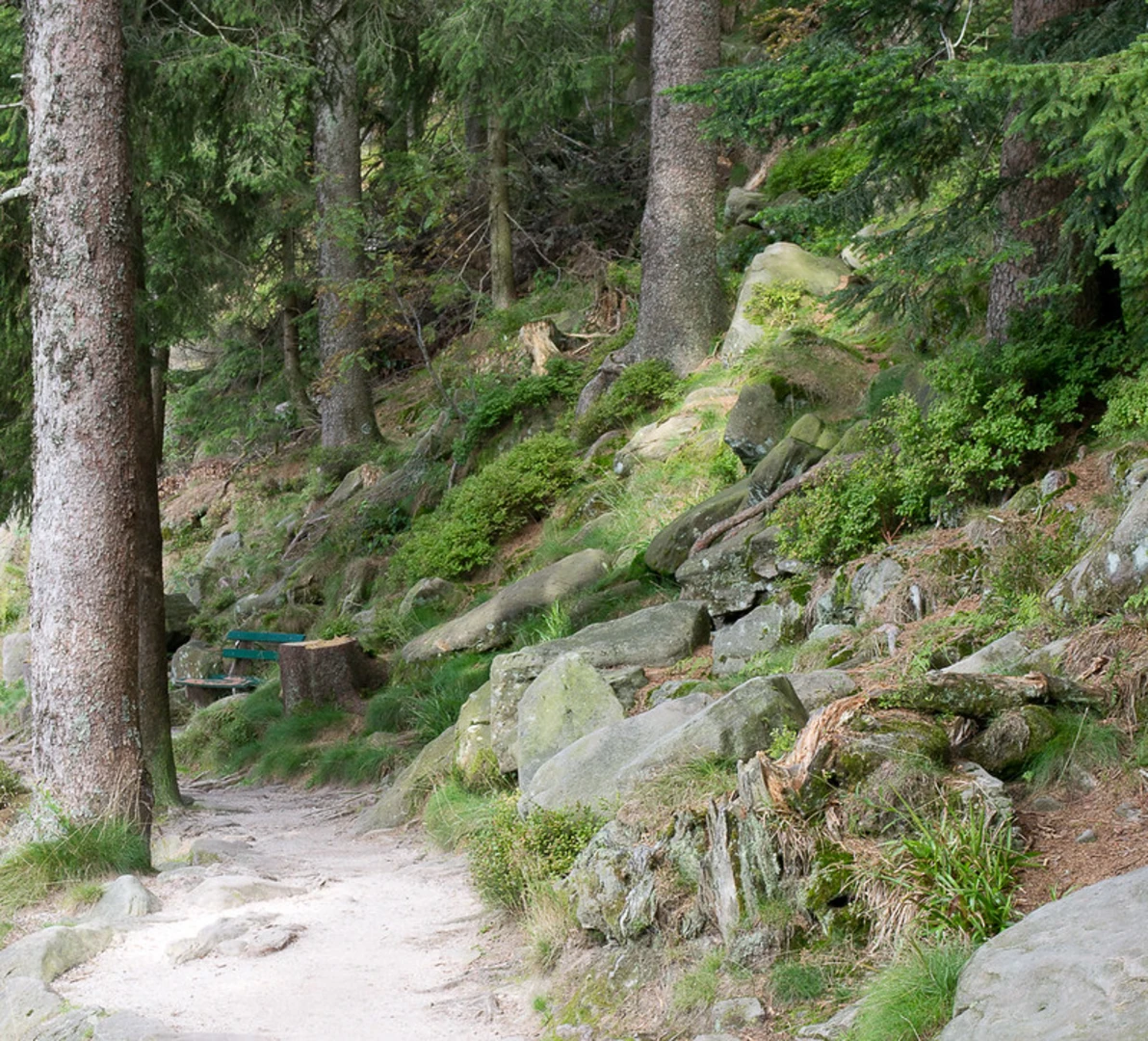
The hike begins with a steady ascent through dense forest, offering a mix of deciduous and coniferous trees. Early on, you'll encounter the Bergmatt, a picturesque meadow that provides a great spot for a short break. The initial climb is about 3 km (1.9 miles) with an elevation gain of around 300 meters (984 feet), so pace yourself and enjoy the natural surroundings.
Historical Significance
As you continue, you'll come across remnants of historical significance. The region around Ortenaukreis has a rich history dating back to Roman times. Keep an eye out for old boundary stones and ancient paths that were once used for trade and travel. These historical markers add a unique layer to your hiking experience.
Wildlife and Flora
The trail is teeming with wildlife, including deer, foxes, and a variety of bird species. The flora is equally diverse, with wildflowers blooming in the spring and summer months. The forest canopy provides ample shade, making it a pleasant hike even during warmer weather.
Grillplatz Hohfelsen
Around the 7 km (4.3 miles) mark, you'll reach Grillplatz Hohfelsen, a popular picnic spot with panoramic views of the surrounding Black Forest. This area is equipped with picnic tables and grills, making it an ideal place to rest and refuel. The elevation here is about 600 meters (1,968 feet), offering a rewarding view after your climb.
Navigation and Safety
For navigation, it's highly recommended to use HiiKER, which provides detailed maps and real-time updates. The trail is well-marked, but having a reliable navigation tool ensures you stay on track. Always carry enough water and wear appropriate footwear, as some sections can be rocky and uneven.
Final Descent and Return
The descent begins after Grillplatz Hohfelsen, winding through more forested areas and eventually leading you back to Ottenhöfen. The final 6 km (3.7 miles) are mostly downhill, making for a more relaxed end to your hike. You'll pass by several small streams and possibly encounter more wildlife as you make your way back.
Getting Back
Once you return to Ottenhöfen, you can easily catch a train back to your starting point or retrieve your car from the parking area. The village itself is charming, with several cafes and restaurants where you can unwind and reflect on your hike.
This trail offers a balanced mix of natural beauty, historical intrigue, and moderate physical challenge, making it a rewarding experience for hikers of all levels.

What to expect?
Activity types
Comments and Reviews
User comments, reviews and discussions about the Bergmatt and Grillplatz Hohfelsen via Ottenhoefen Mummelsee, Germany.
4.67
average rating out of 5
6 rating(s)