Download
Preview
Add to list
More
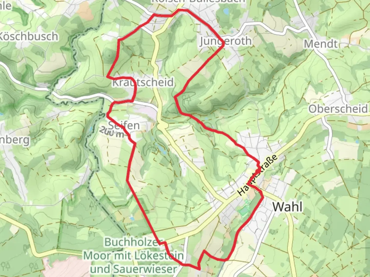
10.8 km
~2 hrs 28 min
198 m
Loop
“Explore the scenic and historical 11 km Dreiherrensteinweg and Silberbergweg trail near Neuwied, Germany.”
Starting near Neuwied, Germany, the Dreiherrensteinweg and Silberbergweg trail offers a captivating 11 km (approximately 6.8 miles) loop with an elevation gain of around 100 meters (328 feet). This medium-difficulty trail is perfect for those looking to explore the scenic beauty and historical richness of the region.
Getting There To reach the trailhead, you can drive or use public transport. If driving, head towards Neuwied and look for parking near the starting point, which is close to the Neuwied Castle. For public transport, take a train to Neuwied Station and then a local bus or taxi to the trailhead.
Trail Navigation For navigation, it's highly recommended to use the HiiKER app, which provides detailed maps and real-time updates to ensure you stay on track.
Trail Highlights
#### Dreiherrenstein One of the first significant landmarks you'll encounter is the Dreiherrenstein, a historical boundary stone marking the meeting point of three territories. This stone has historical significance dating back to the times when the region was divided among different rulers. It's a great spot to take a break and reflect on the history that shaped the area.
#### Silberberg As you continue, you'll ascend towards Silberberg, the highest point on the trail. The climb is gradual, making it accessible for most hikers. At the summit, you'll be rewarded with panoramic views of the surrounding landscape, including the Rhine River and the rolling hills of the Westerwald. The elevation gain here is about 100 meters (328 feet), providing a moderate challenge without being too strenuous.
Flora and Fauna The trail meanders through dense forests and open meadows, offering a diverse range of flora and fauna. In the spring and summer, you'll find wildflowers in full bloom, while autumn brings a stunning display of fall colors. Keep an eye out for local wildlife, including deer, foxes, and a variety of bird species.
Historical Significance The region around Neuwied has a rich history, with evidence of human settlement dating back to Roman times. The trail itself passes by several historical sites, including remnants of old fortifications and ancient boundary markers. These landmarks offer a glimpse into the past and add an educational element to your hike.
Practical Information The trail is well-marked, but it's always a good idea to have a reliable navigation tool like HiiKER. There are several rest areas along the route, including benches and picnic spots, making it easy to take breaks and enjoy the scenery. The loop nature of the trail means you'll end up back where you started, making logistics simple.
Safety Tips While the trail is rated medium in difficulty, it's important to wear appropriate footwear and bring enough water, especially during warmer months. The forested sections can be slippery after rain, so take care on those parts of the trail.
By following this guide, you'll be well-prepared to enjoy the Dreiherrensteinweg and Silberbergweg trail, taking in its natural beauty, historical landmarks, and diverse wildlife.

Comments and Reviews
User comments, reviews and discussions about the Dreiherrensteinweg and Silberbergweg, Germany.
4.5
average rating out of 5
2 rating(s)