Download
Preview
Add to list
More
12.0 km
~2 hrs 49 min
258 m
Loop
“Explore the scenic Florsbachtal Loop: 12 km of diverse landscapes, historical landmarks, and moderate challenges.”
Starting near the picturesque Main-Kinzig-Kreis in Germany, the Florsbachtal Loop is a delightful 12 km (7.5 miles) trail with an elevation gain of approximately 200 meters (656 feet). This loop trail is rated as medium difficulty, making it suitable for moderately experienced hikers.
Getting There
To reach the trailhead, you can drive or use public transport. If driving, set your GPS to Flörsbachtal, a charming village in the Main-Kinzig-Kreis district. For those using public transport, take a train to the nearest major station, Gelnhausen, and then a local bus to Flörsbachtal. The trailhead is conveniently located near the village center.
Trail Navigation
For navigation, it's highly recommended to use the HiiKER app, which provides detailed maps and real-time updates. The trail is well-marked, but having a reliable navigation tool will enhance your hiking experience.
Trail Highlights
The Florsbachtal Loop offers a variety of landscapes, from dense forests to open meadows. As you start your hike, you'll be greeted by the serene beauty of the Spessart Forest, one of Germany's largest contiguous forest areas. The initial part of the trail is relatively flat, allowing you to ease into the hike.
Flora and Fauna
The trail is rich in biodiversity. Keep an eye out for native wildlife such as deer, foxes, and a variety of bird species. The forest floor is often carpeted with wildflowers in the spring and summer, adding a splash of color to your hike.
Historical Significance
As you progress, you'll come across several historical landmarks. One notable site is the ruins of an old mill, approximately 4 km (2.5 miles) into the hike. This mill dates back to the 18th century and offers a glimpse into the region's industrial past. Another point of interest is a small chapel located about 7 km (4.3 miles) from the start, which has been a place of pilgrimage for centuries.
Midpoint and Elevation Gain
Around the midpoint of the trail, you'll encounter the most significant elevation gain. The ascent is gradual but steady, taking you through a series of switchbacks. Once you reach the highest point, approximately 200 meters (656 feet) above the starting elevation, you'll be rewarded with panoramic views of the surrounding countryside.
Scenic Views and Rest Stops
There are several scenic viewpoints along the trail where you can take a break and enjoy the landscape. One particularly stunning viewpoint is located about 9 km (5.6 miles) into the hike, offering a sweeping view of the Florsbachtal Valley. There are also several benches and picnic spots along the way, perfect for a rest or a snack.
Final Stretch
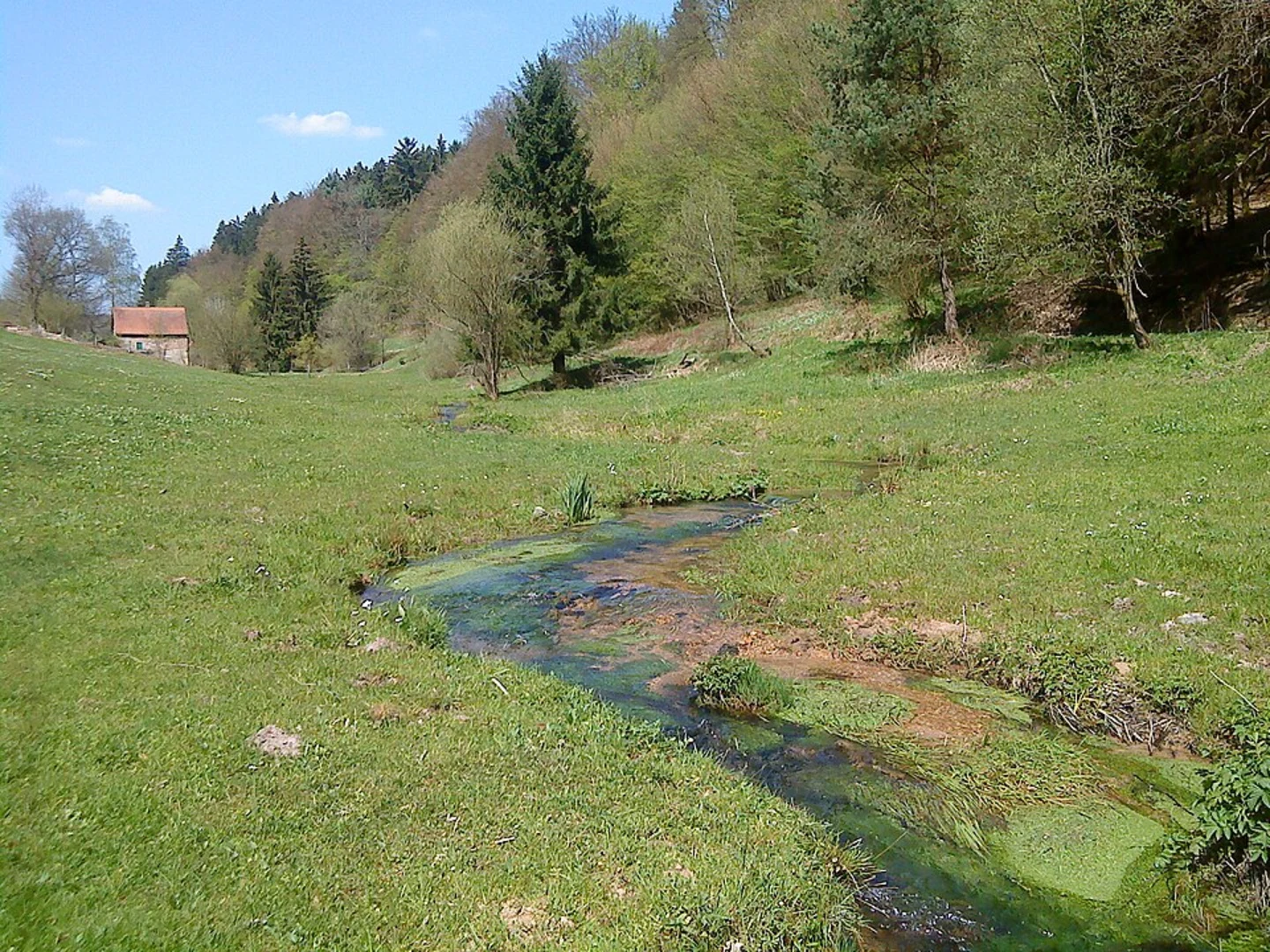
The final stretch of the trail takes you through a series of meadows and small streams, gradually leading you back to the village of Flörsbachtal. This part of the hike is relatively easy, allowing you to cool down and reflect on the journey.
Practical Tips
- Wear sturdy hiking boots, as some sections of the trail can be rocky and uneven.
- Bring plenty of water and snacks, especially if you plan to take your time exploring the historical sites and scenic viewpoints.
- Check the weather forecast before you go, as the trail can be slippery in wet conditions.
- Use the HiiKER app for real-time navigation and updates.
The Florsbachtal Loop is a rewarding hike that offers a mix of natural beauty, historical landmarks, and moderate physical challenge. Whether you're a local or a visitor, this trail provides a wonderful opportunity to explore the scenic and historical richness of the Main-Kinzig-Kreis region.

What to expect?
Activity types
Comments and Reviews
User comments, reviews and discussions about the Florsbachtal Loop, Germany.
5.0
average rating out of 5
1 rating(s)