Download
Preview
Add to list
More
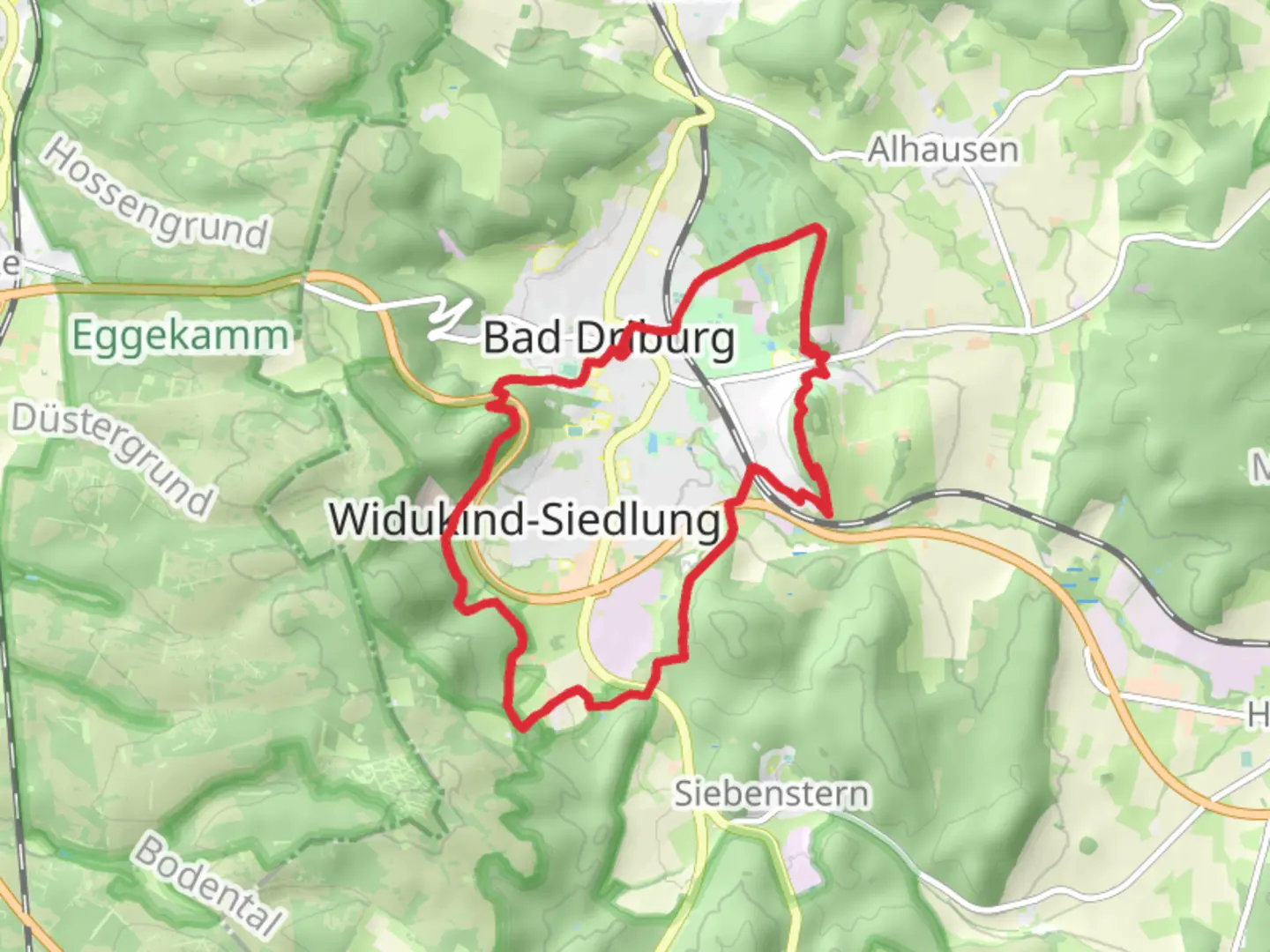
14.9 km
~3 hrs 42 min
444 m
Loop
“The 15 km Sachsenring Loop in Kreis Höxter, Germany, offers a diverse, moderately challenging hiking experience.”
Starting near Kreis Höxter, Germany, the Sachsenring Loop is a captivating 15 km (approximately 9.3 miles) trail with an elevation gain of around 400 meters (about 1,312 feet). This loop trail is rated as medium difficulty, making it suitable for moderately experienced hikers.
Getting There
To reach the trailhead, you can either drive or use public transport. If driving, set your GPS to Kreis Höxter, Germany, and look for parking options near the trailhead. For those using public transport, the nearest significant landmark is the Höxter Rathaus, which is well-connected by local buses. From there, it's a short walk to the trailhead.
Trail Overview
The Sachsenring Loop offers a diverse hiking experience, weaving through dense forests, open meadows, and along scenic ridges. The trail is well-marked, but it's always a good idea to have a reliable navigation tool like HiiKER to ensure you stay on track.
Key Sections and Landmarks
- Initial Ascent: The first 3 km (1.9 miles) involve a steady ascent through a mixed forest. The elevation gain here is about 150 meters (492 feet), providing a good warm-up for the rest of the hike.
- Forest Canopy: Around the 5 km (3.1 miles) mark, you'll find yourself under a dense forest canopy. This section is relatively flat and offers a serene environment with the sounds of local wildlife, including various bird species and small mammals.
- Scenic Ridge: At approximately 7 km (4.3 miles), the trail opens up to a scenic ridge. Here, you'll gain another 100 meters (328 feet) in elevation. This section offers panoramic views of the surrounding countryside, making it an excellent spot for a break and some photography.
- Historical Significance: Near the 10 km (6.2 miles) point, you'll come across remnants of old fortifications and ancient stone structures. This area is rich in history, dating back to medieval times when the region was a strategic point of defense.
- Descent and Meadows: The final 5 km (3.1 miles) involve a gradual descent through open meadows. This section is particularly beautiful in the spring and summer months when wildflowers are in full bloom.
Flora and Fauna
The trail is home to a variety of plant and animal life. In the forested sections, you'll encounter oak, beech, and pine trees. The meadows are filled with wildflowers such as daisies, buttercups, and poppies. Wildlife sightings may include deer, foxes, and a variety of bird species like woodpeckers and owls.
Preparation Tips
- Footwear: Given the mixed terrain, sturdy hiking boots are recommended.
- Weather: Check the local weather forecast before heading out. The trail can be muddy after rain, making some sections slippery.
- Water and Snacks: Carry enough water and snacks, especially if you plan to take breaks and enjoy the scenery.
- Navigation: Use HiiKER for real-time navigation and to stay updated on any trail changes or closures.
This trail offers a well-rounded hiking experience with its mix of natural beauty, historical landmarks, and moderate challenges. Whether you're a local or visiting the area, the Sachsenring Loop is a rewarding hike that showcases the best of what Kreis Höxter has to offer.

Comments and Reviews
User comments, reviews and discussions about the Sachsenring Loop, Germany.
4.5
average rating out of 5
2 rating(s)