Download
Preview
Add to list
More
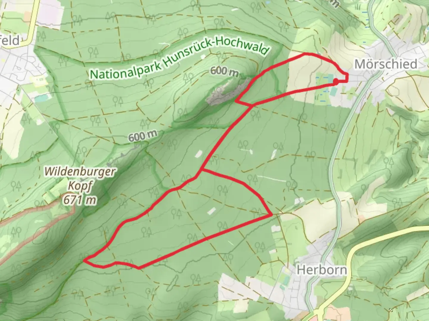
10.0 km
~2 hrs 17 min
171 m
Loop
“Explore Germany's Hunsrück region on a scenic trail rich with nature, wildlife, and history.”
Nestled in the picturesque landscapes of Germany, the Hunsrueckhoehenweg and Saar Hunsrueck Steig offer a delightful loop trail that spans approximately 10 kilometers (about 6.2 miles) with an elevation gain of around 100 meters (328 feet). This medium-difficulty trail begins near the charming town of Birkenfeld, providing a perfect blend of natural beauty and historical intrigue.
Getting There
To reach the trailhead near Birkenfeld, travelers can opt for public transport or drive. If you're using public transport, the nearest major city is Trier, from where you can catch a regional train to Birkenfeld. From the train station, local buses or a short taxi ride will take you to the trailhead. For those driving, Birkenfeld is accessible via the A62 motorway, with ample parking available near the start of the trail.
Trail Highlights
Scenic Landscapes and Natural Beauty
As you embark on this loop trail, you'll be greeted by the serene beauty of the Hunsrück region. The trail meanders through lush forests, open meadows, and gentle hills, offering a diverse range of landscapes. The elevation gain is gradual, making it accessible for hikers with moderate experience. Keep an eye out for the vibrant flora, especially during spring and summer when wildflowers are in full bloom.
Wildlife Encounters
The trail is home to a variety of wildlife, including deer, foxes, and numerous bird species. Early morning or late afternoon hikes increase your chances of spotting these creatures in their natural habitat. Birdwatchers will particularly enjoy the melodic calls of songbirds echoing through the trees.
Historical Significance
The Hunsrück region is steeped in history, with remnants of ancient Roman settlements scattered throughout. As you hike, you'll encounter several historical landmarks, including old Roman roads and watchtowers. These sites offer a glimpse into the past, providing a fascinating backdrop to your journey. The area was also significant during the Celtic era, and you might come across Celtic burial mounds along the way.
Navigation and Safety
For navigation, the HiiKER app is an excellent tool to ensure you stay on track. The trail is well-marked, but having a digital map can provide additional peace of mind. As with any hike, it's essential to wear appropriate footwear and carry sufficient water, especially during warmer months. Weather in the Hunsrück can be unpredictable, so packing a light rain jacket is advisable.
Points of Interest
Idar Forest
Approximately halfway through the trail, you'll enter the Idar Forest, a dense woodland area that offers a cool respite on hot days. The forest is known for its towering beech and oak trees, creating a canopy that filters sunlight into a dappled pattern on the forest floor.
Nahe River Views
As you near the end of the loop, the trail offers stunning views of the Nahe River. This section provides an excellent opportunity for photography, with the river winding through the valley below, framed by rolling hills and distant mountains.
The Hunsrueckhoehenweg and Saar Hunsrueck Steig trail is a captivating journey through one of Germany's most beautiful regions, offering a perfect mix of nature, wildlife, and history. Whether you're a seasoned hiker or a nature enthusiast, this trail promises an enriching experience.

What to expect?
Activity types
Comments and Reviews
User comments, reviews and discussions about the Hunsrueckhoehenweg and Saar Hunsrueck Steig, Germany.
average rating out of 5
0 rating(s)