
Download
3D Flyover
Add to list
More
7.7 km
~1 hrs 49 min
181 m
Loop
“The 8 km Heinrichsthal Loop near Aschaffenburg offers scenic forest trails, rich history, and moderate hiking challenges.”
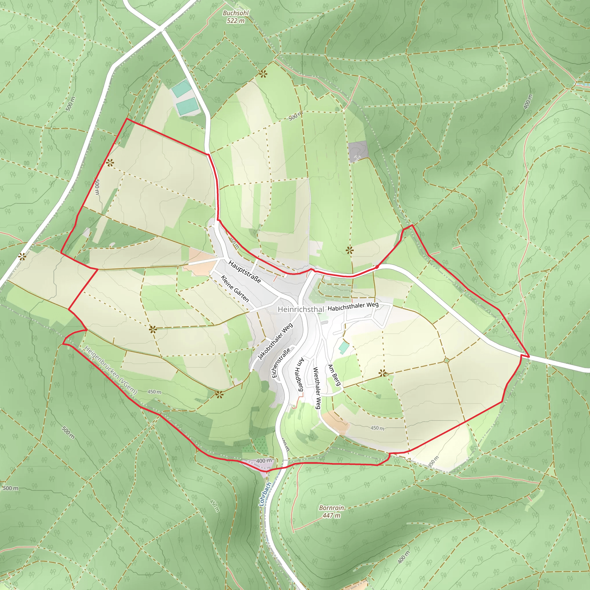
Starting near Aschaffenburg, Germany, the Heinrichsthal Loop is an 8 km (approximately 5 miles) trail with an elevation gain of around 100 meters (328 feet). This loop trail offers a medium difficulty rating, making it suitable for moderately experienced hikers.
Getting There
To reach the trailhead, you can drive or use public transport. If driving, head towards Aschaffenburg and follow signs to Heinrichsthal. For those using public transport, take a train to Aschaffenburg Hauptbahnhof (main station). From there, you can catch a local bus or taxi to Heinrichsthal, which is about 20 km (12 miles) away.
Trail Overview
The Heinrichsthal Loop begins near the village of Heinrichsthal, nestled in the Spessart hills. The trail is well-marked and primarily consists of forest paths and dirt roads, making it accessible for most hikers.
Key Landmarks and Points of Interest
- Heinrichsthal Village: The trailhead is located near this quaint village, known for its traditional German architecture and friendly locals. It's worth taking a short stroll through the village before or after your hike.
- Spessart Forest: As you embark on the trail, you'll quickly find yourself enveloped by the dense, serene Spessart Forest. This forest is one of the largest contiguous forest areas in Germany and is home to a variety of wildlife, including deer, wild boar, and numerous bird species.
- Historical Significance: The Spessart region has a rich history, dating back to medieval times. The forest was once a hunting ground for nobility and has numerous legends associated with it. Keep an eye out for old boundary stones and remnants of ancient trade routes.
- Scenic Views: Around the 4 km (2.5 miles) mark, the trail opens up to a clearing that offers panoramic views of the surrounding hills and valleys. This is a great spot to take a break and enjoy the scenery.
- Flora and Fauna: The trail is abundant with diverse plant life, including oak, beech, and pine trees. In spring and summer, the forest floor is carpeted with wildflowers, adding a splash of color to your hike.
Navigation and Safety
The trail is well-marked with signs and blazes, but it's always a good idea to have a reliable navigation tool. The HiiKER app is highly recommended for this purpose, as it provides detailed maps and real-time tracking to ensure you stay on course.
Trail Conditions and Preparation
- Footwear: Given the forested terrain, sturdy hiking boots with good ankle support are recommended.
- Weather: The weather in this region can be unpredictable, so pack layers and be prepared for sudden changes.
- Water and Snacks: There are no facilities along the trail, so bring enough water and snacks to keep you energized.
- Wildlife: While encounters with wildlife are rare, it's always good to be aware of your surroundings and make noise to avoid surprising any animals.
Final Stretch
As you near the end of the loop, you'll descend gently back towards Heinrichsthal. The final kilometer (0.6 miles) is a pleasant walk through mixed woodland, gradually bringing you back to the village where you started.
Comments and Reviews
User comments, reviews and discussions about the Heinrichsthal Loop, Germany.
4.0
average rating out of 5
2 rating(s)
