Download
Preview
Add to list
More
18.4 km
~5 hrs 48 min
1274 m
Loop
“This 18 km loop near Grasmere offers stunning views, challenging climbs, and historical charm.”
Starting near Westmorland and Furness, England, this loop trail spans approximately 18 km (11 miles) with an elevation gain of around 1200 meters (3937 feet). The trailhead is conveniently located near the village of Grasmere, a picturesque spot known for its connection to the poet William Wordsworth.
Getting There
To reach the trailhead, you can drive to Grasmere, where parking is available at several car parks, including the Stock Lane Car Park. If you prefer public transport, buses run regularly from nearby towns such as Ambleside and Keswick, with the nearest bus stop being in the center of Grasmere village.
Trail Overview
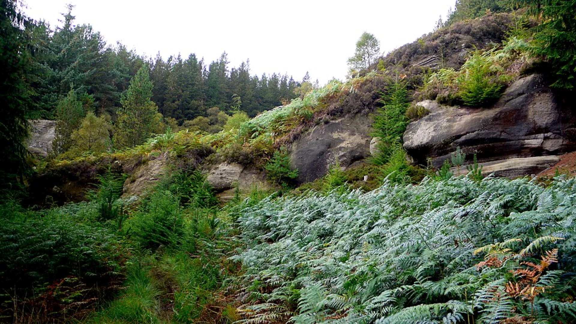
The loop begins with a steady ascent towards Stone Arthur, a prominent fell that offers stunning views of the surrounding valleys. The initial climb is about 3 km (1.9 miles) with an elevation gain of approximately 300 meters (984 feet). The terrain here is a mix of grassy paths and rocky sections, so sturdy hiking boots are recommended.
Stone Arthur to Great Rigg
From Stone Arthur, the trail continues to Great Rigg, another notable peak in the region. This section is about 2 km (1.2 miles) and involves an additional 200 meters (656 feet) of elevation gain. The path here is well-trodden but can be steep in places. Along the way, you'll be treated to panoramic views of the Lake District, including glimpses of Grasmere Lake and the surrounding fells.
Great Rigg to Fairfield
The next segment takes you from Great Rigg to Fairfield, the highest point on this loop at 873 meters (2864 feet). This stretch is approximately 3 km (1.9 miles) with an elevation gain of around 300 meters (984 feet). Fairfield offers a broad, flat summit with 360-degree views, making it an ideal spot for a rest and some photography.
Fairfield to High Pike
Descending from Fairfield, the trail leads you to High Pike. This section is about 4 km (2.5 miles) and involves a descent of roughly 200 meters (656 feet) followed by a smaller ascent. The path can be rocky and uneven, so take care with your footing. High Pike offers another excellent vantage point to appreciate the rugged beauty of the Lake District.
High Pike to Trailhead
The final leg of the journey takes you back to the trailhead near Grasmere. This descent is around 6 km (3.7 miles) with a drop of approximately 500 meters (1640 feet). The path winds through scenic woodlands and open fields, providing a gentle end to your hike.
Points of Interest
- Grasmere Village: Known for its charming cottages and the historic St. Oswald's Church, where William Wordsworth is buried.
- Wildlife: Keep an eye out for red squirrels, deer, and a variety of bird species, including peregrine falcons and red kites.
- Flora: The trail is rich with native plants, including heather, bilberry, and various wildflowers, especially vibrant in spring and summer.
Navigation
For navigation, it's advisable to use HiiKER, which provides detailed maps and real-time updates to ensure you stay on track. The trail is well-marked, but weather conditions can change rapidly, so having a reliable navigation tool is essential.
This loop trail offers a blend of challenging climbs, breathtaking views, and a touch of historical significance, making it a rewarding experience for any hiker.

What to expect?
Activity types
Comments and Reviews
User comments, reviews and discussions about the Stone Arthur, Great Rigg, Fairfield and High Pike Loop, England.
4.8
average rating out of 5
5 rating(s)