Download
Preview
Add to list
More
20.3 km
~1 day 0 hrs
739 m
Point-to-Point
“Embark on a captivating 20 km hike from Patterdale to Stainton, through scenic Ullswater and historic landmarks.”
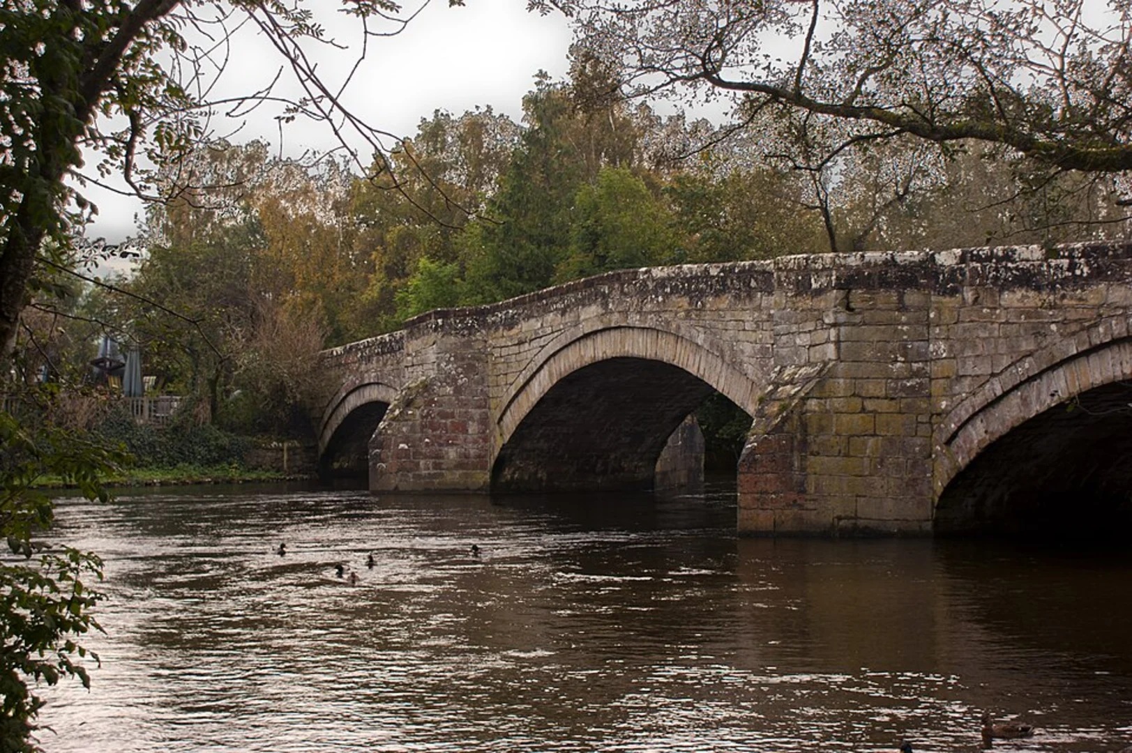
Starting near Westmorland and Furness in England, this 20 km (approximately 12.4 miles) point-to-point trail offers a medium difficulty hike with an elevation gain of around 700 meters (approximately 2,297 feet). The journey from Patterdale to Stainton via Ullswater is a captivating blend of natural beauty, historical landmarks, and diverse wildlife.
Getting There
To reach the trailhead, you can either drive or use public transport. If you're driving, head towards Patterdale, which is accessible via the A592 road. For those relying on public transport, the nearest major train station is Penrith, from where you can catch a bus to Patterdale. The bus service is relatively frequent, especially during the summer months, making it a convenient option for hikers.
Trail Overview
The trail begins in the quaint village of Patterdale, nestled in the heart of the Lake District. As you set off, you'll be greeted by the serene waters of Ullswater, the second largest lake in the Lake District. The initial part of the hike is relatively gentle, allowing you to ease into the journey while soaking in the picturesque surroundings.
Key Landmarks and Sections
#### Ullswater Shoreline
Approximately 3 km (1.9 miles) into the hike, you'll find yourself walking along the shoreline of Ullswater. This section offers stunning views of the lake and the surrounding fells. Keep an eye out for the Ullswater Steamers, historic boats that have been ferrying passengers since the 19th century. This is a great spot for a short break and some photography.
#### Aira Force Waterfall
Around the 7 km (4.3 miles) mark, you'll encounter Aira Force, a spectacular 65-foot waterfall. The waterfall is part of a National Trust property and is surrounded by ancient woodland. The area is rich in wildlife, including red squirrels, which are often spotted here. There are several viewing platforms that offer different perspectives of the waterfall, making it a must-see on this trail.
#### Gowbarrow Fell
As you continue, the trail ascends towards Gowbarrow Fell. This section is more challenging, with a steady climb that rewards you with panoramic views of Ullswater and the surrounding peaks. The elevation gain here is significant, so take your time and enjoy the scenery. The summit of Gowbarrow Fell is approximately 10 km (6.2 miles) into the hike and offers a perfect spot for a well-deserved rest.
Historical Significance
The region around Ullswater is steeped in history. The lake itself is said to have inspired William Wordsworth's famous poem "I Wandered Lonely as a Cloud." Additionally, the area was once a stronghold of the ancient Britons and later the Romans, who built roads and forts in the region. As you hike, you'll come across remnants of these historical periods, adding an extra layer of intrigue to your journey.
Final Stretch to Stainton
The descent towards Stainton begins after you leave Gowbarrow Fell. This section is less strenuous but requires careful navigation. Using HiiKER can be particularly helpful here to ensure you stay on the correct path. The trail meanders through lush meadows and small woodlands, gradually leading you to the village of Stainton.
Stainton is a charming village with a few amenities, including a pub where you can relax and reflect on your hike. The village is well-connected by bus to Penrith, making it easy to return to your starting point or continue your journey.
This trail offers a perfect blend of natural beauty, historical landmarks, and moderate physical challenge, making it an ideal choice for hikers looking to explore the Lake District.

What to expect?
Activity types
Comments and Reviews
User comments, reviews and discussions about the Patterdale to Stainton via Ullswater, England.
average rating out of 5
0 rating(s)