Download
Preview
Add to list
More
9.8 km
~2 hrs 11 min
134 m
Loop
“The High Chart and Greensand Way trail offers enchanting woodlands, historic ruins, and panoramic views in a 10 km loop.”
Starting near the picturesque village of Surrey, England, the High Chart and Greensand Way trail offers a delightful 10 km (6.2 miles) loop with an elevation gain of approximately 100 meters (328 feet). This medium-difficulty trail is perfect for those looking to immerse themselves in the natural beauty and historical richness of the region.
Getting There
To reach the trailhead, you can take a train to Dorking station, which is well-connected to London and other major cities. From Dorking, a short taxi ride or a local bus will bring you to the starting point near the village of Surrey. If you prefer to drive, there is ample parking available near the trailhead.
Trail Overview
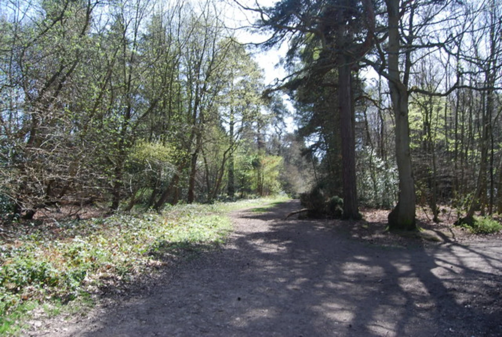
The trail begins with a gentle ascent through ancient woodlands, where you can expect to see a variety of native trees such as oak, beech, and chestnut. Keep an eye out for local wildlife, including deer, foxes, and a plethora of bird species. The first 2 km (1.2 miles) of the trail will take you through these serene woods, gradually climbing about 50 meters (164 feet).
Historical Significance
As you continue, you'll come across sections of the Greensand Way, a historic route that dates back to Roman times. This part of the trail offers stunning views of the surrounding countryside, including the North Downs and the Weald. At around the 4 km (2.5 miles) mark, you'll encounter the ruins of an old manor house, a testament to the area's rich history. Take a moment to explore and imagine life in centuries past.
Mid-Trail Highlights
Around the halfway point, the trail opens up to expansive meadows, offering panoramic views that are particularly breathtaking during sunrise or sunset. This is an excellent spot for a picnic or a short rest. The elevation gain here is minimal, making it a comfortable section to catch your breath and enjoy the scenery.
Navigating the Trail
For navigation, it's highly recommended to use HiiKER, which provides detailed maps and real-time updates. The trail is well-marked, but having a reliable navigation tool will ensure you stay on track, especially in the more remote sections.
Flora and Fauna
As you make your way back towards the starting point, the trail descends gently through mixed woodlands and open fields. Depending on the season, you might encounter blooming wildflowers, including bluebells in the spring and heather in the late summer. The diversity of plant life supports a wide range of insects and small mammals, making this a vibrant ecosystem to observe.
Final Stretch
The last 2 km (1.2 miles) of the trail bring you back through the village of Surrey, where you can enjoy a well-deserved rest at one of the local pubs or cafes. This section is relatively flat, allowing you to cool down and reflect on the journey.
Whether you're a seasoned hiker or a casual walker, the High Chart and Greensand Way trail offers a perfect blend of natural beauty, historical intrigue, and moderate physical challenge.

What to expect?
Activity types
Comments and Reviews
User comments, reviews and discussions about the The High Chart and Greensand Way, England.
5.0
average rating out of 5
3 rating(s)