Download
Preview
Add to list
More
12.2 km
~2 hrs 37 min
116 m
Point-to-Point
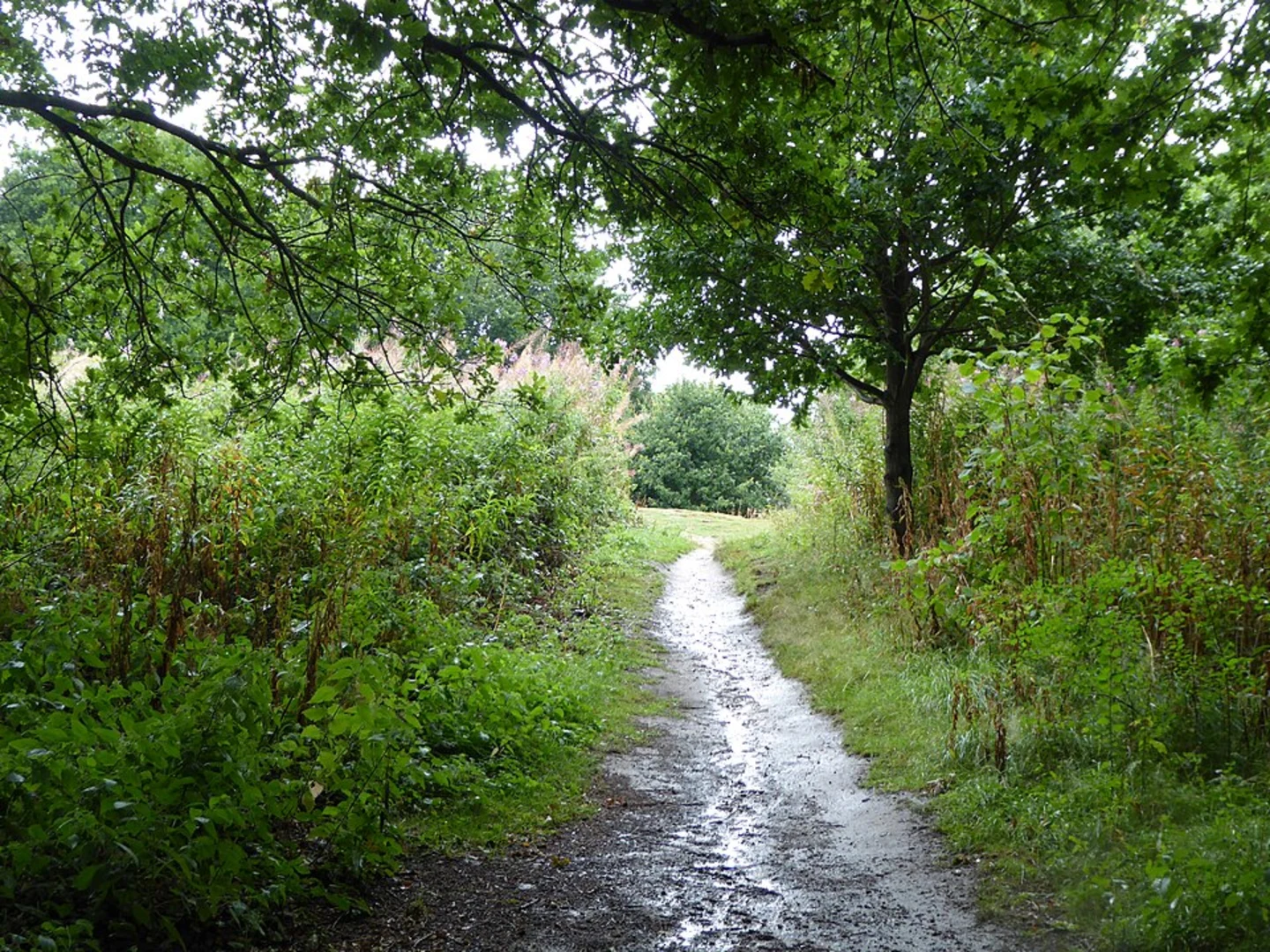
“Embark on a scenic 12km journey through Suffolk's history-rich countryside and coastal beauty, suitable for avid walkers.”
Embarking on the Westleton to Southwold Common Walk, hikers will traverse approximately 12 kilometers (about 7.5 miles) through the picturesque Suffolk countryside, encountering a modest elevation gain of around 100 meters (328 feet). This point-to-point trail is rated as medium difficulty, making it accessible to hikers with a reasonable level of fitness.
Getting to the Trailhead The journey begins near the village of Westleton, Suffolk, England. For those arriving by car, Westleton is accessible via the A12 and B1125 roads, with parking available in the village. Public transport users can take advantage of local bus services that connect to nearby towns and villages.
Route Overview As you set out from Westleton, the trail takes you through a mix of woodland and open fields, offering a chance to immerse yourself in the tranquil rural landscape. The initial section is relatively flat, allowing hikers to warm up before encountering gentle undulations that characterize the middle part of the walk.
Historical Significance and Landmarks The region is steeped in history, with the trail passing close to the ruins of medieval churches and ancient settlements. Keep an eye out for the Dunwich Heath and Beach, a National Trust property, which lies to the east as you progress southward. This area is a haven for wildlife and offers stunning coastal views.
Nature and Wildlife The Suffolk Coast and Heaths Area of Outstanding Natural Beauty envelops the trail, providing a habitat for a diverse array of birdlife. The heathlands bloom with vibrant gorse and heather, particularly in late summer. Minsmere Nature Reserve, renowned for its birdwatching opportunities, is a short detour from the trail and well worth the visit for nature enthusiasts.
Navigating the Trail As you approach Southwold, the trail meanders through more cultivated landscapes, with the occasional farm and quiet country lane. To navigate the trail, hikers can use the HiiKER app, which provides detailed maps and waypoints to ensure you stay on the correct path.
Arriving at Southwold Common The final stretch leads to Southwold Common, a large open space on the edge of the charming seaside town of Southwold. Here, you can explore the town's historic lighthouse, pier, and beach huts, or simply relax and enjoy the local cuisine at one of the many cafes or pubs.
Preparation and Planning Before setting out, ensure you have appropriate footwear for mixed terrain and clothing suitable for the unpredictable English weather. It's also advisable to carry water and snacks, as there are limited facilities along certain sections of the trail. Always check the weather forecast and plan your hike accordingly, allowing extra time for rest stops and exploration of the landmarks along the way.

What to expect?
Activity types
Comments and Reviews
User comments, reviews and discussions about the Westleton to Southwold Common Walk, England.
5.0
average rating out of 5
2 rating(s)