Download
3D Flyover
Add to list
More
11.9 km
~2 hrs 40 min
183 m
Loop
“Explore diverse landscapes and rich history on the moderately challenging 12 km Harley Thorns, Swynnerton, and Beech Loop.”
Starting near Staffordshire, England, the Harley Thorns, Swynnerton and Beech Loop is a delightful 12 km (approximately 7.5 miles) loop trail with an elevation gain of around 100 meters (328 feet). This trail is rated as medium difficulty, making it suitable for moderately experienced hikers.
Getting There
To reach the trailhead, you can drive or use public transport. If driving, set your GPS to Swynnerton, Staffordshire. There is parking available near the village. For those using public transport, the nearest major town is Stafford. From Stafford, you can take a local bus to Swynnerton, which is well-connected and offers a convenient drop-off point close to the trailhead.
Trail Overview
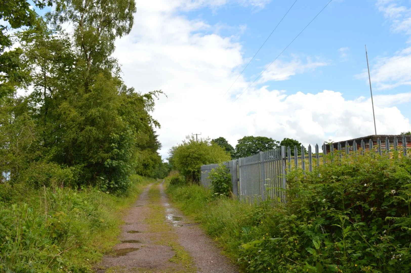
The trail begins near the charming village of Swynnerton. As you start, you'll be greeted by a mix of open fields and dense woodlands. The initial part of the trail is relatively flat, making it a good warm-up for the more varied terrain ahead.
Key Landmarks and Sections
Harley Thorns
Around 3 km (1.9 miles) into the hike, you'll reach Harley Thorns, a beautiful section characterized by its dense thickets and ancient trees. This area is particularly stunning in the autumn when the leaves turn vibrant shades of red and gold. Keep an eye out for local wildlife, including deer and various bird species.
Swynnerton Old Hall
At approximately the 5 km (3.1 miles) mark, you'll come across Swynnerton Old Hall. This historic building dates back to the 17th century and offers a glimpse into the region's rich history. The hall is not open to the public, but its exterior is worth admiring.
Beech Woodlands
Continuing on, you'll enter the Beech Woodlands around the 8 km (5 miles) point. This section involves a gentle ascent, gaining about 50 meters (164 feet) in elevation. The beech trees create a serene canopy overhead, making it a perfect spot for a short break. The forest floor is often carpeted with bluebells in the spring, adding a splash of color to your hike.
Navigation and Safety
The trail is well-marked, but it's always a good idea to have a reliable navigation tool. HiiKER is an excellent app for this purpose, providing detailed maps and real-time location tracking. Make sure to download the trail map before you set out, as mobile signal can be patchy in some areas.
Flora and Fauna
The trail is rich in biodiversity. In addition to deer, you might spot foxes, badgers, and a variety of bird species such as woodpeckers and owls. The flora is equally diverse, with ancient oaks, beech trees, and seasonal wildflowers.
Historical Significance
The region around Swynnerton has a deep historical significance. Swynnerton Old Hall is a testament to the area's long history, and the village itself has roots going back to medieval times. The landscape has been shaped by centuries of agricultural use, and you'll notice remnants of old stone walls and farm buildings along the way.
Final Stretch
The final 2 km (1.2 miles) of the trail loop back towards Swynnerton. This section is relatively flat and offers a leisurely end to your hike. As you approach the village, you'll pass through more open fields, providing a nice contrast to the wooded sections earlier in the hike.
This trail offers a balanced mix of natural beauty, historical landmarks, and moderate physical challenge, making it a rewarding experience for any hiker.

What to expect?
Activity types
Comments and Reviews
User comments, reviews and discussions about the Harley Thorns, Swynnerton and Beech Loop, England.
4.67
average rating out of 5
3 rating(s)